 Solar System


 World
World


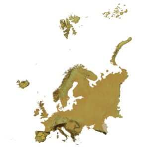
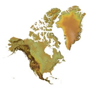
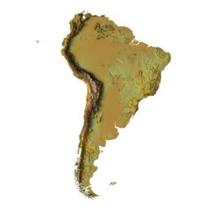
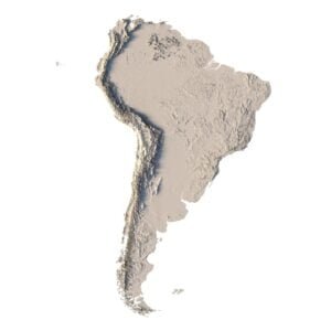
 Continents


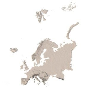
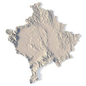
 Peninsulas
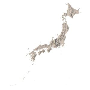
 Islands
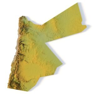
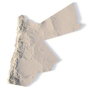
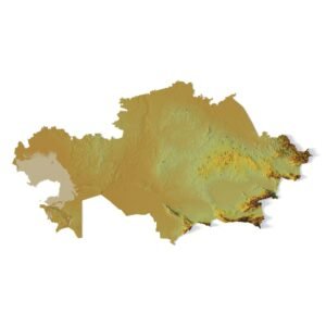
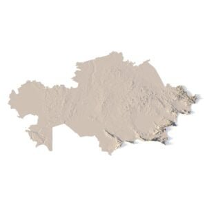
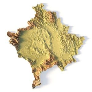
 Countries
 States of America


 Canadian Provinces


 Parks & Canyons
 Other
Other


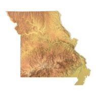
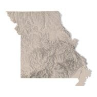
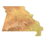

Create Detailed Missouri Terrain Models with This High-Resolution 3D STL
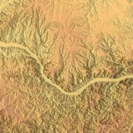
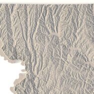
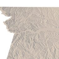
The Missouri Topographic Map STL model provides a high-resolution depiction of the state’s unique topography and geographic features. This 3D model is perfect for creating physical relief maps from materials like wood, metal, plastic, or concrete. Whether you’re using it for landform visualization, educational projects, or professional GIS applications, this model offers accurate elevation data for detailed terrain modeling. It’s ideal for use with 3D printers, CNC machines, and laser engravers.
Features of the Missouri Topographic STL Model
- Precise elevation data capturing Missouri’s rivers, hills, and flatlands.
- Compatible with FDM/SLA 3D printers for creating high-quality terrain models.
- Designed for CNC machining to craft detailed relief maps from wood or metal.
- Supports high-precision laser engraving for metal surface detailing.
Applications of the Missouri Topographic Map STL
This STL model is ideal for creating raised relief maps and 3D representations of Missouri’s landscape. Whether for landform visualization, educational uses, or professional GIS mapping projects, the accurate elevation data ensures precise terrain modeling. It’s valuable for both hobbyists and professionals looking to explore Missouri’s diverse geography.
How to Use the Missouri Terrain STL Model
The Missouri topographic map STL can be imported into CAD and GIS software for further customization. Its high-resolution elevation data and terrain accuracy make this model perfect for 3D printing, CNC machining, or laser engraving, providing a detailed and accurate representation of Missouri’s topography.