Showing all 13 results
$28.00
$35.00
$35.00
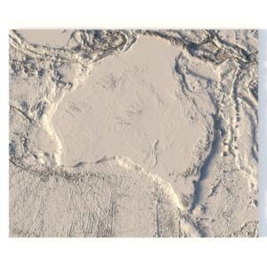
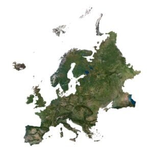
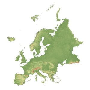
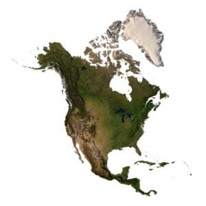
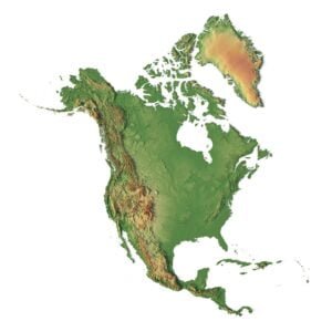
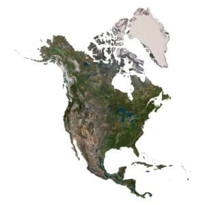
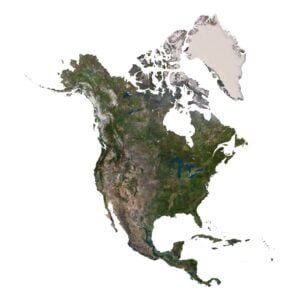
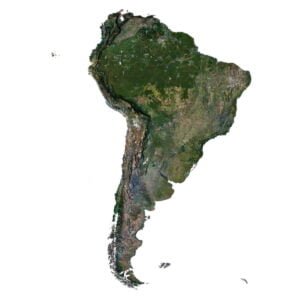
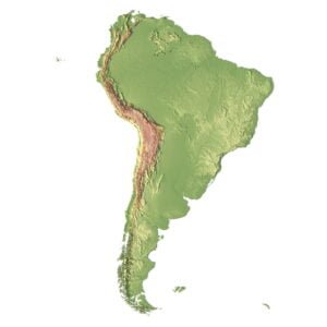
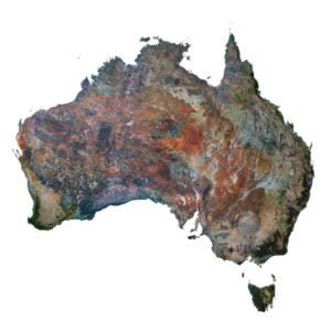
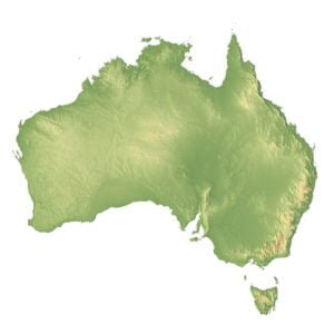
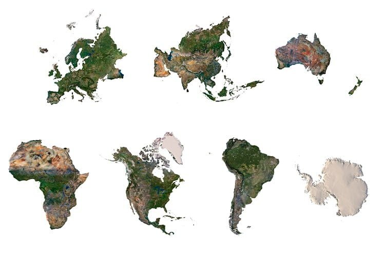
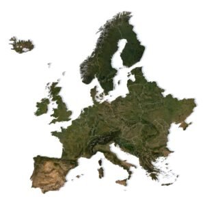
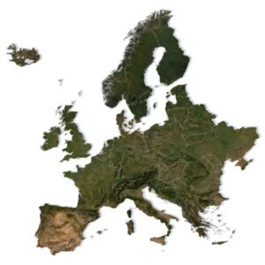
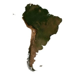
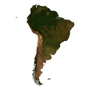
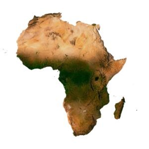
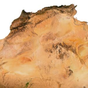
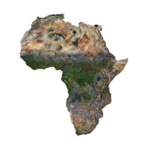
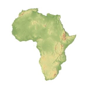
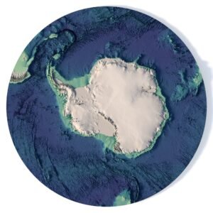
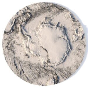
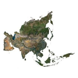
3D MODELS OF THE
CONTINENTS
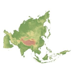
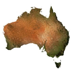
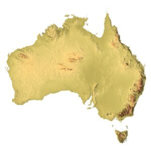
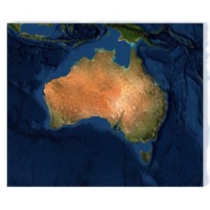
Our 3D models of continents include detailed relief maps of all parts of the world. These models are meticulously crafted to depict the geographical features of each continent. They are ideal for use in graphic design, educational projects, as well as creating physical models with 3D printing and CNC machines.
- Education and Research: Study the geography, climate, terrain, and natural features of continents for educational purposes or scientific research.
- Tourism and Travel: Plan your journeys, explore routes, investigate landscapes, and discover landmarks on your chosen continent.
- Architectural Design: Incorporate 3D continent models into your architectural projects to create realistic landscapes and layouts.
- Geospatial Analysis: Utilize data from 3D models for geospatial analysis, infrastructure planning, and geographical research.
- Multimedia Learning: Create educational materials, interactive educational applications, and visualizations to enhance the learning process.
Whether you need 3D models for education, professional use, or simply for enjoyment, our continental 3D models will help you bring your projects and research to life with a high degree of realism and accuracy.