3D Maps
3D SATELLITE MAPS
3D Satellite Maps: Elevate Your Space and Knowledge
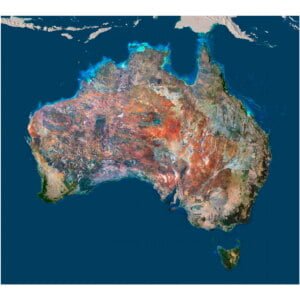
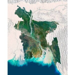
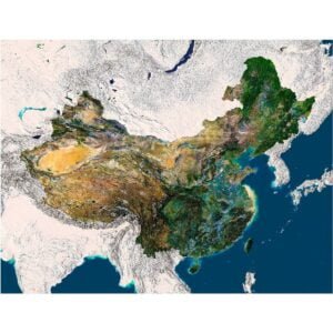
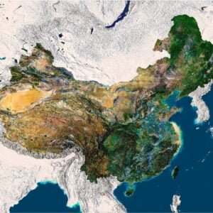
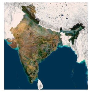
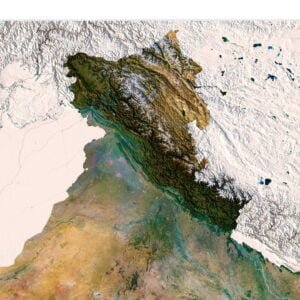
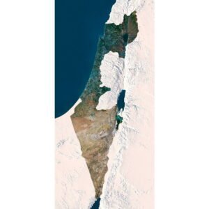
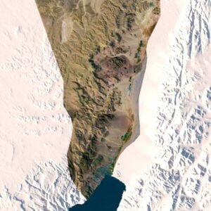
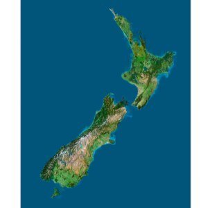
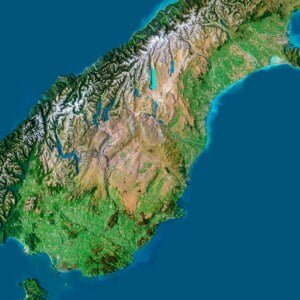
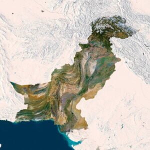
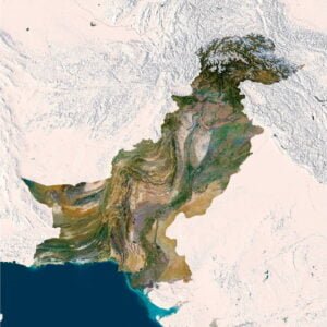
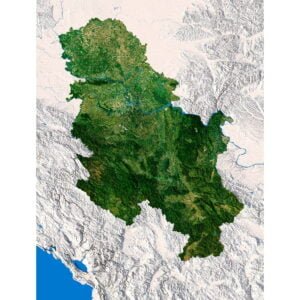
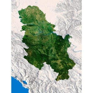
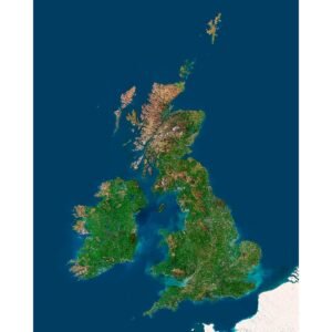
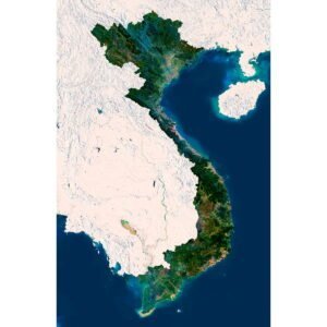
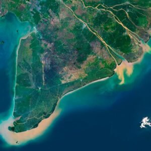
Dive into the world of 3D satellite maps, where technology and art converge to create breathtaking representations of our planet. Whether you're looking to enhance your educational tools or add a unique touch to your home decor, our 3D satellite maps offer the perfect solution.
Educational Use: Our 3D satellite maps are invaluable resources for educators and students alike. These maps provide a detailed and accurate representation of geographical features, allowing for an immersive learning experience. They can be used to study topography, environmental changes, and urban development. Enhance your geography, science, and history lessons with these interactive and visually appealing maps.
Home Decor: Transform your living space with our high-resolution 3D satellite maps. Perfect for modern interiors, these maps add a touch of sophistication and become a conversation starter for guests. Choose your favorite region or city and display it proudly in your home or office.
Interactive: Our 3D satellite maps are available as interactive digital versions, which can be integrated into websites. These maps allow users to explore and engage with geographical data in a fun and informative way.
Customization: Personalize your map to suit your needs. Select specific regions, add labels, or choose different color schemes to match your decor or educational requirements. Our team is here to help you create a custom map that meets your exact specifications.
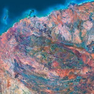
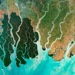
Quality and Detail: Each map is crafted with high-resolution satellite imagery, ensuring crisp and clear details. Our maps are meticulously designed to capture the natural beauty and intricate details of the Earth's surface, providing an unparalleled view of the world.
Explore our collection of 3D satellite maps today and discover the perfect addition to your educational toolkit or home decor. With options for customization and interactive formats available, you can create a map that is uniquely yours.
Bring the world closer with our 3D satellite maps – a fusion of technology, education, and art.

