Showing all 25 results
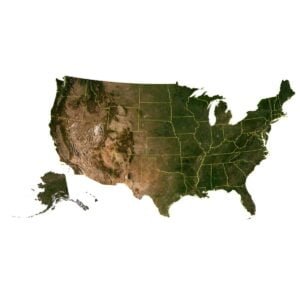
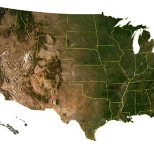


UNITED STATES OF AMERICA
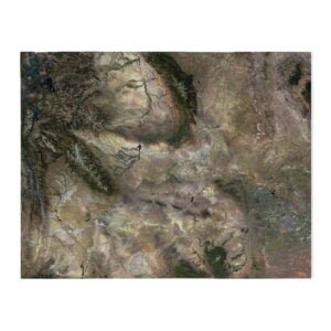
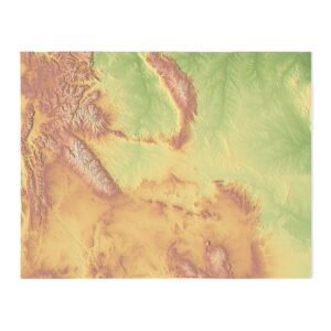
Our 3D models of American states include detailed relief maps of all 50 US states, such as California, Texas, New York, and others. These models are meticulously crafted and ideal for use in graphic design, educational projects, as well as creating physical models with 3D printing and CNC machines.
You can use these 3D models for:
- Education and Research: Study the geography, history, and culture of different states using interactive 3D models.
- Tourism and Travel: Plan your future trips, explore landmarks and landscapes to enhance your travel experience.
- Architectural Design: Incorporate 3D models into your architectural design projects to create realistic cityscapes and buildings.
- Geospatial Analysis: Utilize data from 3D models for geospatial research, city planning, and territory analysis.
- Educational Resources: Create educational materials, presentations, and learning applications to make education more interactive and engaging.
Whether you need 3D models for educational or professional purposes, our collection provides you access to high-quality data to help you achieve your goals.

A-K
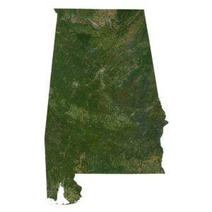
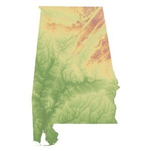
- Alabama 3D Model STL Model
- Alaska STL Model
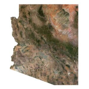
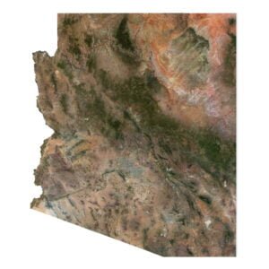
- Arizona 3D Model STL Model
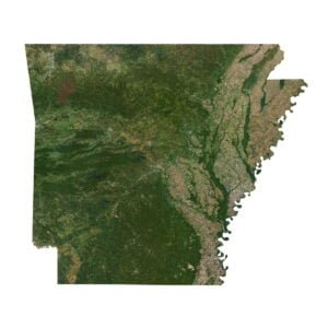
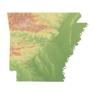
- Arkansas 3D Model STL Model
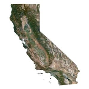
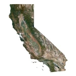
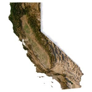
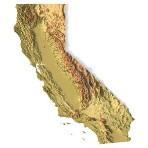
- California 3D Model STL Model
- Colorado 3D Model STL Model
- Connecticut STL Model
- Delaware STL Model
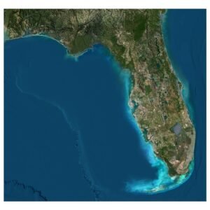
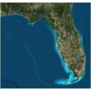
- Florida STL Model
- Georgia STL Model
- Hawaii STL Model 3D Model Without Water
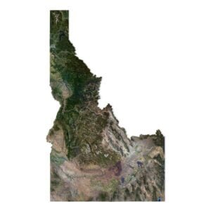
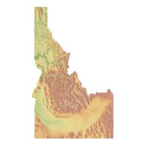
- Idaho 3D Model STL Model
- Illinois STL Model
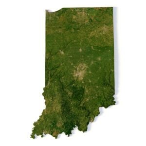
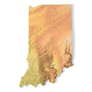
- Indiana STL Model
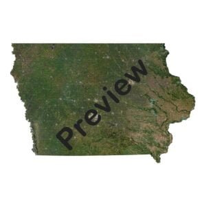
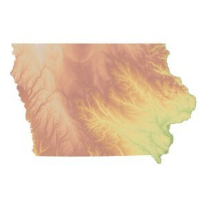
- Iowa 3D Model STL Model
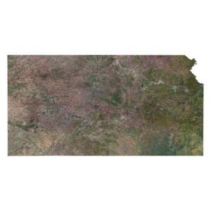
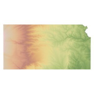
- Kansas 3D Model STL Model
- Kentucky STL Model
L-N
- Louisiana STL Model
- Maine STL Model
- Maryland STL Model
- Massachusetts STL Model
- Michigan STL Model
- Minnesota STL Model
- Mississippi STL Model
- Missouri STL Model
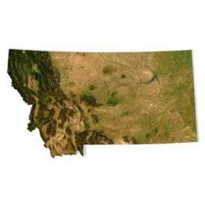
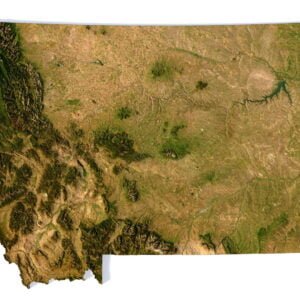
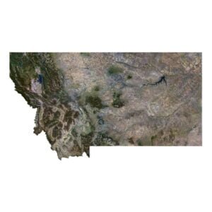
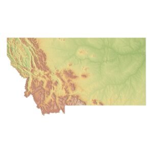
- Montana 3D Model Tex.1 Tex. 2 STL Model
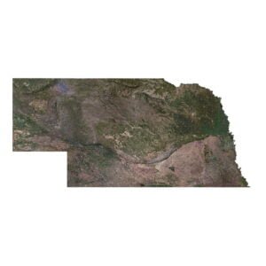
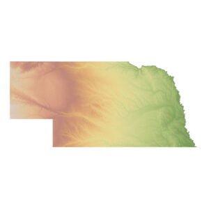
- Nebraska 3D Model STL Model
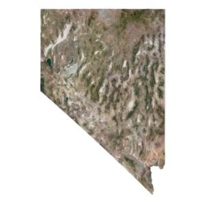
- Nevada 3D Model STL Model
- New Hampshire STL Model
- New Jersey STL Model
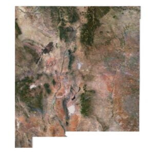
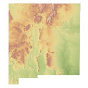
- New Mexico 3D Model STL Model
- New York STL Model
- North Carolina STL Model
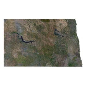
- North Dakota 3D Model STL Model
O-W
Ohio STL Model
Oklahoma STL Model
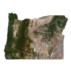
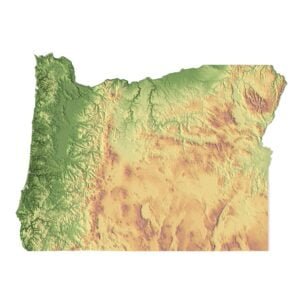
Oregon 3D Model STL Model
Pennsylvania STL Model
Rhode Island STL Model
South Carolina STL Model
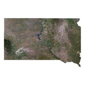
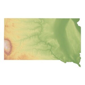
South Dakota 3D Model STL Model
Tennessee STL Model
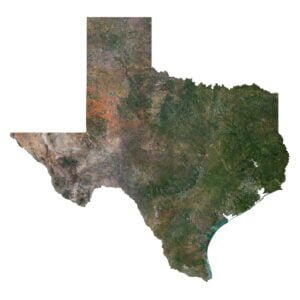
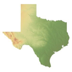
Texas 3D Model STL Model
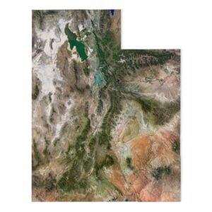
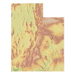
Utah 3D Model STL Model
Vermont STL Model
Virginia STL Model
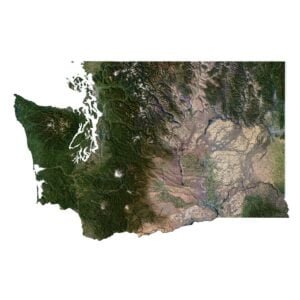
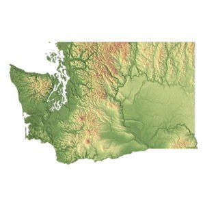
Washington 3D Model STL Model
West Virginia STL Model
Wisconsin STL Model
Wyoming 3D Model STL Model