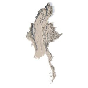
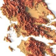

Relief map of Greece
High-resolution relief map of Greece in PSD format
![]()
- Linear size: 84.6 x 84.6 cm
- Pixel resolution: 100 MPx (10 000 px x 10 000 px)
- File size: ~700 MB
- Compression: No compression
- Color Depth: 16 Bit/channel
- Color model: CMYK
- ICC-profile: U.S. Web Coated (SWOP) v2
- Print resolution: 300 DPI
- Scaling factor: X – 0.0000001; Y – 0.0000001; Z – 0.0000030
- Projection: Mercator
Greece is located in southern Europe along the Aegean Sea, Ionian Sea, and the Mediterranean Sea. It is categorized as an archipelago because it consists of about 6,000 islands. But only 227 islands are inhabited by human settlements or visited by tourists.
Athens is the capital and largest city of Greece. It borders several European countries including Albania, North Macedonia, and Bulgaria to the north as well as Turkey to the northeast.
The country is nicknamed “the cradle of modern Western civilization” because of its influences today. For example, Greek shaped the future in the alphabet, libraries, democracy, law, and of course the Olympics.

Color design for the relief map of Greece
You can change the color scheme of the relief map yourself in Photoshop or any other graphics editor.
You can also add your own text or additional graphics.


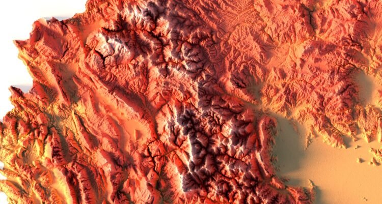
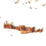
Relief map of Greece at 100% zoom