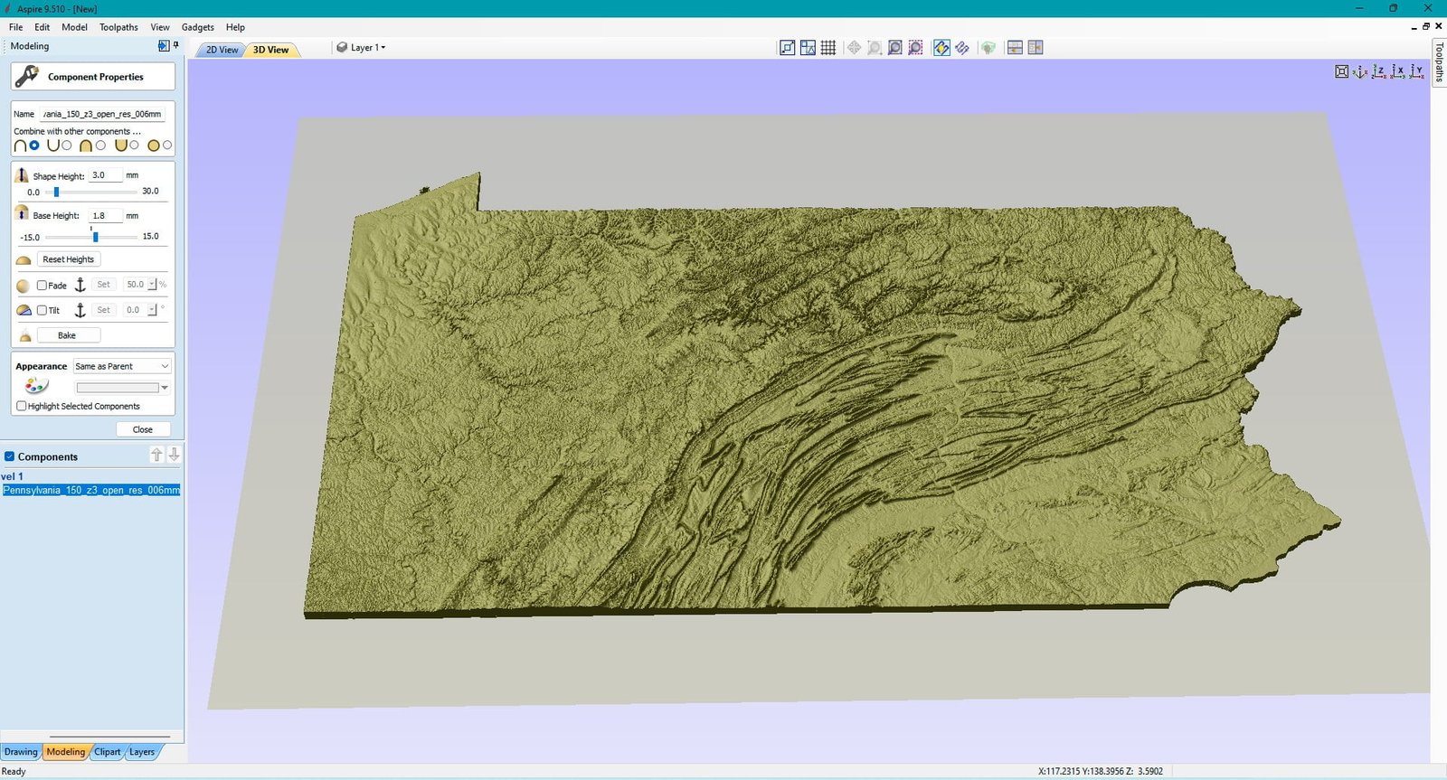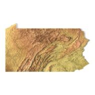
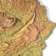
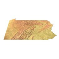
State of Pennsylvania STL model
$21.00
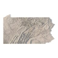
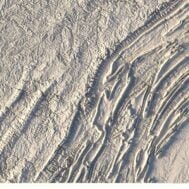
High-polygon 3D model state of Pennsylvania in STL format
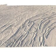
![]()
- File size: 868 MB
- Model size: 259.5 mm x 149.82 mm x 1.294 mm
- Resolution: 0,06 mm
- Projection: Mercator
- Scaling factor: X — 1; Y — 1; Z — 3
- Polygons: 18 207 950
- Vertices: 9 111 796
- Geometry: Polygonal Tris only
- Base: Open
Pennsylvania, officially the Commonwealth of Pennsylvania, is a U.S. state spanning the Mid-Atlantic, Northeastern, and Appalachian regions of the United States. It borders Delaware to the southeast, Maryland to the south, West Virginia to the southwest, Ohio to the west, Lake Erie and the Canadian province of Ontario to the northwest, New York to the north, and New Jersey to the east.
The state Pennsylvania has five geographical regions, namely the Allegheny Plateau, Ridge and Valley, Atlantic Coastal Plain, Piedmont, and the Erie Plain.
The highest point Pennsylvania of 3,213 feet (979 m) above sea level is at Mount Davis. Its lowest point is at sea level on the Delaware River.
What can I use a 3D model in STL format for?
STL model state of Pennsylvania can be used for various purposes:
- Making physical models from plastic or photopolymer using 3D printers
- Making models of wood or metal using CNC machines
- Making a high-resolution relief using 3D laser markers
- Making of “master forms” for duplication of products using foam polystyrene or concrete
- Creating computer graphics
- Creation of low-polygonal models for computer games


What is the resolution of the 3D model state of Pennsylvania?
With the development of technology, it is becoming possible to produce more and more precise relief models.
For example, there are 3D printers that can print models with a layer height of 0.16 mm, 0.1 mm, 0.05 mm, or even less. These devices require high-quality models. But a higher-quality 3D model contains more polygons and has a larger file size. One of the challenges is to find a compromise between the file size of the STL model, which would be convenient to work with, and the desired quality of the finished product.
The 3D model state of Pennsylvania has a fairly large size and many polygons.

How do I change the parameters of the STL model state of Pennsylvania?
You can easily resize the model in any program that allows you to import STL files.
In addition to changing the scale in width, length, and height, you can add a higher base. You can also use anti-aliasing tools, add bulk text, reduce the number of polygons, etc.