
Showing all 8 results




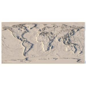
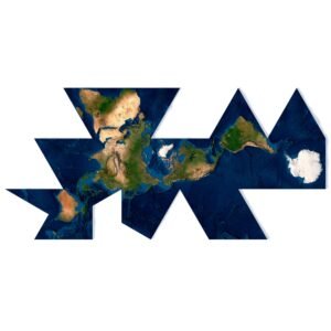
World 3D Models for Geographic Renders and Animation
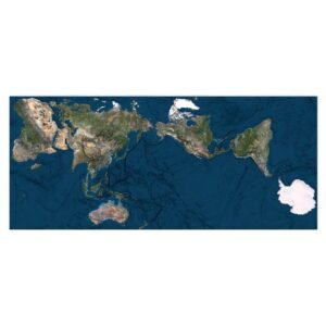
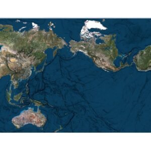
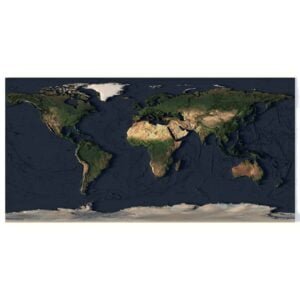
Create geography visuals for websites, presentations, educational content and animation scenes with world map and polar terrain models. Choose the rectangular World Earth Map, the triangular layout of Dymaxion, or the Authagraph World Map to suit your composition.
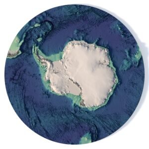
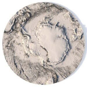
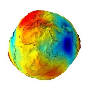
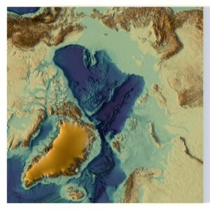
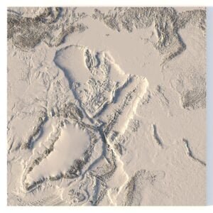
Focus on polar landscapes with the North Pole model or Antarctica terrain. For a different global view, explore Earth’s Gravity Map. Use camera framing, relief shading and texture choices to build a clear visual for your subject.
The collection contains different file formats and model types, so check the chosen product page for supplied geometry, textures and any conversion offered on request. The four examples below show a website banner, a polar learning graphic, a motion graphics still and a projection presentation. Browse the wider 3D Models collection for related digital assets.
Four ways to present world map and Earth models
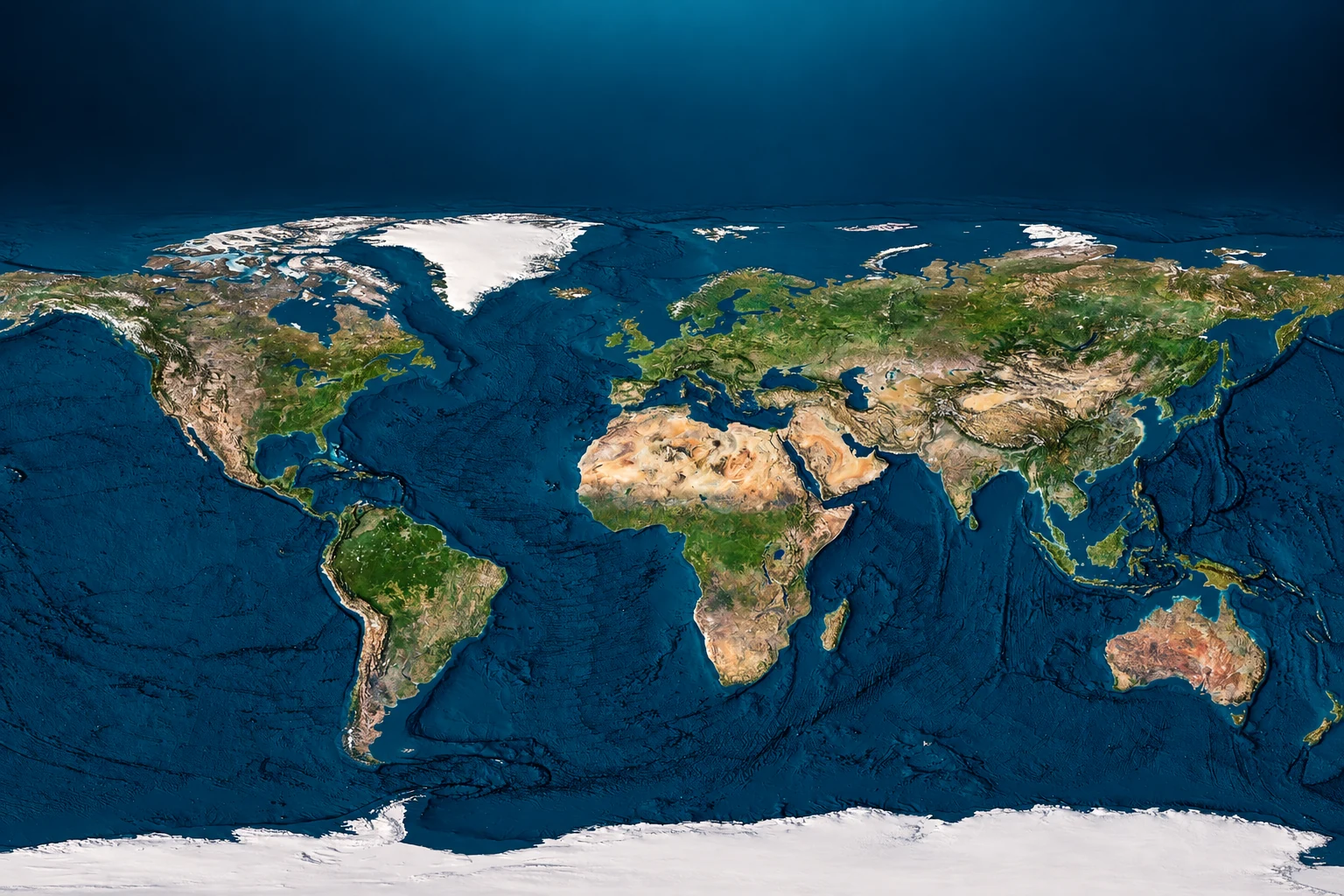
World Earth Map — website banner concept
A textured world map composed with clear space for a geography website headline.
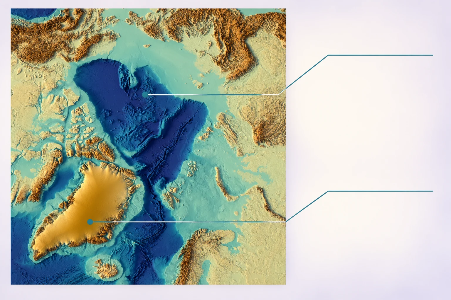
North Pole — polar geography learning graphic concept
A polar terrain view with blank callout areas for an educational presentation.
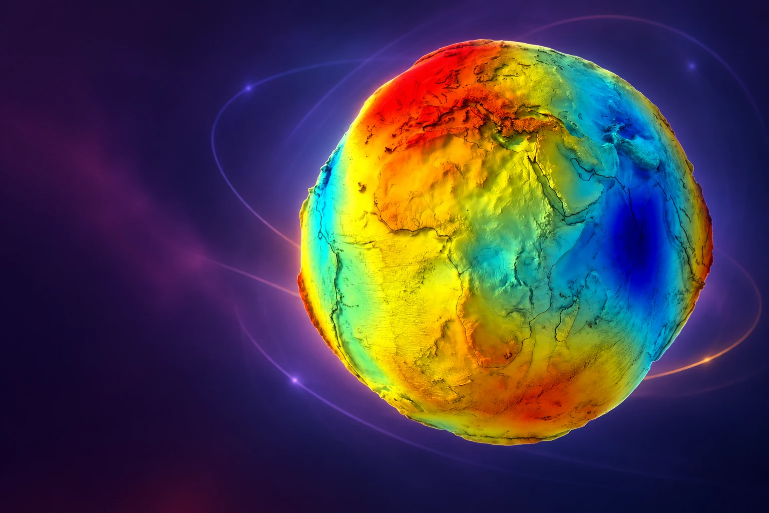
Earth’s Gravity Map — motion graphics still concept
A colourful globe composition for a science video or motion graphics sequence.
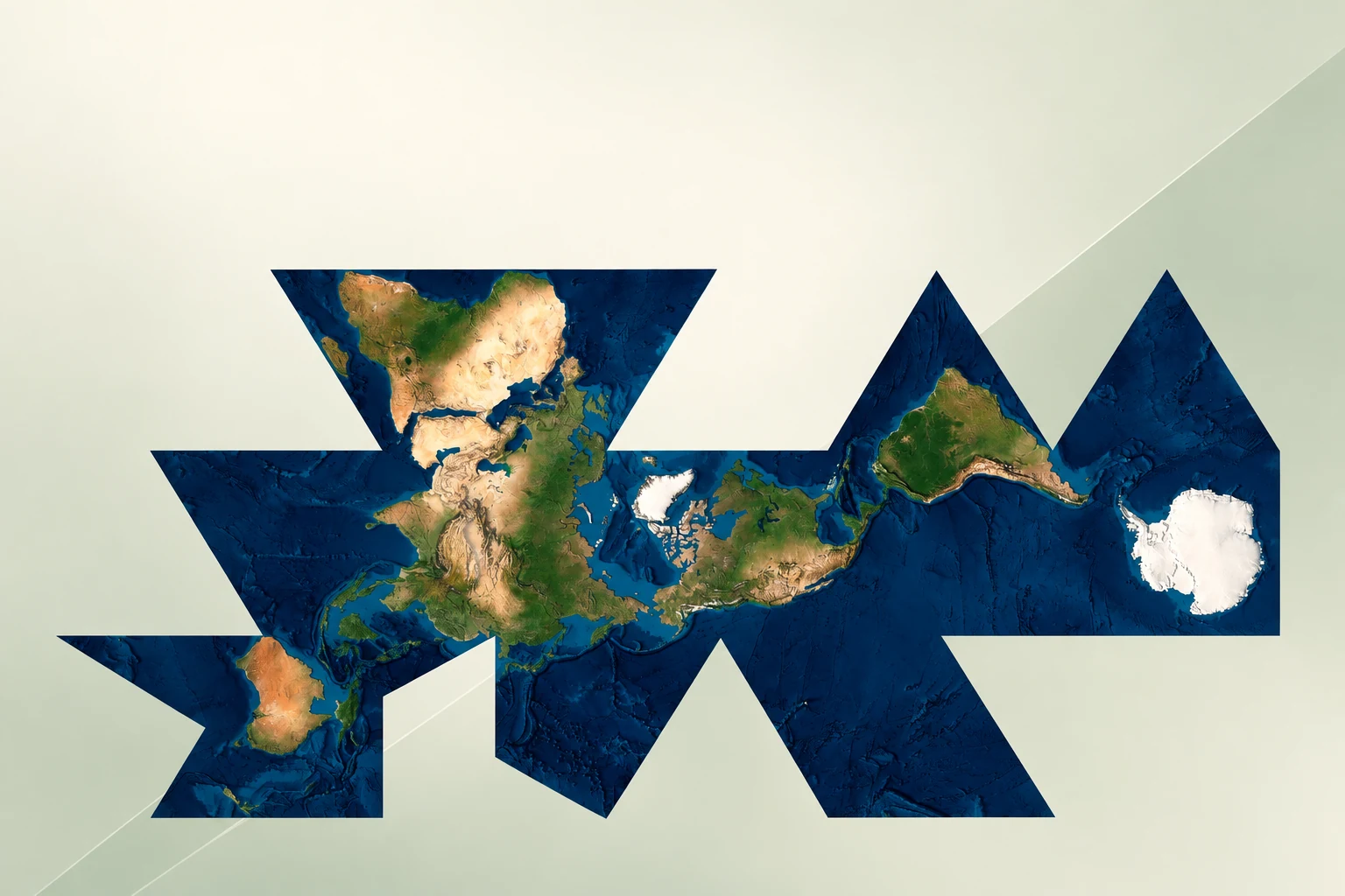
Dymaxion — world projection presentation concept
The distinctive unfolded map layout used as the main graphic of a presentation slide.
AI-generated digital application concepts based on product imagery. Lighting, callouts and graphic styling are illustrative; the motion graphics example is a still image. Finished scenes and animation files are not shown as included downloads.