
Showing the single result
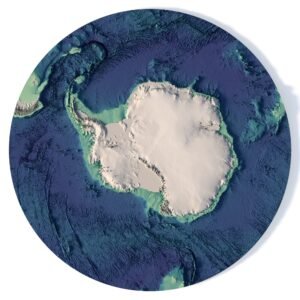
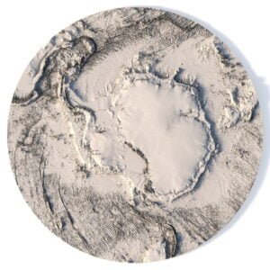
South Pole 3D Model for Antarctic Terrain Visualisation
Create southern polar geography visuals with the Antarctica Elevation Map 3D Model. This category brings Antarctica’s terrain into digital projects, from website illustrations and presentation graphics to educational scenes and animation sequences.
The product listing specifies a C4D model, a TIF texture and a polar stereographic projection. Start with an overhead view to show the polar terrain composition, or use an oblique camera and directional lighting to bring out the relief. Check the product page for geometry, texture resolution and file requirements before preparing your scene.
For a northern polar scene, explore the North Pole 3D model. Combine regional assets from the World 3D Models collection, or browse the full 3D Models catalogue for other geography projects.