Showing all 2 results
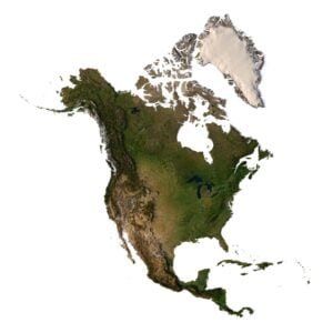
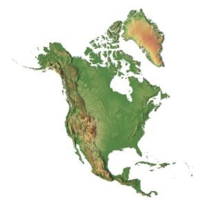
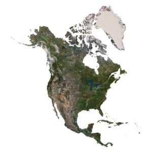
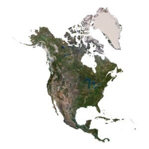
North America 3D Models for Renders and Animation
Create continental geography visuals for websites, presentations, educational content and animation scenes. The North America 3D model combines textured terrain with an overview of Greenland, the Arctic islands, the mainland and Central America. Use an overhead view for a clear composition, or an oblique camera and directional lighting to highlight the relief.
For a workflow with multiple texture maps, explore the North America Map 3D Model. Its listing includes height, normal, satellite, water-mask, pseudo-colour and boundary-mask textures. Both products list C4D files and Lambert Conformal Conic projection, with OBJ/FBX conversion offered on request. Check each product for geometry, texture resolution and file requirements before preparing your scene.
The four examples below show a website hero, a relief learning graphic, an animation scene still and a presentation composition. Explore the Continent 3D Models collection for other regions, or browse the full 3D Models catalogue for related digital assets.
Four ways to use North America terrain visuals
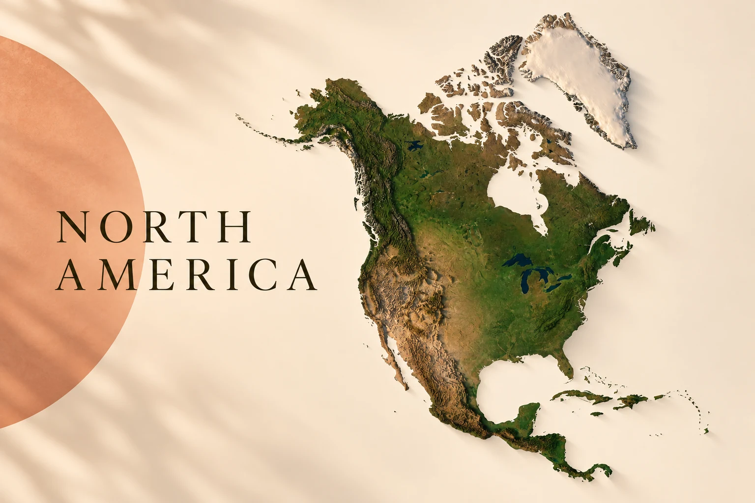
North America — website hero
A continental relief view composed as a website hero with room for a headline.
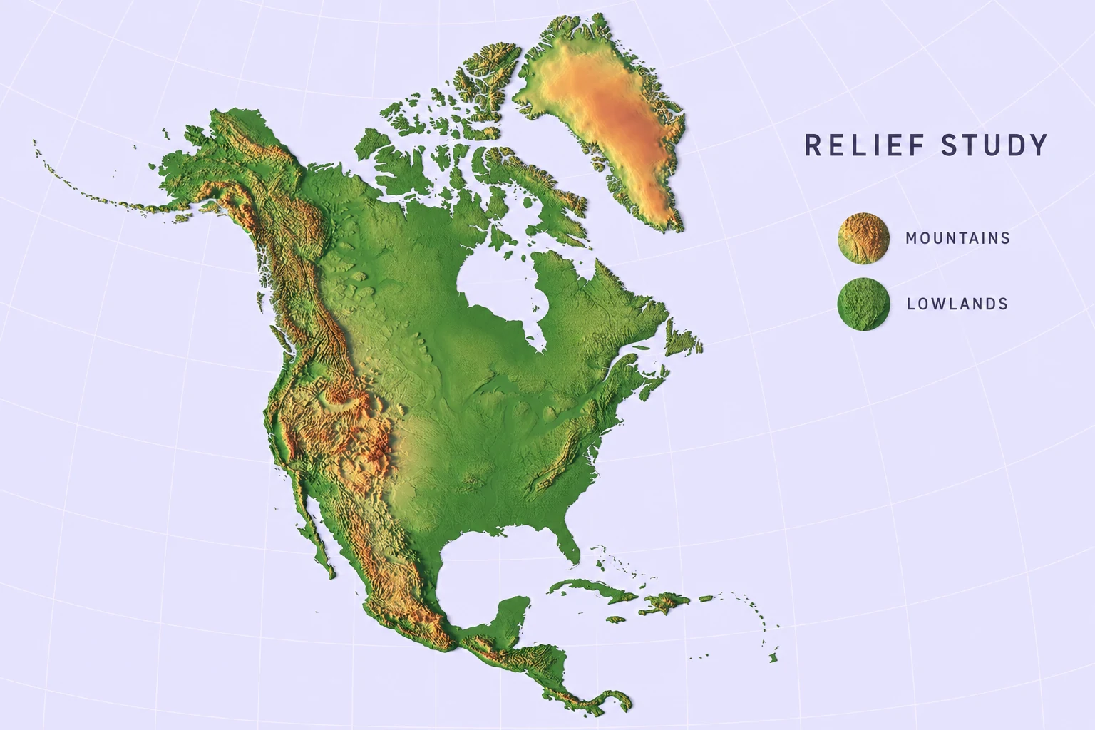
North America — relief learning graphic
An educational graphic exploring relief through a colour-shaded terrain view.
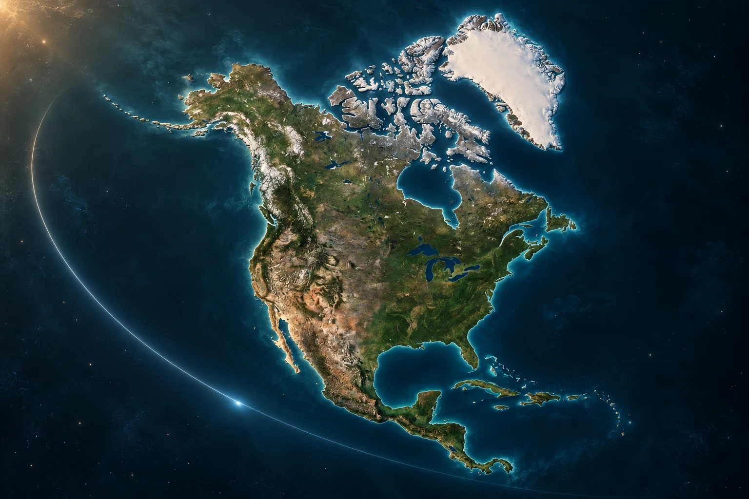
North America — animation scene still
A still-frame concept for a camera move over the model’s textured terrain.
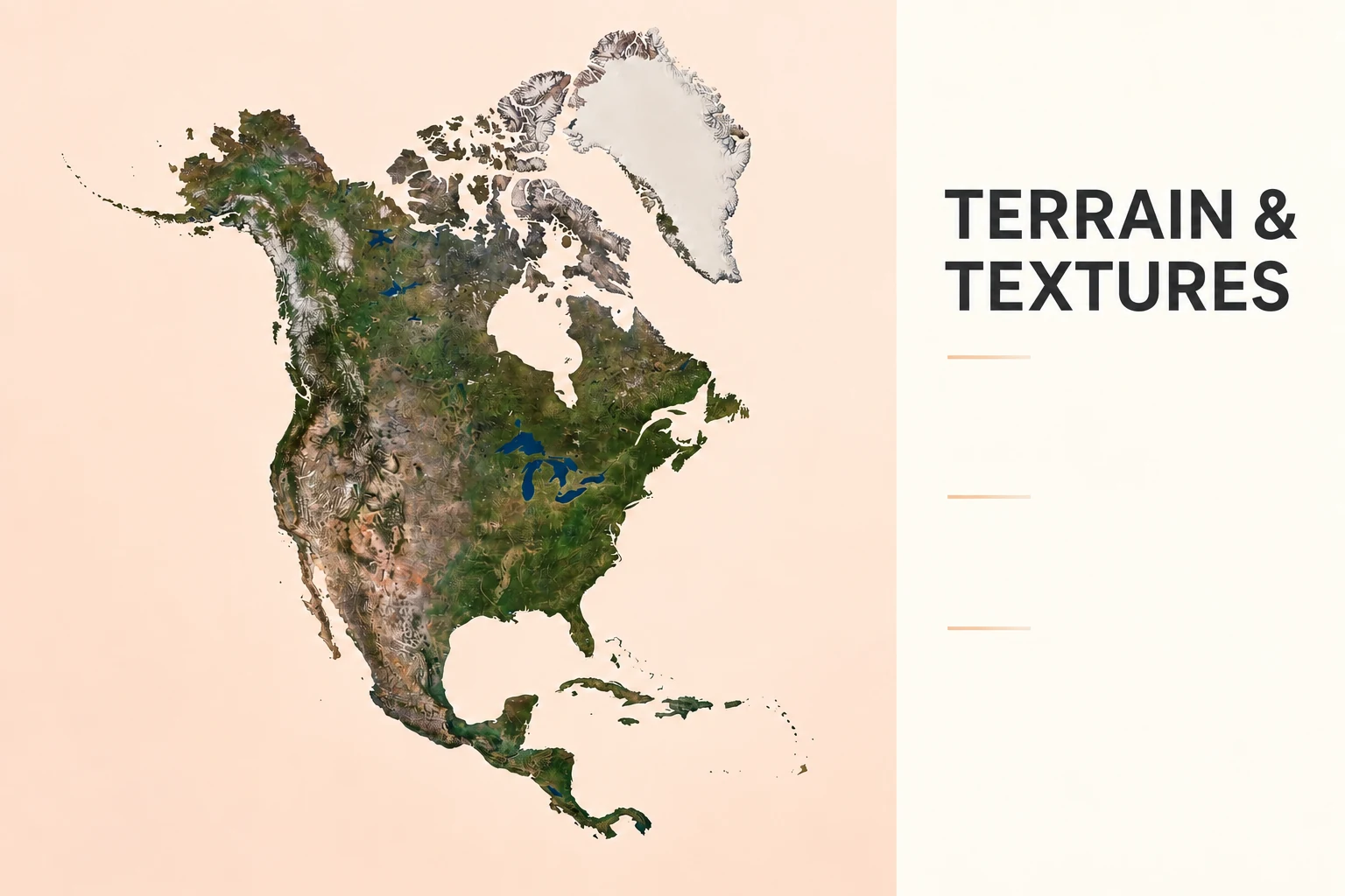
North America — presentation graphic
A clean presentation composition using the terrain model as the main geographic visual.
AI-generated digital application concepts based on product imagery. Camera framing, lighting, colour treatment and graphic styling are illustrative; the animation example is a still image. Finished scenes, graphics and animation files are not shown as included downloads.
NORTHERN AMERICA 3D MODELS


CENTRAL AMERICA 3D MODELS

Belize
- OBJ
- STL

Costa Rica
- You can order 3D Model
- Satellite Map
- STL

El Salvador
- C4D/OBJ/BLEND
- STL
- Satellite Map

Guatemala
You can order it.


CARIBBEAN 3D MODELS

Anguilla
You can order it.

Antigua and Barbuda
You can order it.

Bahamas
- You can order 3D Model.
- Satellite Map

Barbados
You can order it.

Bermuda
You can order it.

British Virgin Islands
You can order it.

Cayman Islands
You can order it.

Cuba
- You can order 3D Model
- Satellite Map

Dominica
- C4D/OBJ/BLEND
- STL

Dominican Republic
- C4D/OBJ/BLEND
- STL

Grenada
You can order it.

Haiti
- C4D/OBJ/BLEND
- STL
- Satellite Map

Jamaica

Montserrat
You can order it.

Puerto Rico
- You can order 3D Model
- Satellite Map

Saint Kitts & Nevis
You can order it.

Saint Lucia
You can order it.

St. Vincent & Grenadines
You can order it.

Trinidad and Tobago
You can order it.

Turks and Caicos
You can order it.
UNITED STATES 3D MODELS
Alabama

Alaska

Arizona

Arkansas

California

Colorado

Connecticut
Delaware

Florida

Georgia

Hawaii

Idaho

Illinois

Indiana


Kansas

Kentucky

Louisiana

Maine

Maryland




Missouri

Montana

Nebraska