Showing 1–25 of 87 results

SATELLITE MAPS & IMAGERY
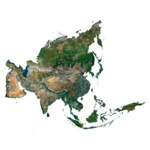
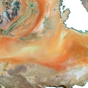
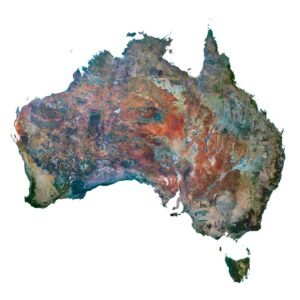
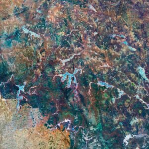
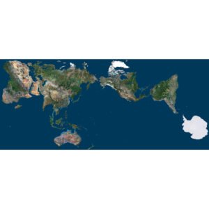
Discover and buy satellite images, maps, and photos with outstanding clarity and detail. Our collection offers high-resolution satellite imagery for professionals, researchers, designers, and creatives who need accurate, visually striking remote sensing data.
We provide a wide selection of satellite maps and earth observation images in formats like GeoTIFF, TIF, PNG, and PSD, suitable for both geospatial analysis and creative projects such as wall art or educational displays. Whether you're looking to purchase satellite photos for a GIS project or acquire aerial images for architectural visualization — you’re in the right place.
Our Clients
We serve a broad range of customers seeking reliable satellite image sources, including:
GIS professionals and cartographers
Using geospatial imagery for mapping, terrain modeling, and planning.Architects and urban planners
Leveraging aerial image acquisition to visualize urban layouts and project sites.Scientists and researchers
Utilizing remote sensing data and earth observation images for environmental and academic work.Designers and artists
Turning satellite maps into stunning visuals for posters, wall art, and digital projects.Tourism agencies and travel bloggers
Using detailed maps in print and web materials.
Use Cases
Our high-resolution satellite imagery is ideal for:
GIS mapping and spatial analysis
Environmental monitoring and land use planning
Architectural and infrastructure design
Print and digital wall art (CMYK / PSD files)
Educational materials and geography teaching
Travel guides, maps, and souvenirs
Visual presentations and 3D modeling backdrops