 Solar System


 World
World


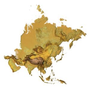
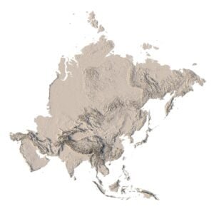
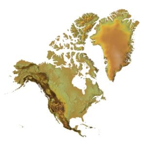
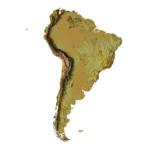
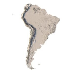
 Continents


 Peninsulas
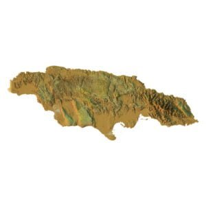
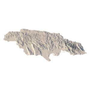
 Islands
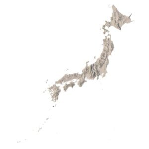
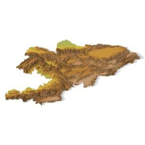
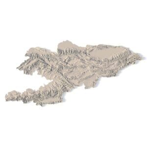
 Countries
 States of America


 Canadian Provinces


 Parks & Canyons
 Other
Other


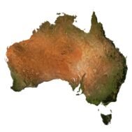
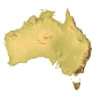
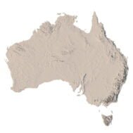
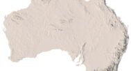
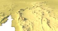
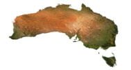
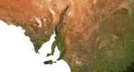
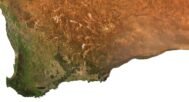

Our detailed Australia relief map offers a comprehensive view of the country’s topography, showcasing its varied landforms, from mountains and valleys to coastal regions. Designed for educational, professional, or decorative use, this map presents Australia’s terrain with precision, making it a valuable tool for geography enthusiasts, environmental studies, and more.
Detailed Topography and Elevation Features in Australia’s Relief Map
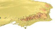
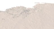
This relief map of Australia highlights the nation’s most prominent geographical features, such as towering mountains, sweeping valleys, and intricate coastlines. The map provides a realistic view of Australia’s landscape through well-defined contours and accurate elevation data, making it perfect for studying the region’s natural and geographical complexities.
Key Applications of the Australia Relief Map
- Educational Tool
Use this map in classrooms or lectures to teach students about terrain, natural formations, and Australia’s geographical features like its deserts, mountain ranges, and coastlines. - Professional Use
This relief map is ideal for professionals involved in environmental studies, urban planning, or natural resource management, offering clear insight into the distribution of landforms and terrain across the continent. - Decorative Use
Add a sophisticated touch to your office, classroom, or home with this visually striking map that serves as both an informative and aesthetic piece of art.
Why Choose Our Australia Relief Map?
Our Australia relief map stands out due to its precision in showcasing Australia’s topography. With detailed elevation features and well-defined contours, this map provides a clear view of the country’s unique natural landscapes, making it a versatile tool for a range of educational, professional, and personal uses.

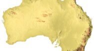
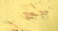
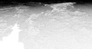
Australia DEM

The elevation map is used to get information about low and high parts of the relief.
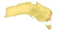
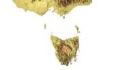
Shapefile of Australia

The shapefile is used to cut the 3D models along the contour.
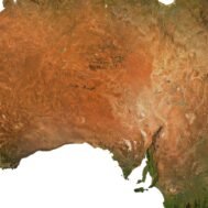
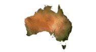
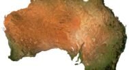
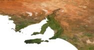
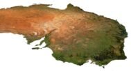
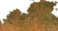
Satellite image of Australia

The satellite texture is high resolution in TIF format.
Have a Question?
Do you need Shapefile of Australia and regions?
Do you need more resolution satellite Australia images?
Do you need a 3D Relief map of Australia in BLEND, OBJ or FBX format?