 Solar System


 World
World


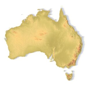
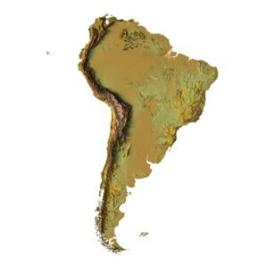
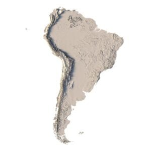
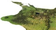
 Continents


 Peninsulas
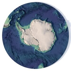
 Islands
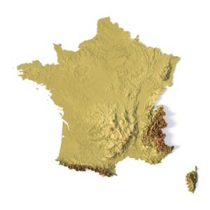
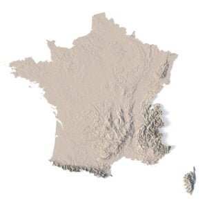
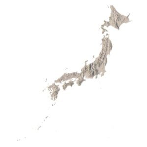
 Countries
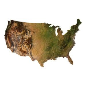
 States of America


 Canadian Provinces


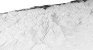
 Parks & Canyons
 Other
Other


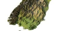
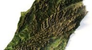

Discover the beauty of New Zealand’s landscape with our New Zealand elevation 3D model. This detailed model is perfect for graphic design, educational projects, and unique decorative pieces. It captures precise elevation data, providing a realistic view of New Zealand’s topography.
Perfect for Graphic Design, Education, and More
Our New Zealand elevation 3D model is versatile, offering a range of applications:
- Graphic Design: Use the model for terrain visualization and create stunning visuals that showcase New Zealand’s diverse landscape.
- Educational Projects: A valuable tool for teaching geospatial analysis, this model helps students understand the region’s topography.
- Decorative Pieces: Ideal for creating 3D-printed or carved décor, highlighting the natural beauty of New Zealand.
Accurate Elevation Data for Precise Topography
The model includes precise elevation data, offering a highly accurate digital elevation model of New Zealand. Perfect for 3D mapping, it’s ideal for anyone looking to incorporate realistic terrain visualization into their projects. It’s also great for landform representation in educational and research contexts.
Easy to Download and Customize
Download the New Zealand elevation 3D model and customize it for your specific project. Whether you’re using it for cartographic visualization or as a decorative piece, this model can be adjusted to fit your design needs.
Why Choose the New Zealand Elevation 3D Model?
- Highly Detailed: Accurate elevation data for a precise digital elevation model.
- Multi-Purpose: Ideal for designers, educators, and anyone interested in landscape modeling or terrain visualization.
- Customizable: Easily modify the model for different uses, from graphic design to 3D printing.

In addition to the 3D terrain model of the New Zealand, I can attach a map of heights, shape-files and various satellite textures.
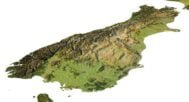
New Zealand DEM

The elevation map is used to get information about low and high parts of the New Zealand relief.
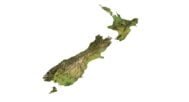
Shapefile of New Zealand

The shapefile is used to cut the 3D model along the contour.
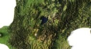
Satellite image of New Zealand

The satellite texture is high resolution in TIF format.
Have a Question?
Do you need Shapefile of the New Zealand and regions?
Do you need more resolution satellite New Zealand images?
Do you need a 3D models in BLEND, OBJ or FBX format?