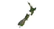


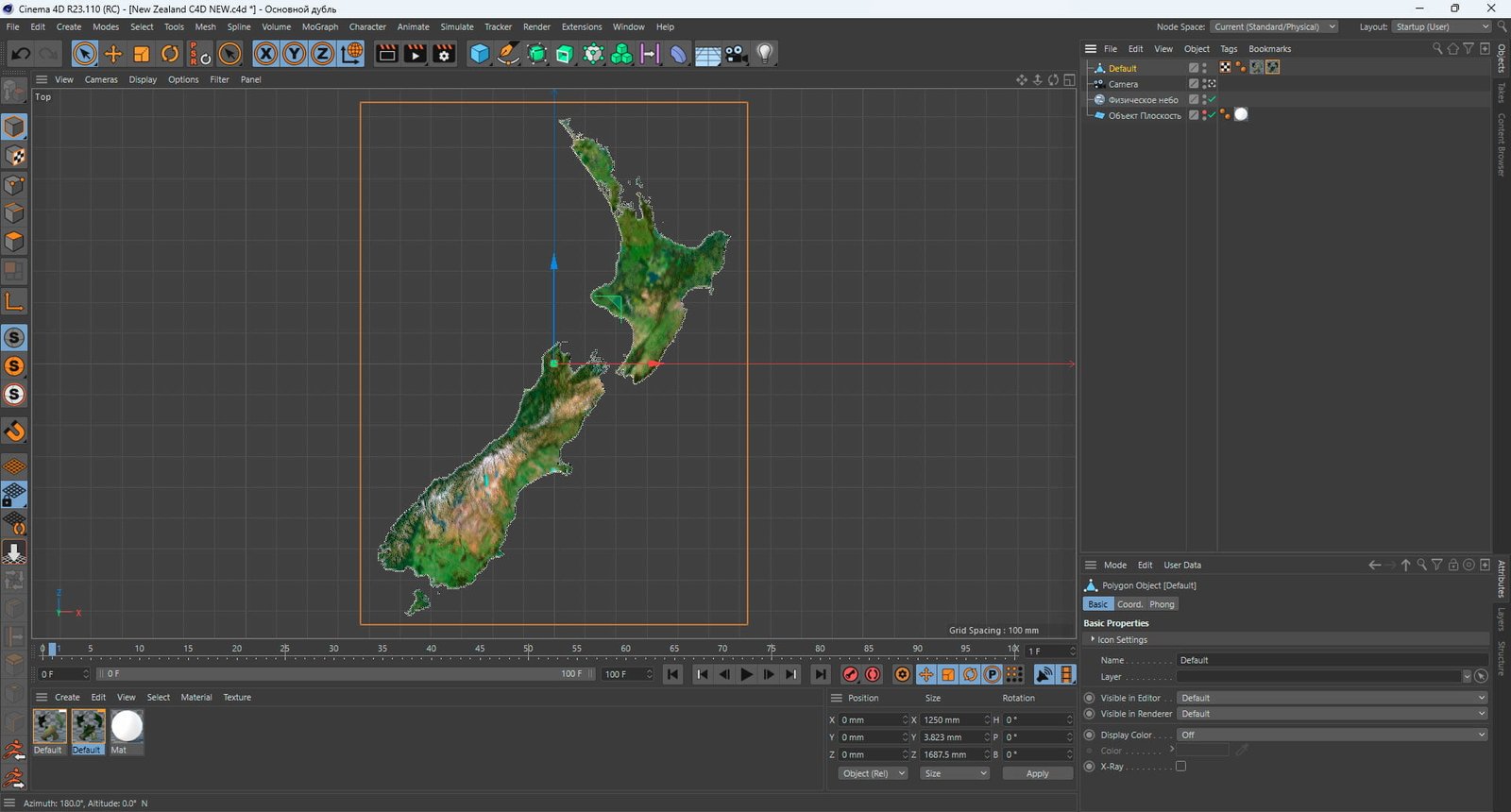
New Zealand Terrain Map 3D Model
$35.00
New Zealand Terrain Map 3D Model for Design and Education
![]()
3D model
- Format: C4D (export to OBJ/FBX on request)
- File size (unzipped): 571 MB
- Polygons: 9 983 512
- Vertices: 4 996 389
- Geometry: Polygonal Tris only
- Model size: 1250 mm x 1687.5 mm x 3.823 mm
- Projection: Mercator
- Base: Open
Textures
- Height Map TIF 6068*8192*16b – You can use this map in the displacement channel instead of the polygonal mesh.
- Normal Map TIF 6068*8192*16b – Use this map to reveal fine details of the relief.
- Satellite Maps TIF 10000*13500*48b.
- Water Mask TIF 10000*13500*48b – Use this map for masking in the Reflection channel to get glare from the water surface.
- Pseudo-color Map 10000*13500*48b – Use this map to get elevation information based on the color shade.
- Boundary Mask TIF 10000*13500*48b – Use this map as a mask for your background.
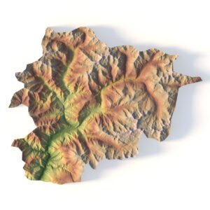
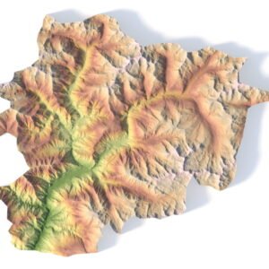
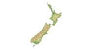
Our terrain map of New Zealand is a highly detailed 3D model perfect for cartographic design, landform representation, and educational projects. Whether you’re a graphic designer, educator, or simply looking for a unique decorative piece, this model provides an accurate topographic visualization of New Zealand’s stunning geography.
Diverse Uses for the New Zealand Terrain 3D Model
This 3D terrain map of New Zealand is highly versatile, supporting multiple applications:
- Graphic Design: Create stunning visuals with detailed geographical features and elevation models.
- Educational Projects: Ideal for teaching geospatial analysis, this 3D model can help students visualize the terrain and learn about New Zealand’s topography.
- Decorative Display: Use the map to craft unique décor pieces that highlight the natural beauty of New Zealand’s landscape.
High-Quality Elevation and Topography Data
This digital terrain model captures New Zealand’s diverse terrain with precise elevation data, making it perfect for terrain visualization and 3D mapping. Its accurate geographical features allow for detailed landscape modeling, whether for educational or creative projects.
Easy Download and Customization
Download the NZ terrain map in 3D format and easily integrate it into your projects. Whether you’re producing visual content or conducting geospatial analysis, the model’s flexibility allows for customized use based on your specific needs.
Why Choose This New Zealand Terrain Map?
- Precision: Accurate elevation data and topographic visualization.
- Versatile Use: Ideal for graphic designers, educators, and creators of landscape models.
- Customizable: Adjust the model to meet the specific requirements of your project, from visual representation to terrain analysis.
In addition to the 3D terrain of the New Zealand, you get a map of heights, a map of normals, satellite textures and other maps.
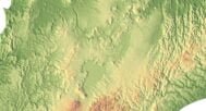
Height Map

You can use this map in the displacement channel instead of the polygonal mesh.
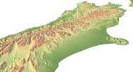
Normal Map

Use this map to reveal fine details of the relief.
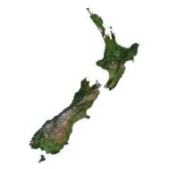
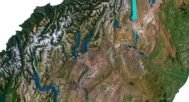
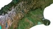
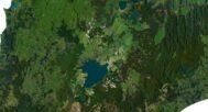
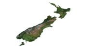
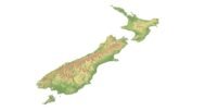
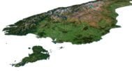
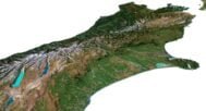
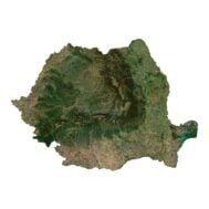
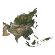
Satellite image

The satellite texture is high resolution in TIF format.
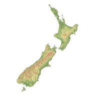
Pseudo-color Map

Use this map to get elevation information based on the color shade.
Water Mask

Use this map for masking in the Reflection channel to get glare from the water surface.
Have a Question?
Do you need Shapefile?
Do you need more resolution satellite images?
Do you need a 3D model in BLEND, OBJ or FBX format?