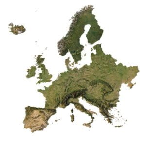
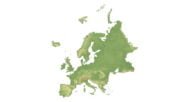

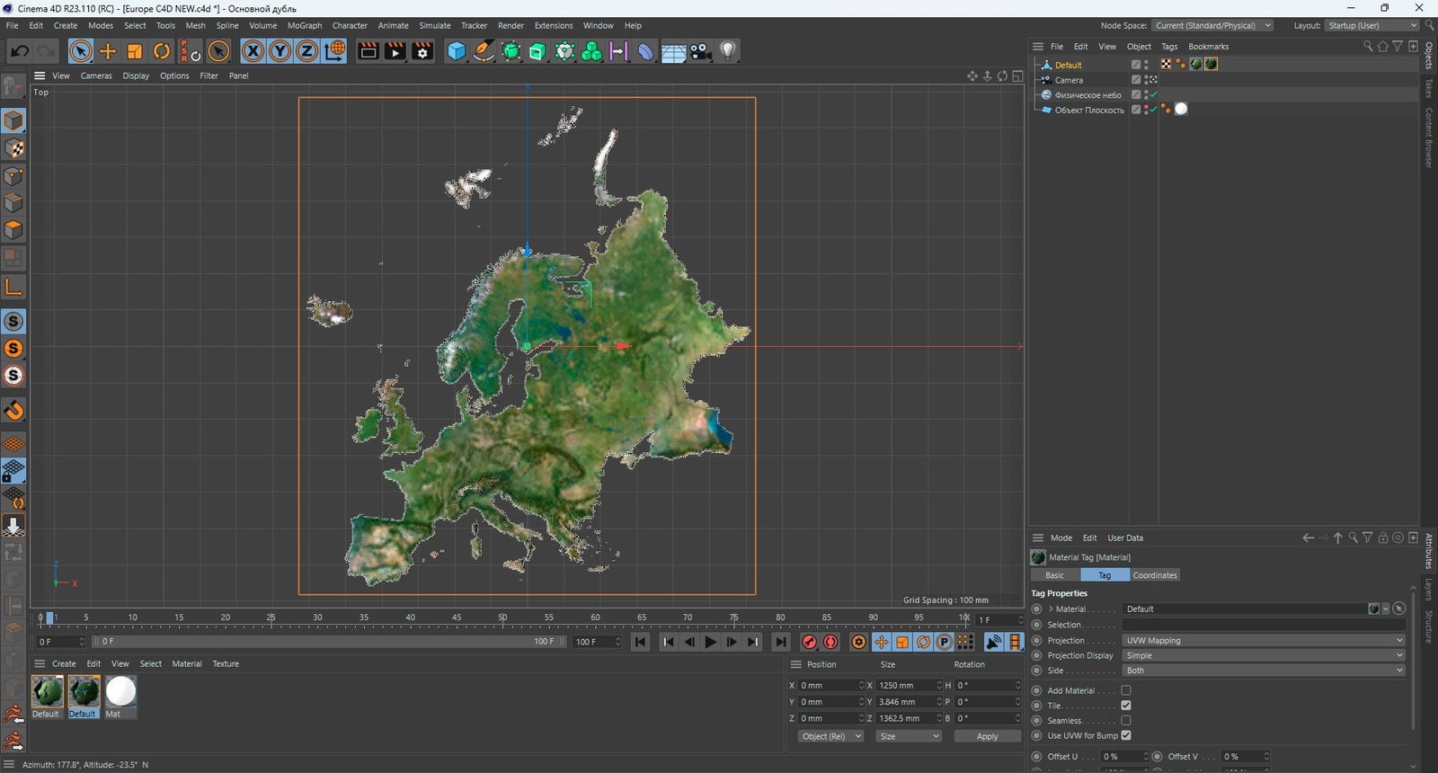
Unlock the power of 3D topography with the Europe Elevation Map 3D Model. Designed for architects, artists, and educators, this detailed model brings Europe’s geographic features to life with remarkable accuracy, enabling a wide range of creative and academic applications.
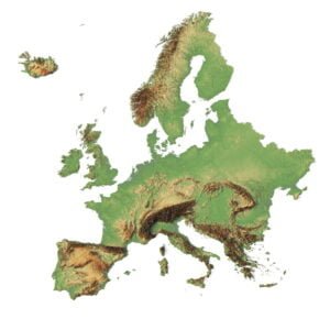
Accurate and Detailed Topography of Europe
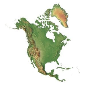
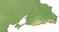
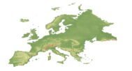
Our Europe Elevation Map is built using the latest elevation data to accurately represent the continent’s terrain. With attention to every contour line, altitude, and geographic feature, this model faithfully reproduces Europe’s landscapes, from its towering highlands to its rolling lowlands.
Realistic Textures and Customizable Terrain
- Realistic Visuals for 3D Projects
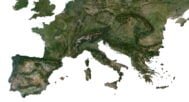
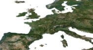
The Europe 3D Model Terrain Map features high-resolution textures that mimic the natural look of Europe’s diverse landscapes. Whether you are creating architectural renderings, terrain mapping, or immersive gaming environments, the textures add a sense of realism to your projects.
- Customization for Artistic Freedom
Modify elevation, adjust geographic features, or combine this model with other 3D assets to create the perfect foundation for your projects. The model provides flexibility, allowing you to adapt the terrain to suit the needs of any artistic or educational project.
- Applications Across Industries
- 3D Modeling and Design
The Europe Elevation Map 3D Model is ideal for 3D modeling in architecture, game design, and visual effects. The detailed topography makes it a perfect foundation for complex designs and artistic renderings.
- Educational and Research Use
This model is an excellent resource for educators and researchers in fields like geography, urban planning, and environmental studies. It offers an interactive way to explore Europe’s landforms, making it an invaluable tool for teaching topography and terrain mapping.
Features of the Europe Elevation Map 3D Model
- Precision Mapping: Accurate elevation data and contour lines represent Europe’s topography with incredible detail.
- Realistic Textures: High-quality textures reflect Europe’s natural landscapes, from highlands to river valleys.
- Customizable Terrain: Adjust the map to your project’s specific needs by modifying elevations and other terrain features.
- Wide Application: Use for architectural modeling, game design, cinematic productions, or educational projects.
- Educational Resource: Perfect for teaching geography, environmental science, and urban planning with an interactive 3D approach.
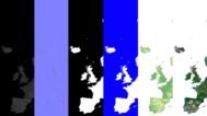
In addition to the 3D terrain of the Europe, you get a map of heights, a map of normals, satellite textures and other maps.
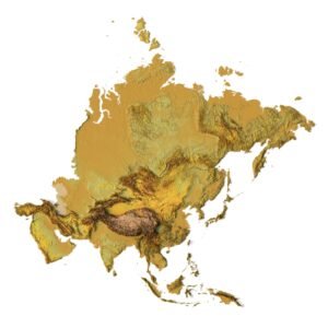
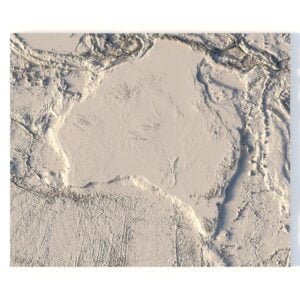
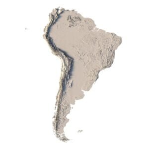
Height Map

You can use this map in the displacement channel instead of the polygonal mesh.
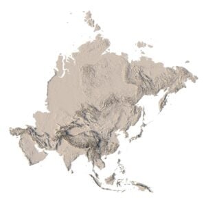
Normal Map

Use this map to reveal fine details of the relief.
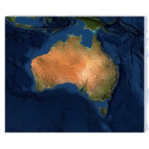
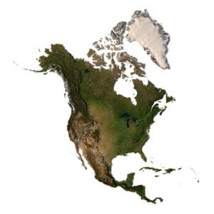
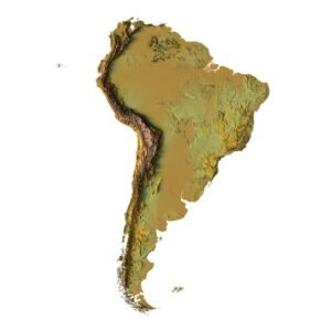
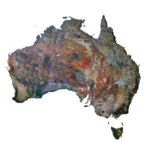
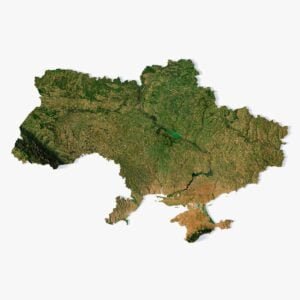
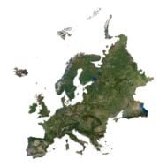
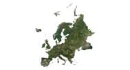
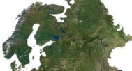
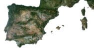
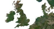
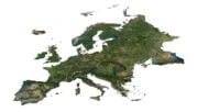
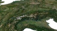
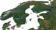
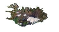
Satellite image

The satellite texture is high resolution in TIF format.
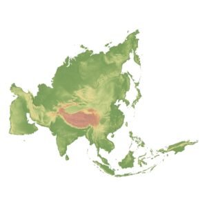
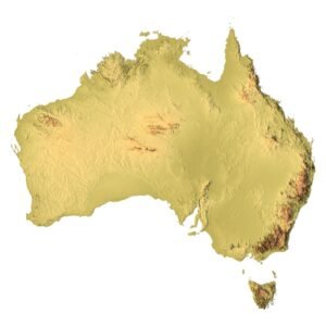
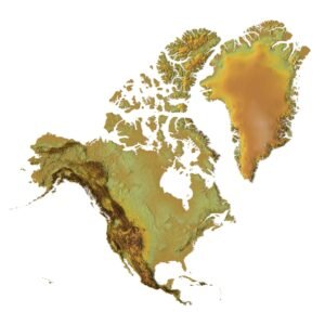
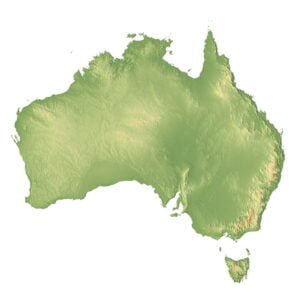
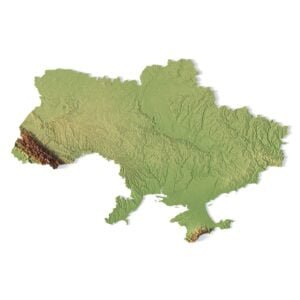
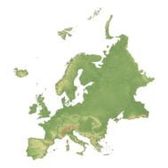
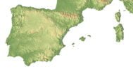
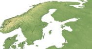
Pseudo-color Map

Use this map to get elevation information based on the color shade.
Water Mask

Use this map for masking in the Reflection channel to get glare from the water surface.
Have a Question?
Do you need Shapefile?
Do you need more resolution satellite images?
Do you need a 3D model in BLEND, OBJ or FBX format?