
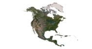


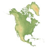
North America Map 3D Model
$35.00
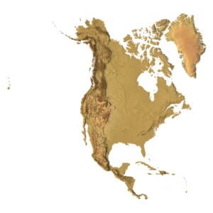
North America 3D Map – Explore the Continent’s Topography in Unmatched Detail
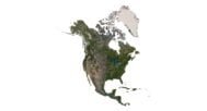
![]()
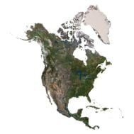
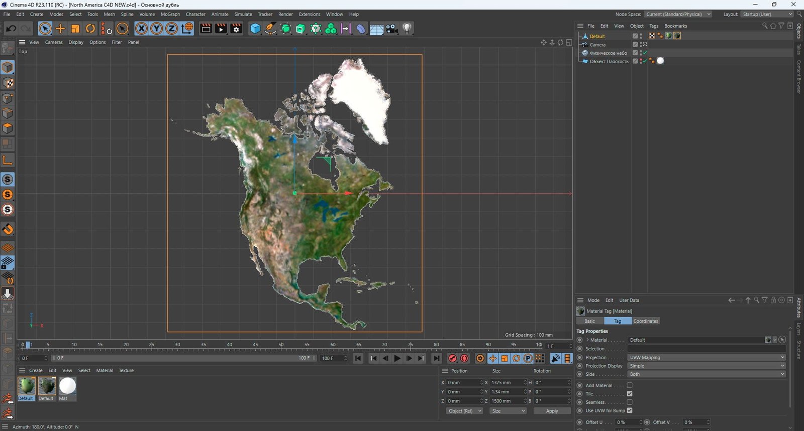
North America 3D Model
- Format: C4D (export to OBJ/FBX on request)
- File size (unzipped): 571 MB
- Polygons: 9 984 852
- Vertices: 4 996 900
- Geometry: Polygonal Tris only
- Model size: 1375 mm x 1500 mm x 1.34 mm
- Projection: Lambert Conformal Conic
- Base: Open
Textures
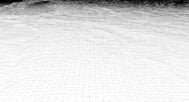
- Height Map TIF 7509*8192*16b – You can use this map in the displacement channel instead of the polygonal mesh.
- Normal Map TIF 7509*8192*48b – Use this map to reveal fine details of the relief.
- Satellite Map TIF 11000*12000*48b
- Water Mask TIF 11000*12000*48b – Use this map for masking in the Reflection channel to get glare from the water surface.
- Pseudo-color Map 11000*12000*48b – Use this map to get elevation information based on the color shade.
- Boundary Mask TIF 11000*12000*48b – Use this map as a mask for your background.
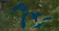
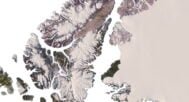
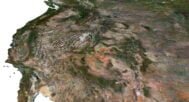
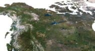
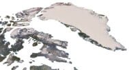
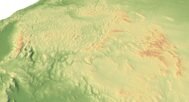
The North America 3D Map offers a highly detailed, topographical representation of the entire continent. This digital model captures the intricate terrain features of North America, including its mountains, rivers, valleys, and lakes. Whether you’re a designer, researcher, or educator, this 3D model provides an accurate and visually compelling tool for various professional and creative applications.
Crafted with Precision and Expertise
This 3D map is a product of advanced digital mapping technology and expert cartography. Using high-resolution satellite imagery, elevation data, and topographical surveys, we have meticulously recreated the natural landscapes of North America. Every mountain peak, river bend, and valley is rendered with unparalleled accuracy, providing a true-to-life geographic visualization.
High-Resolution Imagery for Professional Use
The North America 3D Map features exceptionally high-resolution details, making it ideal for:
- 3D terrain modeling in architectural design and virtual environments
- Artists looking to draw inspiration from realistic landscapes
- Educators seeking an interactive way to teach geography, topography, and the natural world
- Researchers needing precise data for landform analysis and spatial representation
Unlock Creative and Educational Possibilities
With the North America 3D Map, the possibilities are endless:
- 3D designers can seamlessly integrate realistic terrain into their projects.
- Educators can provide students with immersive learning experiences by showcasing North America’s terrain in stunning detail.
- Artists can explore new creative avenues by incorporating the natural beauty of the continent into their work.
- Geographic researchers can perform detailed landform analysis using precise, real-world data.
In addition to the 3D terrain of the North America, you get a map of heights, a map of normals, satellite textures and other maps.
Height Map

You can use this map in the displacement channel instead of the polygonal mesh.
Normal Map

Use this map to reveal fine details of the relief.
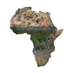
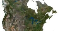
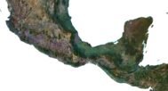
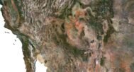
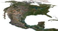
Satellite image

The satellite texture is high resolution in TIF format.
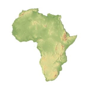
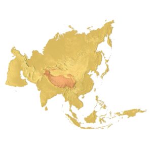
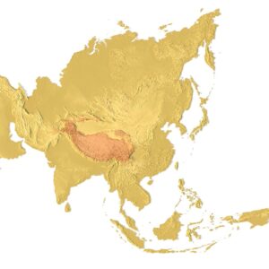
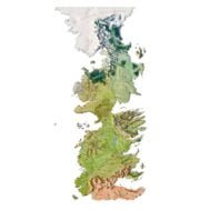
Pseudo-color Map

Use this map to get elevation information based on the color shade.
Water Mask

Use this map for masking in the Reflection channel to get glare from the water surface.
Have a Question?
Do you need Shapefile?
Do you need more resolution satellite images?
Do you need a 3D model in BLEND, OBJ or FBX format?
Related products