
Europe Satellite Map
$10.00
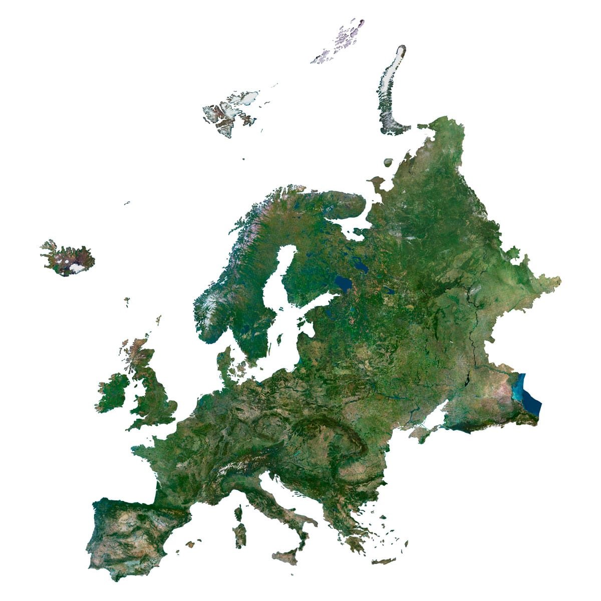
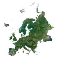
Europe satellite imagery for editorial maps, presentations and print design.
- Format: TIF
- Resolution: 10000*10900 px
- Depth: 48 bit
- Size: 195 MB
- Color scheme: RGB
- Projection: Equidistan Conic
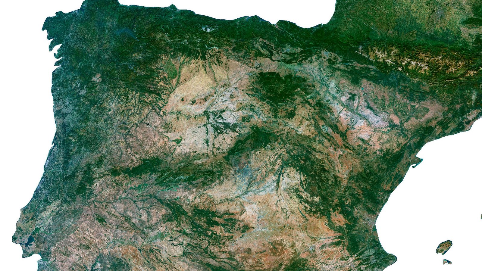
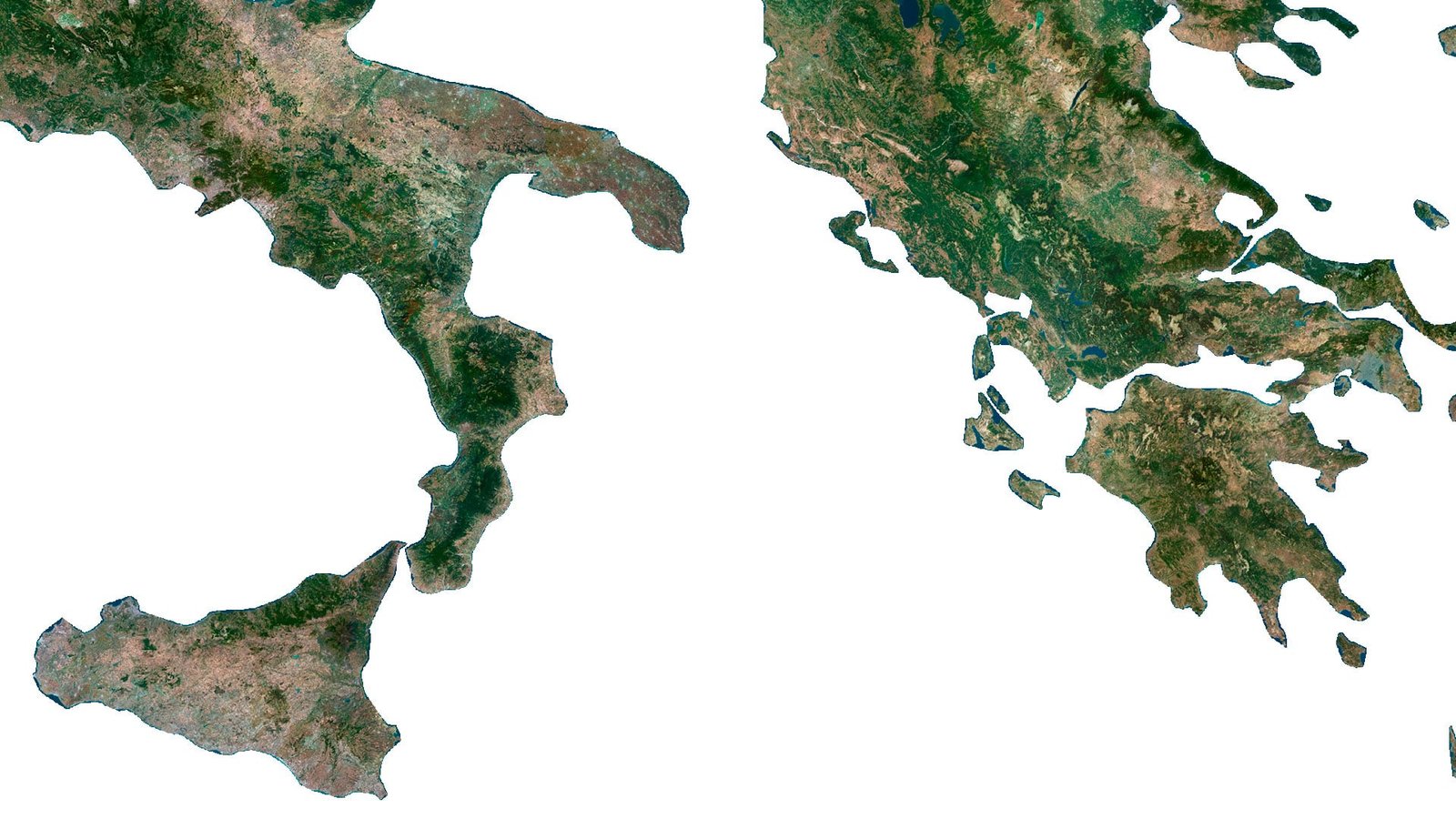
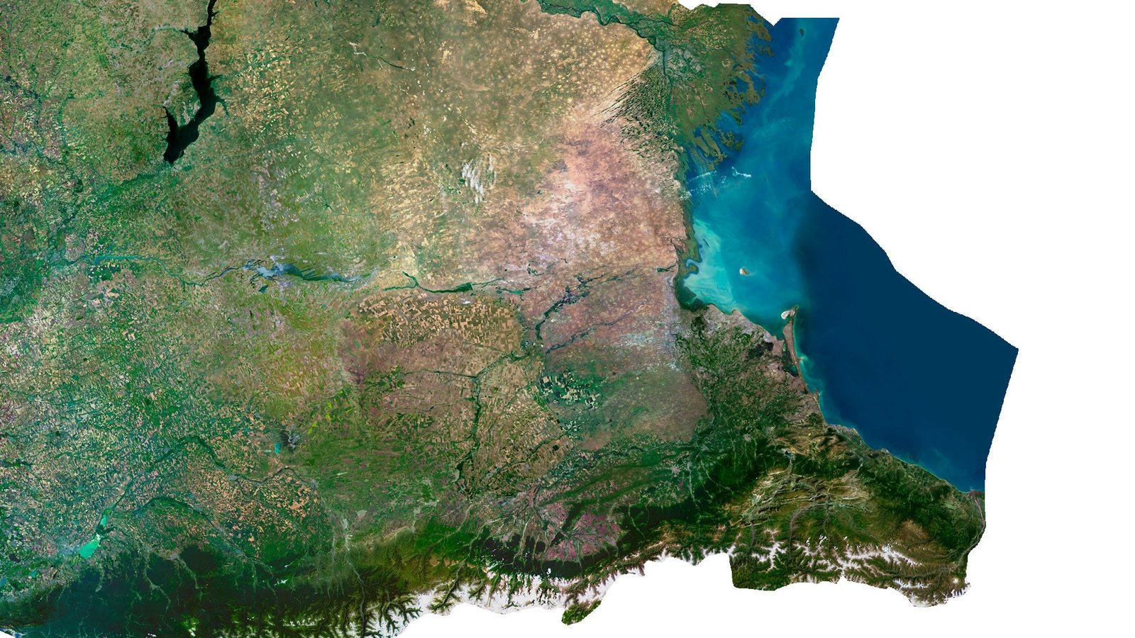
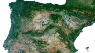
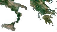
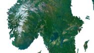
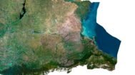
The Europe satellite map isolates the continent and its visible island groups against a white background. Scandinavia extends northward above the mainland, while the British Isles, Iceland and the Mediterranean peninsulas give the silhouette a recognisable structure. Green land areas are broken by lighter mountain and interior regions.
The many coastlines are an important part of the composition: the Baltic setting, the Iberian Peninsula, Italy and the Balkan region create a sequence of distinct shapes. Surrounding water is left open rather than forming a solid ocean background, making the geographic connections between mainland and islands easy to follow.
Use it for European regional presentations, editorial spreads and geographic display graphics. The isolated composition is useful when a design needs a single European overview that can sit clearly alongside captions, country-level images or a broader narrative about the continent.
FAQ
This map is not geo-referenced, but feel free to contact us to obtain a file with geo data if needed.
Yes, we offer custom projections upon request. Contact us for details.
Yes, if you need the map in a different file format, please contact us. We offer various formats to meet your needs.
Yes, of course. Please specify the desired 3D model format, dimensions and how you will use it. This will help me to prepare an optimal model for you.
Absolutely! If you require a higher resolution version, just let us know, and we can provide a version that fits your requirements.
Yes, we can customize the map with different projections or remove boundaries as needed. Please reach out to us with your specifications, and we’ll accommodate your request.
For custom sizes or additional features, please contact us directly. We are happy to work with you to create a tailored map that fits your specific needs.
Absolutely! The map is available in high resolution, making it suitable for large format printing without losing detail. Be sure to check with your printing company if they require RGB-to-CMYK color conversion for best results.
In addition to educational and decorative uses, the map can be utilized for trip planning, natural resource research, and as a creative gift.
Related products