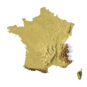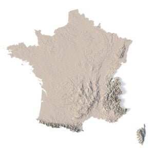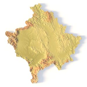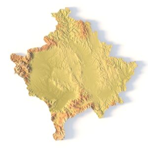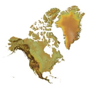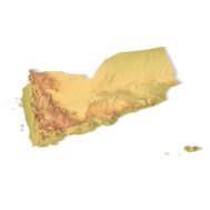
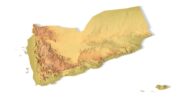
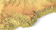
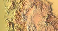
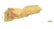
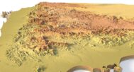
The Yemen Topographic Map is a high-resolution 3D terrain model based on an accurate digital elevation model (DEM). It faithfully represents the rugged mountains, vast deserts, and coastal plains of Yemen, making it an excellent choice for designers, educators, cartographers, and geography enthusiasts.
This STL file is fully compatible with FDM and SLA 3D printers, as well as CNC routers. You can 3D print a realistic map of Yemen in plastic or carve it from wood or metal. It’s ideal for educational models, souvenir production, landscape projects, and terrain visualization.
This topographic model can serve as a striking element in a design studio, classroom, or architectural presentation. With precise elevation modeling and high visual fidelity, it inspires creative use and brings Yemen’s landscapes to life.


Why choose this model?
✔ Realistic Topography Based on Geospatial Data – Built from a digital elevation model (DEM) for real-world accuracy.
✔ Ready for 3D Printing & CNC Machining – Clean STL file optimized for printing in PLA, resin, wood, aluminum, and more.
✔ Designed for Education, Design & Creativity – Perfect for geography classes, architecture layouts, art pieces, and souvenirs.
Sample Use Cases:
-
3D print a raised-relief map of Yemen for geography lessons
-
CNC carve Yemen’s mountains into wood or metal for educational displays
-
Create an elevation-aware terrain layout for architectural planning
-
Produce Yemen-themed wall art or display models
-
Design unique gifts and geographic jewelry
FAQ
The description includes scaling factors for each axis. For example, if you see X – 0.001, Y – 0.001, Z – 0.003, this means the height is three times greater than the width and length. We scale height this way to emphasize the relief.
If you need uniform proportions, let us know—we’ll prepare a custom model upon request.
Send us your required specifications, and we’ll adapt the model accordingly.
Yes, we check every model for integrity and errors.
Yes. For better surface quality, we recommend printing it vertically.
Larger models require more polygons to preserve relief detail. Provide your desired dimensions, and we’ll prepare:
-
A single optimized model or
-
A segmented version with high resolution.
Yes, but polygon reduction may be necessary. Submit a request with your project’s dimensions for a tailored solution.