 Solar System


 World
World


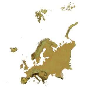
 Continents


 Peninsulas
 Islands
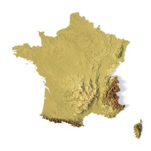
 Countries
 States of America


 Canadian Provinces


 Parks & Canyons
 Other
Other


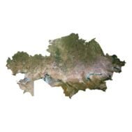
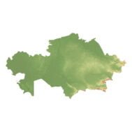
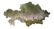
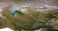

Introducing the Kazakhstan 3D Model Terrain Map – Your Gateway to Captivating 3D Design and Artistry!
Unleash your creativity and elevate your projects to new heights with our meticulously crafted Kazakhstan 3D Model Terrain Map. Whether you’re a seasoned 3D designer or an aspiring artist, this digital asset promises to be an invaluable addition to your toolkit.
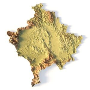
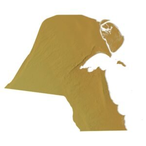
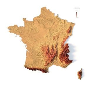
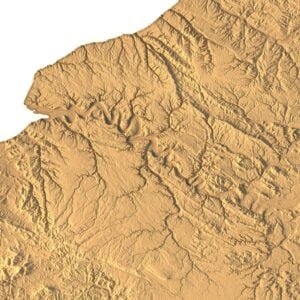
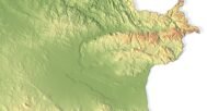
Precision and Detail: Our Kazakhstan 3D Model Terrain Map is the result of extensive data collection and cutting-edge technology. Every contour, elevation change, and geographic feature has been faithfully reproduced in stunning detail, ensuring an accurate representation of Kazakhstan’s breathtaking landscapes.
Realistic Textures: Our terrain map includes high-resolution textures that mimic the actual look and feel of Kazakhstan’s diverse landscapes. From rolling hills to river valleys, your creations will exude authenticity and realism.
Limitless Possibilities: Unleash your creativity across a spectrum of applications. Use this terrain model as a foundation for architectural renderings, immersive gaming environments, cinematic productions, or any 3D artwork. The possibilities are as boundless as your imagination.
Customization: Tailor the terrain to your specific needs. Adjust elevations, modify terrain features, or blend it seamlessly with other 3D assets to achieve your artistic vision with precision.
Educational Value: Perfect for educational institutions, our Kazakhstan 3D Model Terrain Map can be an invaluable tool for geography lessons, environmental studies, and urban planning projects. It offers an immersive learning experience that brings geography to life.

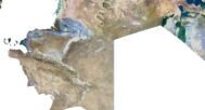
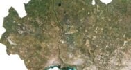
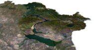
In addition to the 3D terrain of the Kazakhstan, you get a map of heights, a map of normals, satellite textures and other maps.
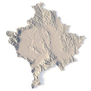
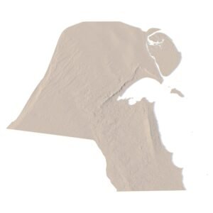
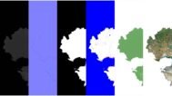
Height Map

You can use this map in the displacement channel instead of the polygonal mesh.
Normal Map

Use this map to reveal fine details of the relief.
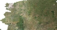
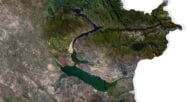
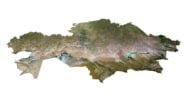
Satellite image

The satellite texture is high resolution in TIF format.
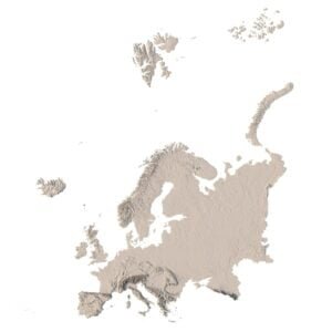
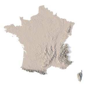
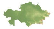
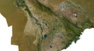
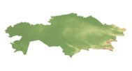
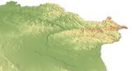
Pseudo-color Map

Use this map to get elevation information based on the color shade.
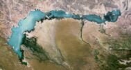
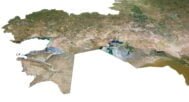
Water Mask

Use this map for masking in the Reflection channel to get glare from the water surface.
Have a Question?
Do you need Shapefile?
Do you need more resolution satellite images?
Do you need a 3D model in BLEND, OBJ or FBX format?