 Solar System


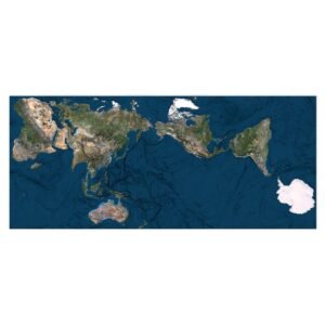
 World
World


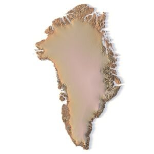
 Continents


 Peninsulas
 Islands
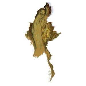
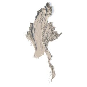
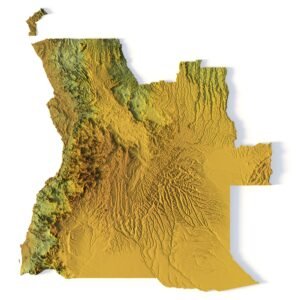
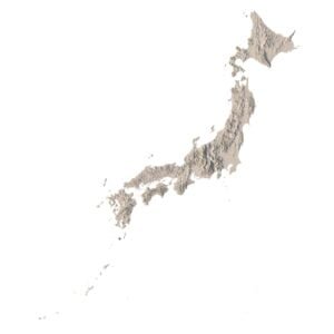
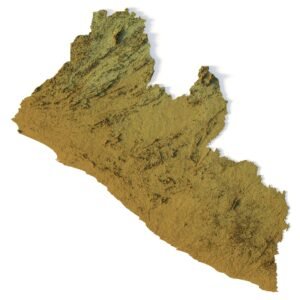
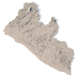
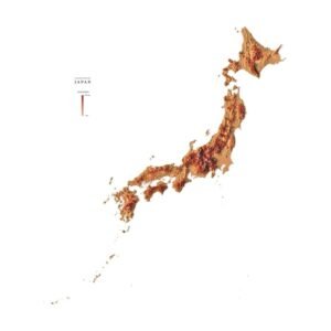
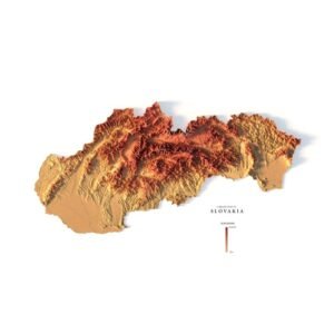
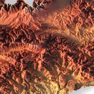
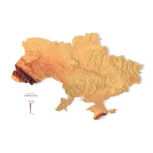
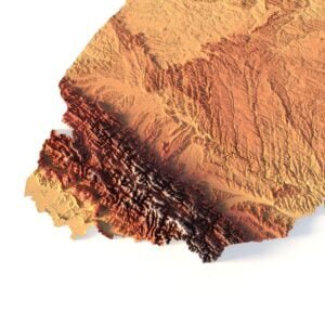
 Countries
 States of America


 Canadian Provinces


 Parks & Canyons
 Other
Other


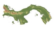


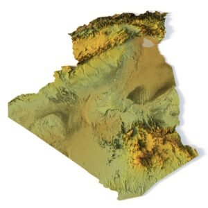
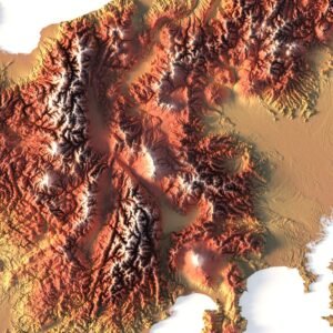
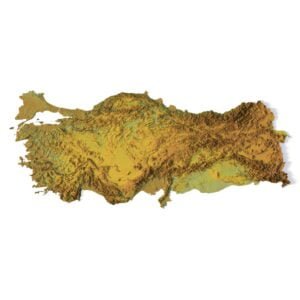
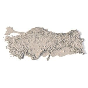
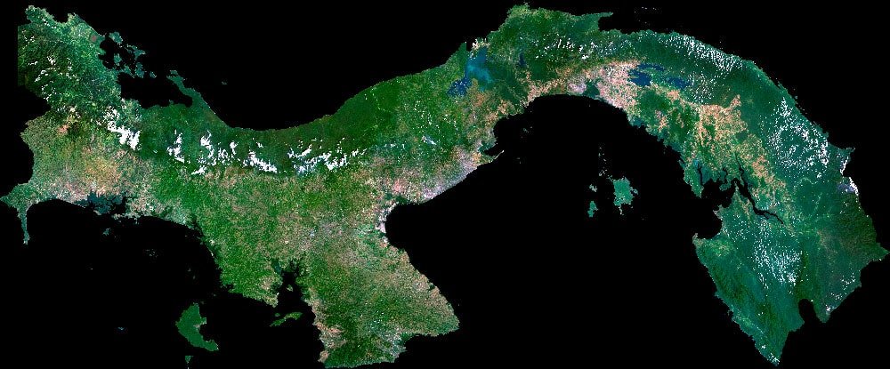
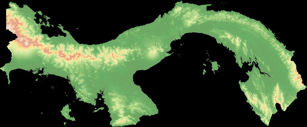
Panama Topographic Map – 3D Model for Realistic Terrain Mapping
Bring Panama’s dynamic landscape to life with this detailed 3D topographic map – ideal for rendering, animation, and geospatial analysis. Designed for professionals, educators, and creators, this digital model offers high accuracy and artistic versatility.
Discover the Elevation and Relief of Panama
Whether you’re working on an educational project or a creative render, this Panama elevation map provides a stunning representation of the country’s geographic features. From the Panama Canal topography to the mountainous spine and coastal lowlands, every landform is captured with precision.
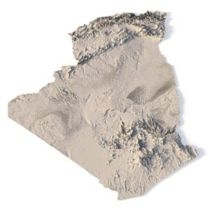
Key Features of the Panama Terrain Map 3D Model
-
✅ Highly accurate relief model with detailed contour lines
-
✅ Realistic terrain mapping suitable for professional renders
-
✅ Based on up-to-date mapping technology and elevation data
-
✅ Covers all major landforms, including the Panama Canal
-
✅ Ready for use in Blender, Unity, Unreal, or any 3D software
Ideal for Multiple Applications
This Panama topo map 3D model is perfect for:
-
🎓 Educational presentations
-
🌍 Geographic and environmental studies
-
🎥 Animation and game design
-
🛰️ Geospatial analysis and simulations

Why Choose This 3D Topographic Map of Panama?
Unlike flat maps, this digital model offers immersive terrain exploration, enhancing how we visualize and understand Panama’s unique geography. From elevation-based color gradients to photorealistic textures, you’ll get the depth and detail your project needs.
Elevate Your Project with Realistic Terrain
Panama’s natural beauty deserves more than a flat map. Use this 3D elevation model to highlight the richness of its topography in every frame.
🧠 Ideal For
📚 Educational & Scientific Applications
Enhance geography lessons or environmental studies with an interactive map that students can explore in 3D.
🕹️ Game Development
Use the digital mapping asset in open-world exploration games or strategy simulators.
🏗️ Architectural & Creative Projects
Inspire stunning cartographic designs and landscape visualizations with this flexible, easy-to-integrate terrain model.
River and lake map

Normal Map

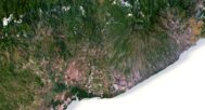
Satellite Map
Pseudo-color map
Have a Question?
Do you need Shapefile?
Do you need more resolution satellite images?
Do you need a 3D model in BLEND, OBJ or FBX format?