 Solar System


 World
World


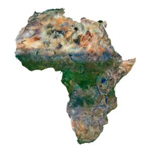
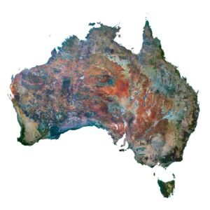
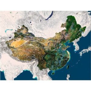
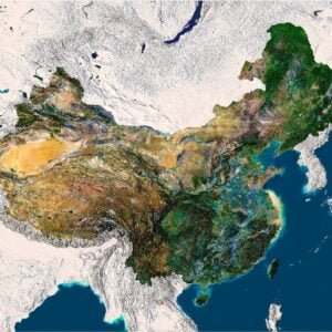
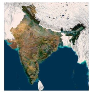
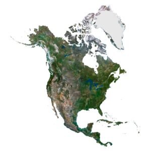
 Continents


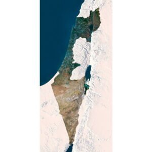
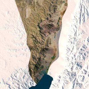
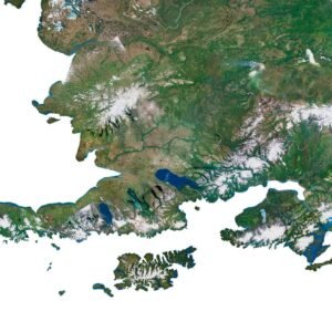
 Peninsulas
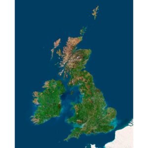
 Islands
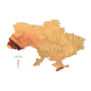
 Countries
 States of America


 Canadian Provinces


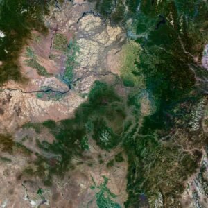
 Parks & Canyons
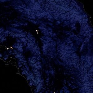
 Other
Other


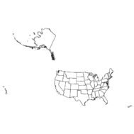
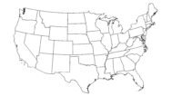
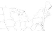
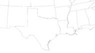
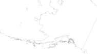
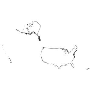
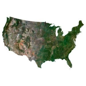
Outline Map of USA with States is a high-quality map providing a detailed and accurate representation of the United States, including precise boundaries for each state. Available in both vector and raster formats, this map is perfect for cartography, educational use, geographic research, and various design projects.
What is an Outline Map?
An Outline Map is a simplified representation of a geographic area, showing only the main features such as boundaries and coastlines without additional details like topography or road networks. These maps are widely used for educational purposes, geographic analysis, and as a base for more detailed mapping projects.
Use Cases:
- Cartography: Outline maps serve as a base layer for creating detailed maps by adding custom data and features.
- Education: Teachers and students can use outline maps to learn about geography, state boundaries, and the spatial relationships between different regions.
- Geographic Research: Researchers can use these maps to analyze spatial patterns, study regional divisions, and plan fieldwork.
- Design Projects: Designers can incorporate outline maps into their projects for visualizations, presentations, and infographics.
- Business Planning: Companies can use these maps for market analysis, territory planning, and logistical purposes.
Features:
- High-Quality Vector Format: The vector version of the Outline Map of USA with States ensures scalability and precision, allowing for easy customization and editing.
- Detailed Raster Format: The raster version provides a high-resolution image that is perfect for printing and digital presentations.
- Accurate State Boundaries: Detailed and precise boundaries for each state, making it easy to identify and distinguish different regions.
- Customizable: Both formats can be easily customized and edited to fit specific needs and requirements.
- Extensive Coverage: Covers the entire United States, including all 50 states and major geographical features.
Benefits:
- Versatile Application: Suitable for a wide range of uses, from educational purposes to professional cartographic projects.
- Ease of Use: The vector format allows for easy integration into various software tools and applications, facilitating further customization and analysis. The raster format is ideal for high-quality prints and quick reference.
- Clear Visualization: Provides a clear and simplified representation of the United States, making it ideal for presentations, teaching, and analysis.
By purchasing the Outline Map of USA with States on shustrik-maps.com, you are acquiring versatile and high-quality tools for geographic visualization and analysis. These maps will greatly enhance your projects with their precise boundaries and customizable formats, ensuring reliable and accurate results.