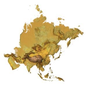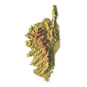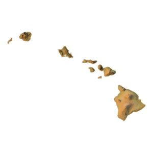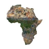
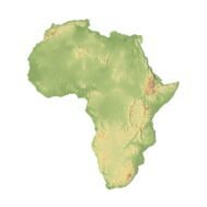
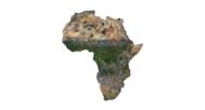
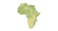
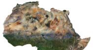
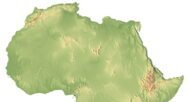

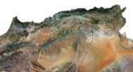
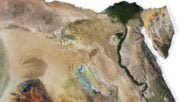
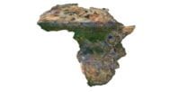
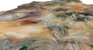

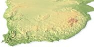

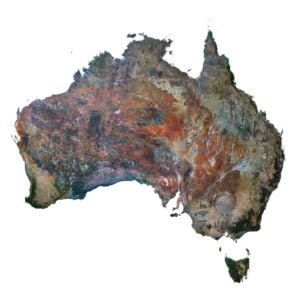
The Africa 3D Map Model is an intricately detailed digital representation of the continent’s topographical features, perfect for 3D graphic design, architectural visualization, and artistic projects. This model includes Africa’s mountains, valleys, rivers, and lakes, offering a comprehensive visual of the continent’s natural terrain. Its high-resolution format ensures that even the smallest details are accurately depicted.
What is the Africa 3D Map Model?
The Africa 3D Map Model is created using precise satellite imagery and topographical surveys, processed to form a realistic and accurate 3D geography of Africa. This model delivers fine elevation data and captures intricate details like landforms, water bodies, and natural reliefs. It’s ideal for professionals working on terrain visualization, geographic modeling, or relief mapping.
Features of the Africa 3D Map Model
- High Resolution: Allows for a clear and accurate display of terrain features.
- Topographical Accuracy: Incorporates real-world elevation data, ensuring the model’s precision.
- Complete Terrain Visualization: Captures Africa’s vast landscape, from high mountain ranges to low-lying valleys.
- Versatile Applications: Suitable for graphic design, architecture, education, and artistic rendering.
Applications of the Africa 3D Map Model
- 3D Graphic Design: Enhance visual projects with accurate terrain data.
- Relief Mapping: Display Africa’s landforms for geographical research and visualization.
- Geospatial Representation: Use the model to analyze and present complex terrain data.
- Educational Purposes: Teach geography and topography with a visually engaging, 3D geography tool.
- Artistic Projects: Create unique art pieces and visualizations using the detailed landscape model.

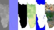
In addition to the 3D terrain of the Africa, you get a map of heights, a map of normals, satellite textures and other maps.
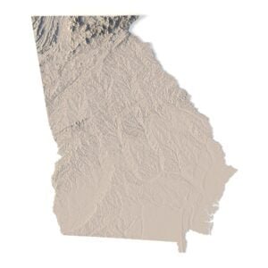
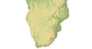
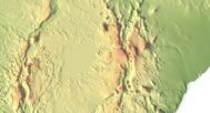
Height Map

You can use this map in the displacement channel instead of the polygonal mesh.
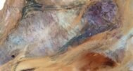
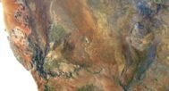
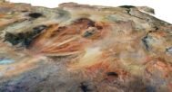
Normal Map

Use this map to reveal fine details of the relief.
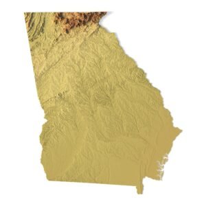
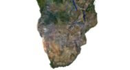
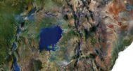
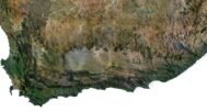
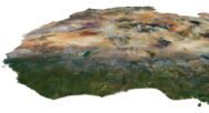
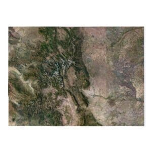
Satellite image

The satellite texture is high resolution in TIF format.
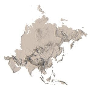
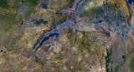
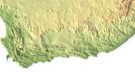
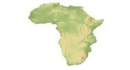
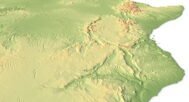
Pseudo-color Map

Use this map to get elevation information based on the color shade.
Water Mask

Use this map for masking in the Reflection channel to get glare from the water surface.
Have a Question?
Do you need Shapefile?
Do you need more resolution satellite images?
Do you need a 3D model in BLEND, OBJ or FBX format?