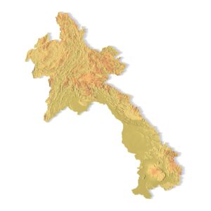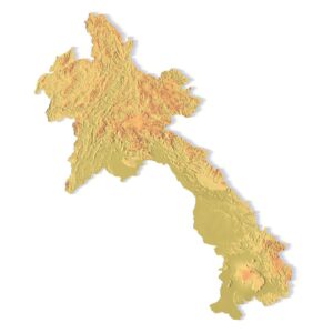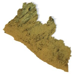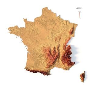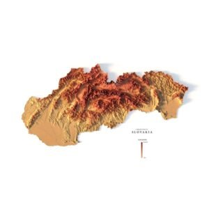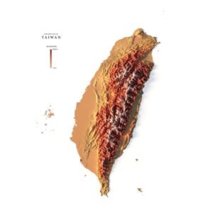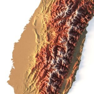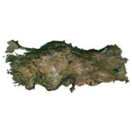
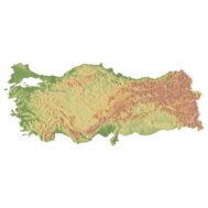
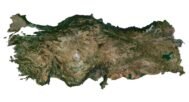


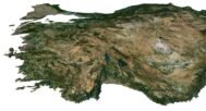
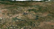
Dive into the vibrant tapestry of Turkey with our Turkey 3D Model, meticulously crafted for 3D design and art enthusiasts. This digital masterpiece offers an immersive experience, allowing you to explore every contour of Turkey’s diverse landscapes, from the majestic Himalayas to the serene beaches of Goa. Whether you’re a seasoned designer, a student, or an artist seeking inspiration, this high-quality 3D model opens the door to a world of creative possibilities.
Key Features:
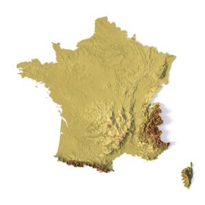
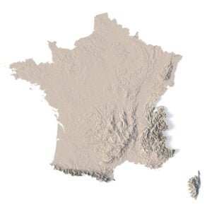
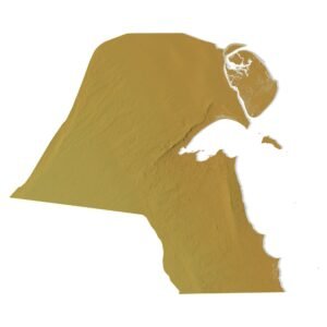
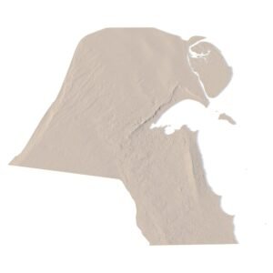
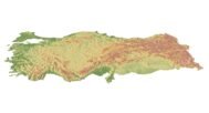
- Geographical Precision: Built on accurate geographical data, our Turkey 3D Model intricately captures the nation’s varied topography, from mountains and plateaus to plains and coastlines, ensuring a faithful representation of Turkey’s natural beauty.
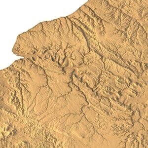
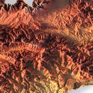
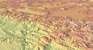
- High-Definition Detail: Immerse yourself in the intricate details of Turkey’s terrain. This high-definition 3D model showcases the country’s diverse features, allowing for detailed and lifelike visualizations in your projects.
- Fully Customizable: Tailor the map to your specific needs. Adjust the scale, add or remove details, and personalize the landscape according to your project requirements, whether it’s for educational purposes, gaming environments, or artistic endeavors.
- Educational Tool: Perfect for educational purposes, this 3D model serves as an invaluable resource for geography classes, historical studies, and cultural projects, allowing students and educators to explore and understand Turkey’s geography in an interactive way.
- Artistic Inspiration: Ignite your artistic vision by using the Turkey 3D Model as a canvas for your creations. Whether you’re crafting digital art, animations, or multimedia installations, Turkey’s diverse landscapes provide endless inspiration for your artistic expressions.
- Realistic Rendering: Achieve unparalleled realism in your 3D designs. The intricate details of this model make it a valuable asset for architects, urban planners, and designers looking to incorporate an authentic representation of Turkey’s geography into their projects.

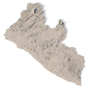
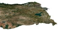
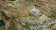
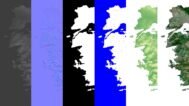
In addition to the 3D terrain of the Turkey, you get a map of heights, a map of normals, satellite textures and other maps.
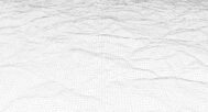
Height Map

You can use this map in the displacement channel instead of the polygonal mesh.
Normal Map

Use this map to reveal fine details of the relief.
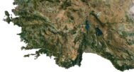
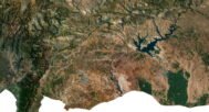
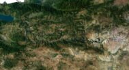
Satellite image

The satellite texture is high resolution in TIF format.
Pseudo-color Map

Use this map to get elevation information based on the color shade.
Water Mask

Use this map for masking in the Reflection channel to get glare from the water surface.
Have a Question?
Do you need Shapefile?
Do you need more resolution satellite images?
Do you need a 3D model in BLEND, OBJ or FBX format?