 Solar System


 World
World


 Continents


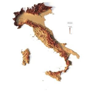
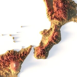
 Peninsulas
 Islands
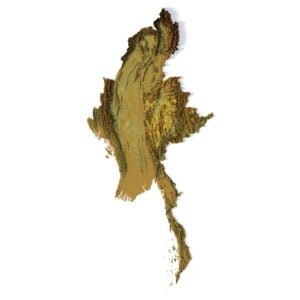
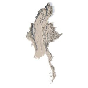
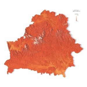
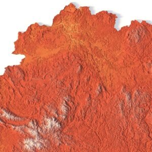
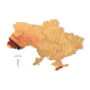
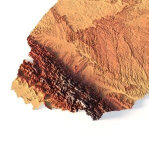
 Countries
 States of America


 Canadian Provinces


 Parks & Canyons
 Other
Other


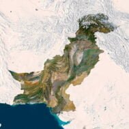
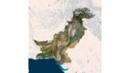
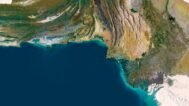
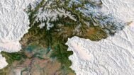
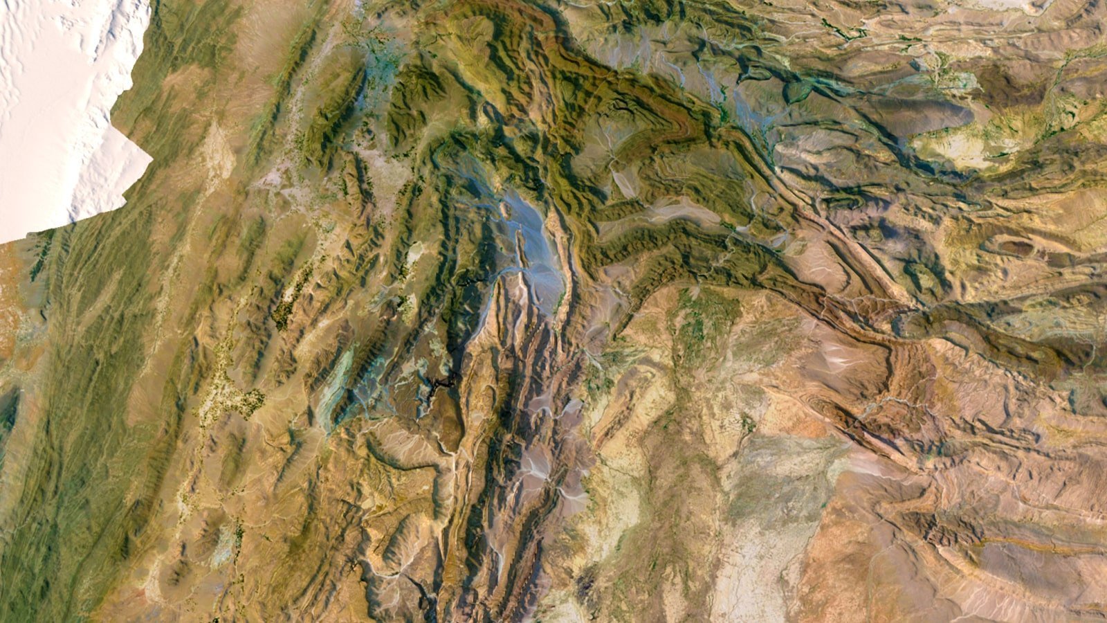
Embark on a captivating visual journey through the diverse landscapes of Pakistan with our meticulously crafted 3D map. Tailored for travel enthusiasts, educators, and geography aficionados, this 3D map promises an immersive adventure through the enchanting terrains of Pakistan.
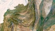
- Intricate Detailing, Captivating Realism Immerse yourself in the intricacies of Pakistan’s topography. Our 3D map intricately captures the majestic peaks of the Himalayas in the north, the vast Thar Desert in the east, and the lush green valleys of Punjab. Every mountain, desert dune, and riverbank is brought to life, ensuring a truly captivating experience.
- Geographical Precision with Artistic Finesse Meticulously crafted from precise geographical data, our 3D map marries accuracy with artistry. The rivers flow naturally, and the mountains rise with grace, adding depth and charm. This harmonious blend of precision and creativity transforms the map into a visual masterpiece, worthy of any display.
- An Educational Marvel: Where Learning Comes to Life Beyond its aesthetic appeal, this 3D map is a priceless educational tool. Perfect for classrooms, it aids both educators and students in comprehending the geographical marvels of Pakistan. Watch as lessons come to life, inspiring curiosity and understanding.

Ideal for Every Explorer: Wherever Your Passion Lies Whether you’re planning your next adventure across Pakistan, teaching geography to curious minds, or adorning your living space with a touch of Pakistan’s charm, our 3D map is your gateway to the country’s wonders.
For the Classroom: Inspire Curiosity, Foster Knowledge Transform your classroom into an interactive hub of learning. Enhance geography lessons, captivate young minds, and instill a love for exploration with our 3D map.
For Travel Enthusiasts: Plan Your Next Adventure Chart your course across Pakistan’s diverse landscapes. Plan your travels with precision, exploring every corner of this culturally rich nation before you even set foot outside your door.
For Home Decor: Infuse Your Space with Pakistani Charm Add a touch of elegance to your living space. Whether it’s your living room, study, or office, let Pakistan’s beauty grace your walls, sparking conversations and igniting imaginations.
Experience Pakistan Like Never Before: Your Passport to Pakistani Beauty Indulge your senses, expand your knowledge, and let your imagination roam freely across Pakistan’s breathtaking landscapes. Purchase your 3D map now and let the adventure begin.
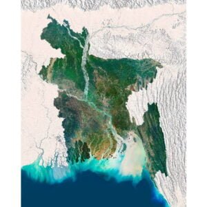
Bangladesh 3D Map at 100% zoom (Click to zoom in)