 Solar System


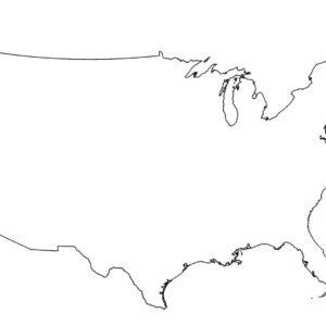
 World
World


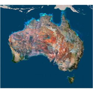
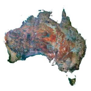
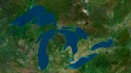
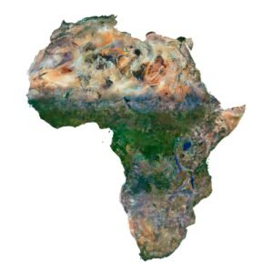
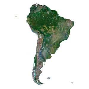
 Continents


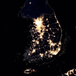
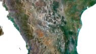
 Peninsulas
 Islands
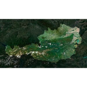
 Countries
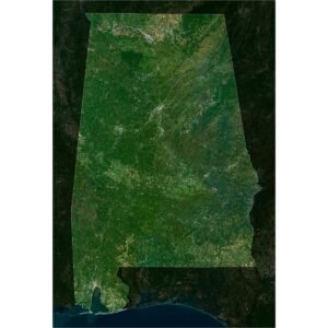
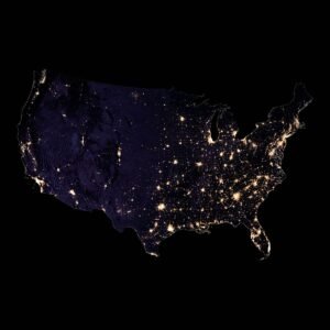
 States of America


 Canadian Provinces


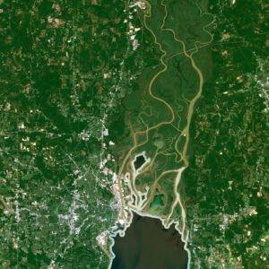
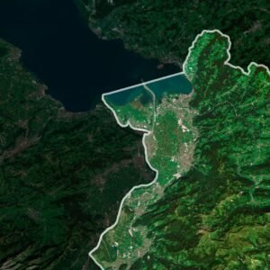
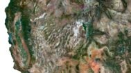
 Parks & Canyons
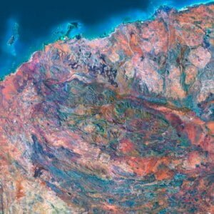
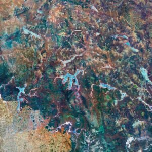
 Other
Other


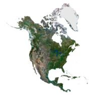

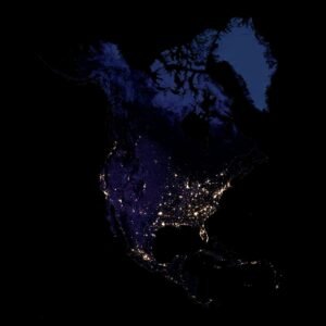
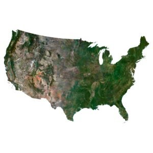
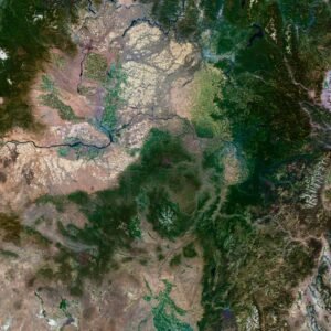
North America Satellite Map is a high-resolution satellite imagery map providing a detailed and accurate view of North America’s diverse landscape. This map is perfect for various applications, including 3D modeling, cartography, geographic research, environmental studies, and decor.
What is a Satellite Map?
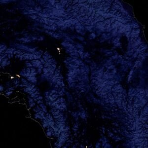
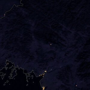
A Satellite Map is a detailed representation of the Earth’s surface captured by satellites. These maps provide high-resolution images that display the natural and man-made features of the terrain. Satellite maps are widely used for environmental monitoring, urban planning, disaster management, geographic analysis, and even decor.
Use Cases:
- 3D Modeling: Satellite maps are essential for creating realistic 3D models of the terrain, useful in architecture, simulation, and virtual reality.
- Cartography: These maps help in producing accurate and detailed maps for navigation, urban planning, and land use analysis.
- Geographic Research: Researchers can analyze land cover, vegetation, water bodies, and other geographic features.
- Environmental Studies: Environmental scientists use satellite imagery for monitoring changes in the environment, assessing natural disasters, and managing resources.
- Urban Planning: Planners and developers can use satellite maps to design and manage urban infrastructure effectively.
- Decor: Printed on a plotter, the high-resolution satellite map of North America can be used as stunning wall art, adding a touch of sophistication and geographical interest to any space.
Features:
- High Resolution: The North America Satellite Map offers high-resolution imagery, ensuring clear and detailed visualization.
- Up-to-Date: The map provides the latest satellite images, reflecting current land conditions.
- Extensive Coverage: Covers the entire continent of North America, including cities, rural areas, forests, and bodies of water.
- Decorative Use: The detailed and visually appealing imagery makes it perfect for printing and using as decor.
Benefits:
- Accurate Visualization: High-quality images provide a clear and precise view of the terrain, aiding in detailed analysis and planning.
- Versatile Applications: Suitable for a wide range of professional uses, from research to practical applications in various industries, and even home or office decor.
- User-Friendly: The map is compatible with various software tools, making it easy to integrate and use for further analysis and presentation.
- Aesthetic Appeal: The high-resolution satellite map can be printed on a plotter to create beautiful and informative wall art.
By purchasing the North America Satellite Map on shustrik-maps.com, you are acquiring a valuable tool for geographic visualization, analysis, and decor. This map will greatly enhance your projects with its high resolution and detailed imagery, ensuring reliable and accurate results, while also providing a stunning visual element for any space.
FAQ
This map is not geo-referenced, but feel free to contact us to obtain a file with geo data if needed.
Yes, we offer custom projections upon request. Contact us for details.
Yes, if you need the map in a different file format, please contact us. We offer various formats to meet your needs.
Yes, of course. Please specify the desired 3D model format, dimensions and how you will use it. This will help me to prepare an optimal model for you.
Absolutely! If you require a higher resolution version, just let us know, and we can provide a version that fits your requirements.
Yes, we can customize the map with different projections or remove boundaries as needed. Please reach out to us with your specifications, and we’ll accommodate your request.
For custom sizes or additional features, please contact us directly. We are happy to work with you to create a tailored map that fits your specific needs.
Absolutely! The map is available in high resolution, making it suitable for large format printing without losing detail. Be sure to check with your printing company if they require RGB-to-CMYK color conversion for best results.
In addition to educational and decorative uses, the map can be utilized for trip planning, natural resource research, and as a creative gift.