 Solar System


 World
World


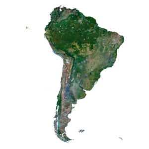
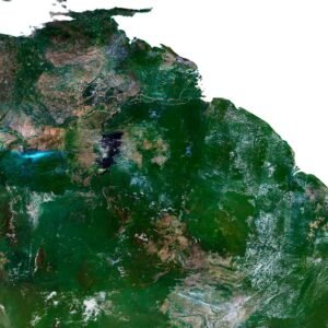
 Continents


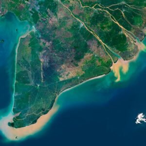
 Peninsulas
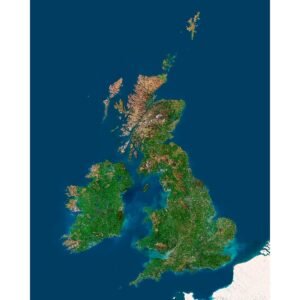
 Islands
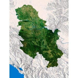
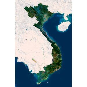
 Countries
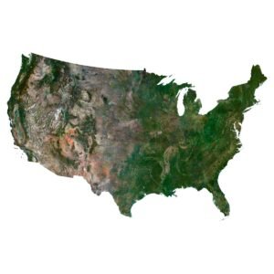
 States of America


 Canadian Provinces


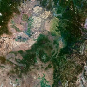
 Parks & Canyons
 Other
Other


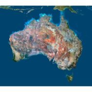
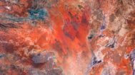
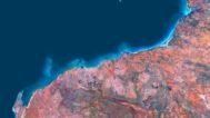
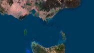
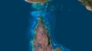
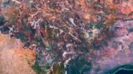
Discover the beauty of Australia’s vast geography with our Australia Satellite Map. This high-resolution satellite imagery provides an in-depth view of the continent’s unique topographic features, including deserts, coastal areas, forests, and cities. Whether for educational purposes, home decor, or custom projects, this map is designed for versatility and clarity.
High-Resolution Satellite Imagery of Australia’s Geography
Our Australia Satellite Map uses the latest mapping technology and geospatial data to capture the full range of Australian landscapes. From the outback to bustling Australian cities, every detail is clear and precise.
Top Uses for the Australia Satellite Map
- Educational Tool
Enhance lessons in geography and environmental monitoring by utilizing the detailed satellite imagery of Australia’s terrain, land use, and natural features. - Decorative Piece
Add a sophisticated touch to your home, office, or educational institution with this beautifully detailed satellite map of Australia. - Custom Design Projects
Perfect for designers, this map integrates easily into projects for posters, presentations, and digital displays.
Why Choose Our Australia Satellite Map?
Our map stands out for its clarity and precision, making it perfect for both professional and personal uses. Whether you’re an educator, a designer, or simply someone with a passion for geography, this map of Australia offers unmatched detail.
FAQ
This map is not geo-referenced, but feel free to contact us to obtain a file with geo data if needed.
Yes, we offer custom projections upon request. Contact us for details.
Yes, if you need the map in a different file format, please contact us. We offer various formats to meet your needs.
Yes, of course. Please specify the desired 3D model format, dimensions and how you will use it. This will help me to prepare an optimal model for you.
Absolutely! If you require a higher resolution version, just let us know, and we can provide a version that fits your requirements.
Yes, we can customize the map with different projections or remove boundaries as needed. Please reach out to us with your specifications, and we’ll accommodate your request.
For custom sizes or additional features, please contact us directly. We are happy to work with you to create a tailored map that fits your specific needs.
Absolutely! The map is available in high resolution, making it suitable for large format printing without losing detail. Be sure to check with your printing company if they require RGB-to-CMYK color conversion for best results.
In addition to educational and decorative uses, the map can be utilized for trip planning, natural resource research, and as a creative gift.