Download my free terrain models for graphic design, 3D printing or CNC milling.
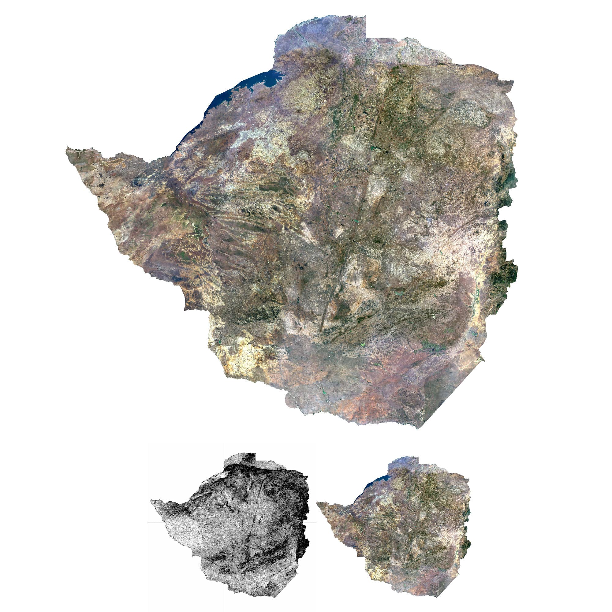
FREE TERRAIN 3D MODEL – TYPE 1
To create the Type 1 3D model, I used a combination of DEM and satellite imagery.
From the high-resolution DEM, I generated a high-poly mesh (around 20–40 million polygons). Since the high-poly mesh is very large, I optimized it by reducing the polygon count to a manageable size (100–500 MB). Then, I created a frontal UV map and applied a satellite texture to the mesh.
The Zimbabwe Type 1 3D model is available for free download in C4D, FBX, and OBJ formats.
- Total size of all three models: 635 MB
- Texture resolution: 8704×7978 px
- Topology: Triangles only
- Projection: Mercator
The model is suitable for medium to long-distance renderings.
If you need a more detailed mesh, a higher resolution texture, a different texture, projection, or added base height, please let me know.
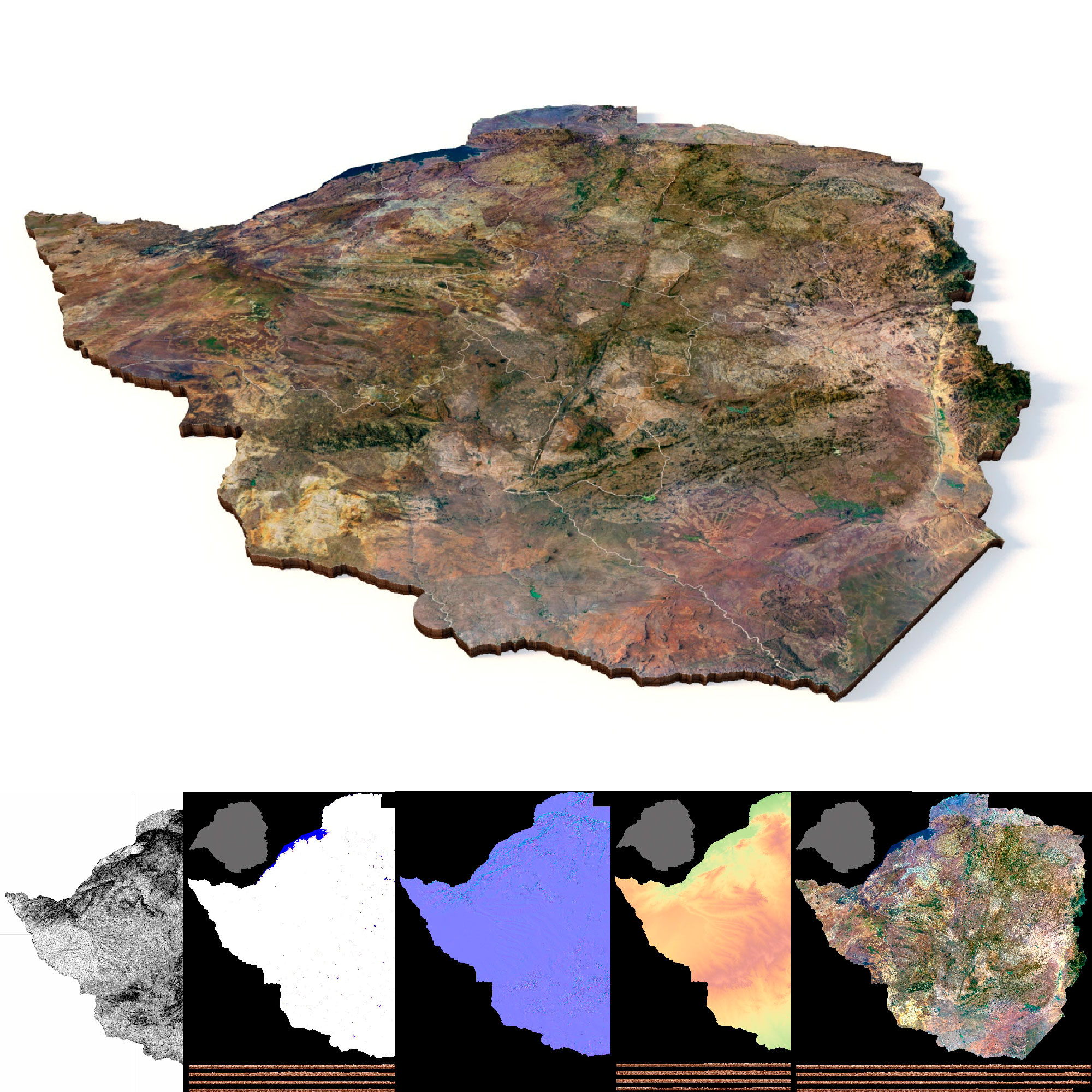
FREE TERRAIN 3D MODEL – Type 2
To create the second type of 3D model, I used a combination of DEM data, water datasets, vector files, and satellite imagery.
First, I subtracted water data from the high-resolution DEM to slightly deepen rivers and lakes. Using vector data, I cropped the model along the boundary contours. Then, I generated a high-poly mesh (20–40 million polygons).
Next, I created a normal map and a low-poly version of the model. Satellite textures and the normal map were applied using a UV map. Thanks to the normal map (derived from the high-poly mesh), the low-poly model retains high detail.
The Zimbabwe Type 2 3D model is available for free download in C4D and OBJ formats.
-
Total size of both models: 861 MB
-
Texture resolution: 10,000 × 10,000 px
-
Topology: Triangles only
-
Projection: Mercator
The model is optimized for medium- to long-range rendering. For animation it is recommended to further reduce the number of polygons, or use the LOD technique.
If you need adjustments—such as a more/less detailed mesh, higher-resolution textures, a different projection, or modified base elevation—feel free to request them.
FREE TERRAIN 3D PRINT MODEL
A 3D model for printing is slightly different from a model for graphic design.
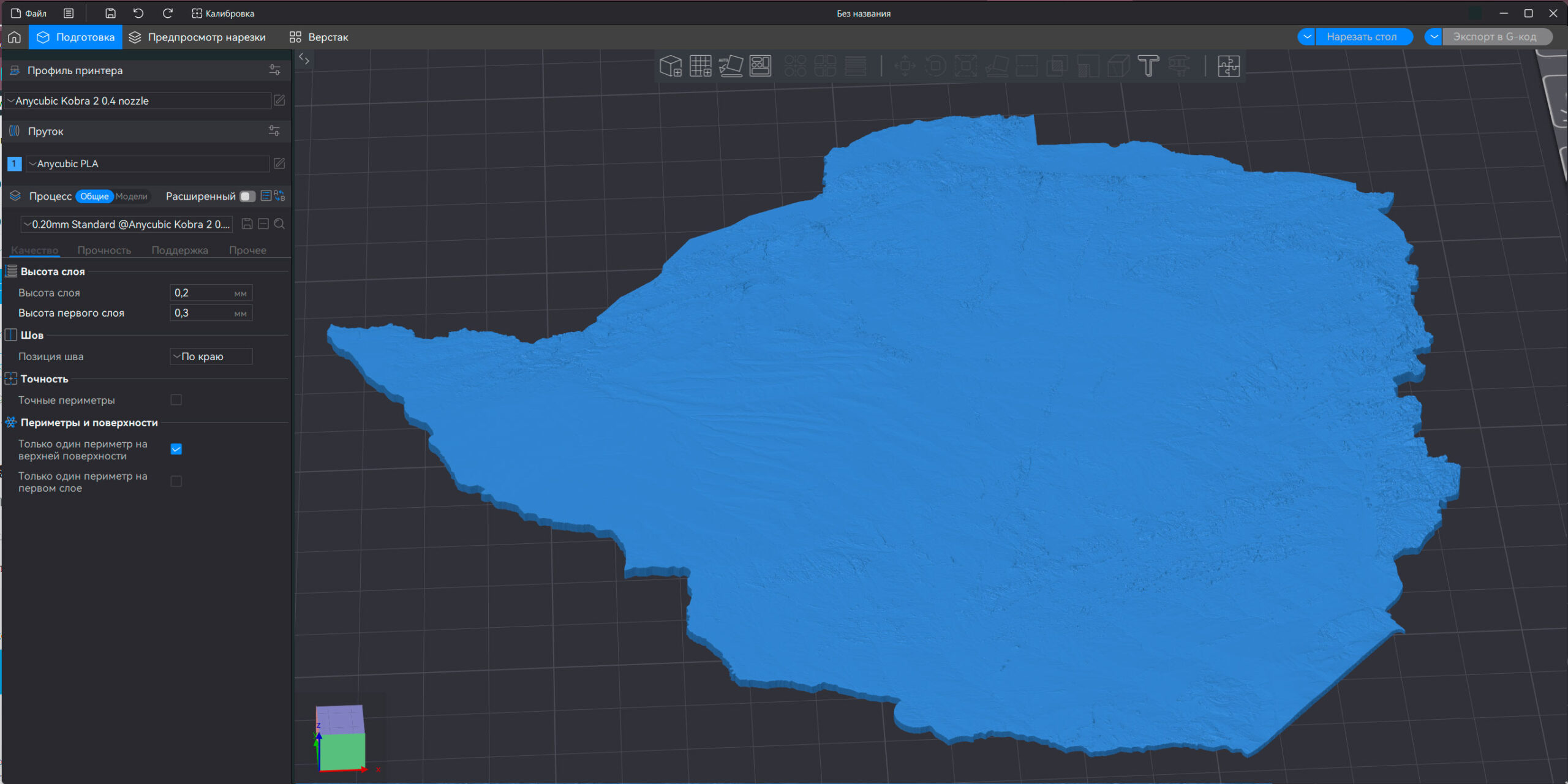
1. Popular formats for 3D printers are STL or OBJ.
2. The mesh of the 3D model must be closed at the bottom and free of errors
3. 3D models for printing usually have a higher number of polygons, especially when printing on SLA (DLP) printers.
A print-ready 3D model of Zimbabwe is available for free download in STL format.
- Model size: 423 MB
- Topology: Triangles only
- Projection: Mercator
- Polygons: 8,874,012
- Vertices: 4 437 008
- Base: Closed
If you need adjustments – e.g. more/less detailed mesh, different projection or modified base height – feel free to request them.
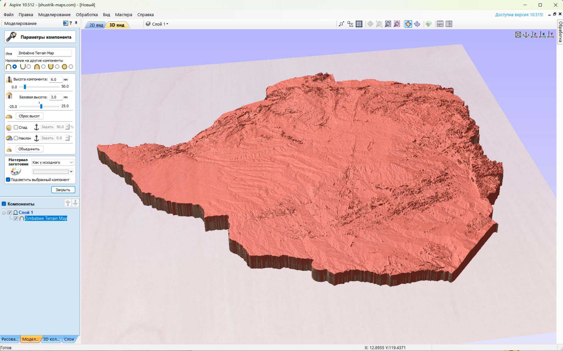
FREE TERRAIN CNC 3D MODEL
CNC software such as ArtCam or Aspire handles large files well, even those with mesh errors. They also work effectively with open-bottom meshes, allowing the creation of detailed 3D relief models with high polygon counts while keeping file sizes compact.
For testing, this 3D model is the same as the one used for 3D printing. For larger products, a model with a higher polygon count is required.
Let me know the dimensions of your product, and I will prepare a CNC-optimized model with the highest quality and the smallest possible file size.
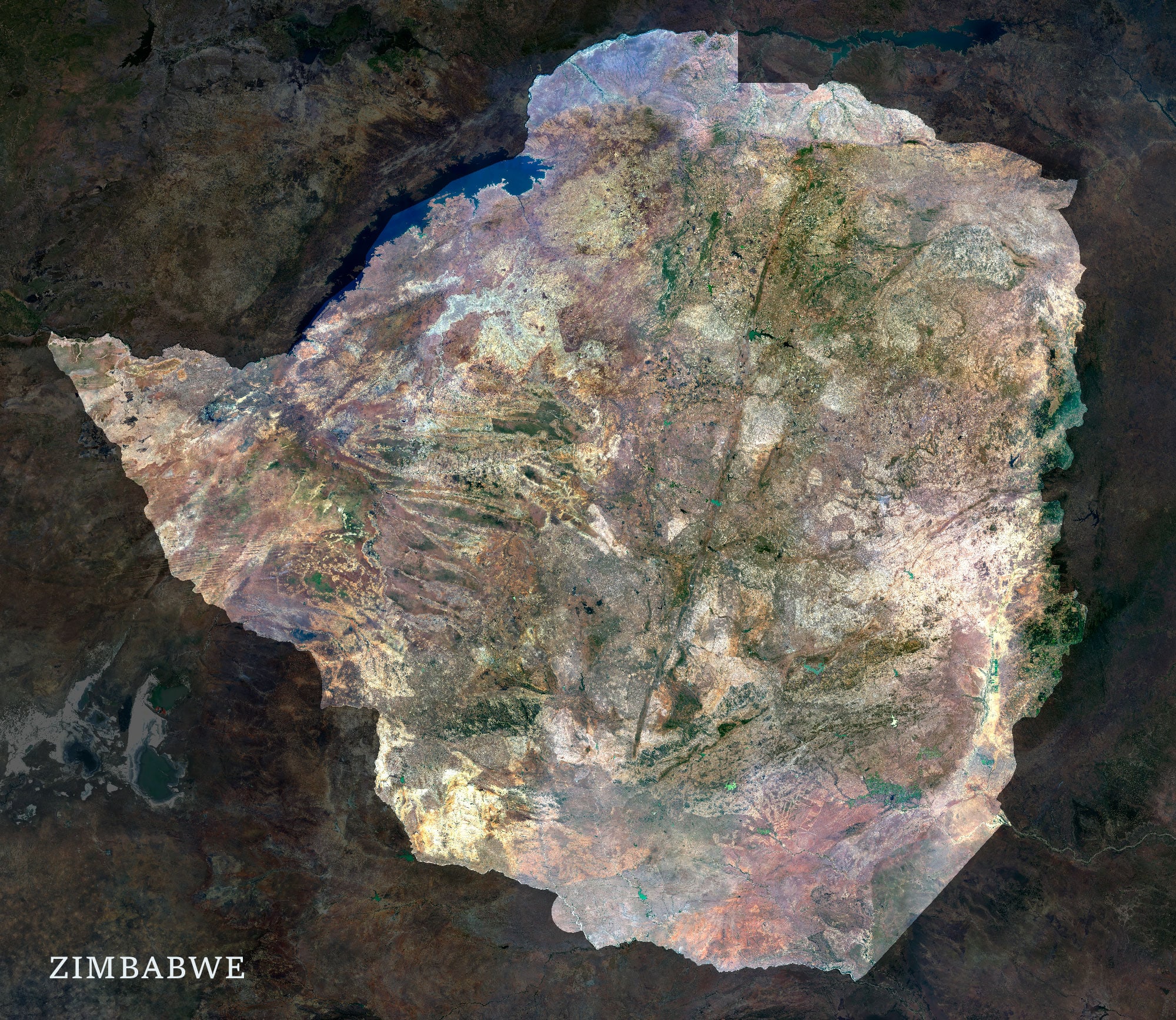
FREE SATELLITE MAP
Large resolution satellite texture
- Format: TIF
- Resolution: 19800*17200 px
- Color scheme: RGB
- Projection: Mercator
If you need other size, projection, background, color scheme, contact me.