 Solar System


 World
World


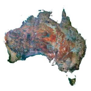
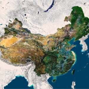
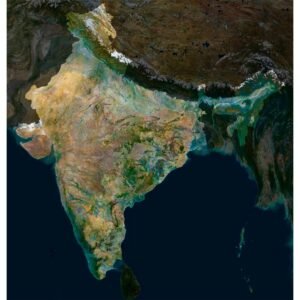
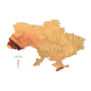
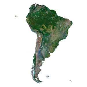
 Continents


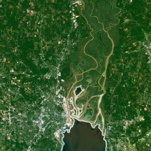
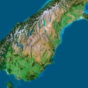
 Peninsulas
 Islands
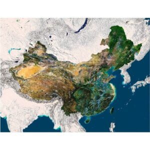
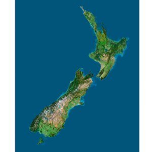
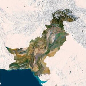
 Countries
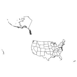
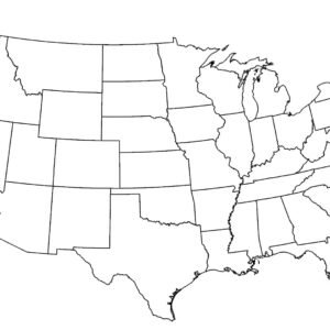
 States of America


 Canadian Provinces


 Parks & Canyons
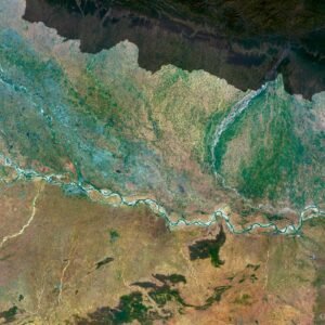
 Other
Other


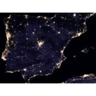
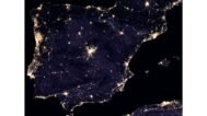
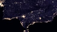
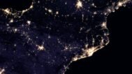
Experience the captivating beauty of Spain from a unique perspective with our Spain Night Satellite Map. This high-resolution satellite map offers an unparalleled view of Spain at night, capturing the mesmerizing glow of city lights against the tranquil darkness of rural areas. Ideal for educational purposes, urban planning, or simply as a stunning piece of art, this map is a must-have for anyone with an interest in geography or astronomy.
Why You Should Buy:
- Educational Value: Perfect for educators and students, this map serves as a valuable resource for teaching about geography, urbanization, and the effects of light pollution.
- Aesthetic Appeal: The stunning night view of Spain makes for an eye-catching and conversation-starting piece of decor, suitable for both homes and offices.
- High-Quality Print: The high resolution and large file size ensure that the map can be printed in large formats without losing detail, making it ideal for display purposes.
Lifestyle Integration:
Whether you’re an educator, a geography enthusiast, or someone who appreciates unique art, the Spain Night Satellite Map adds a touch of sophistication and intrigue to your space. It not only serves as a functional educational tool but also as a beautiful piece of art that can spark conversations and inspire curiosity about the world we live in.
FAQ
This map is not geo-referenced, but feel free to contact us to obtain a file with geo data if needed.
Yes, we offer custom projections upon request. Contact us for details.
Yes, if you need the map in a different file format, please contact us. We offer various formats to meet your needs.
Yes, of course. Please specify the desired 3D model format, dimensions and how you will use it. This will help me to prepare an optimal model for you.
Absolutely! If you require a higher resolution version, just let us know, and we can provide a version that fits your requirements.
Yes, we can customize the map with different projections or remove boundaries as needed. Please reach out to us with your specifications, and we’ll accommodate your request.
For custom sizes or additional features, please contact us directly. We are happy to work with you to create a tailored map that fits your specific needs.
Absolutely! The map is available in high resolution, making it suitable for large format printing without losing detail. Be sure to check with your printing company if they require RGB-to-CMYK color conversion for best results.
In addition to educational and decorative uses, the map can be utilized for trip planning, natural resource research, and as a creative gift.