Showing 1–25 of 510 results


Original price was: $25.00.$15.00Current price is: $15.00.
Original price was: $200.00.$150.00Current price is: $150.00.
Original price was: $40.00.$28.00Current price is: $28.00.


$28.00
$35.00
$10.00

$15.00
Original price was: $40.00.$28.00Current price is: $28.00.
Original price was: $21.00.$15.00Current price is: $15.00.
$15.00


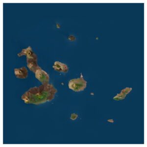
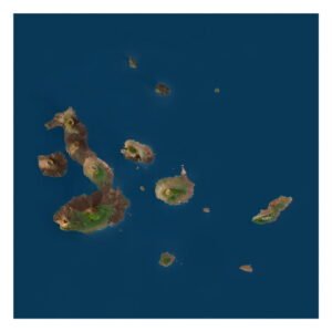
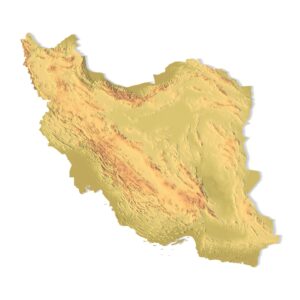
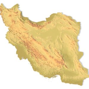
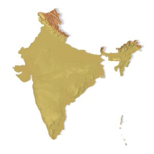
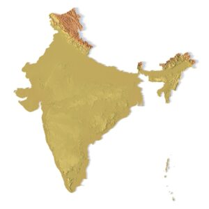
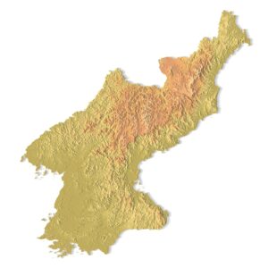
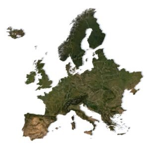
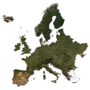
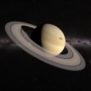
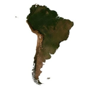
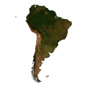
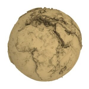
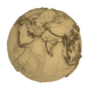
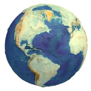
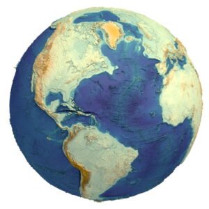
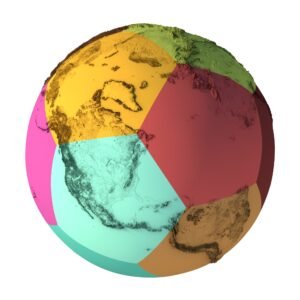
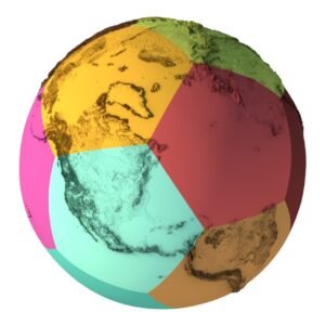
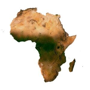
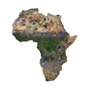
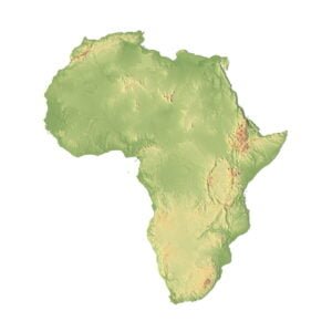
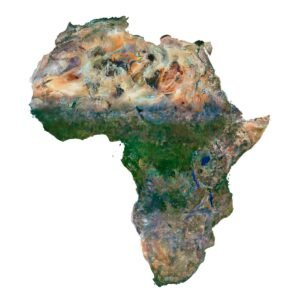
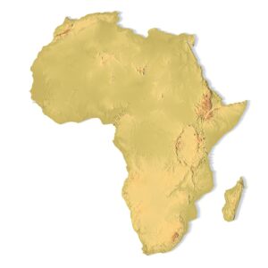
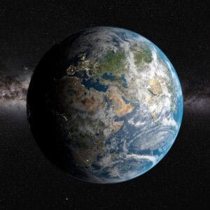
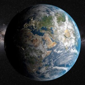
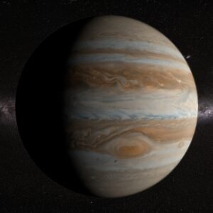
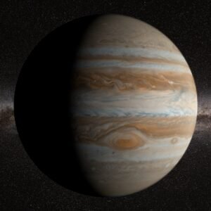
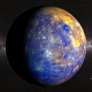
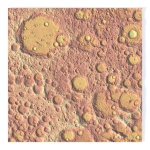
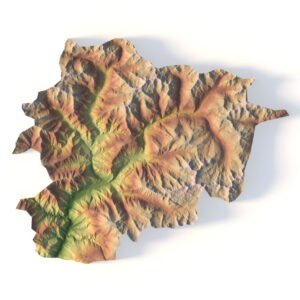
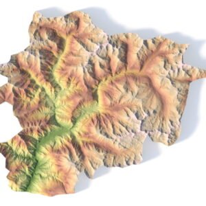
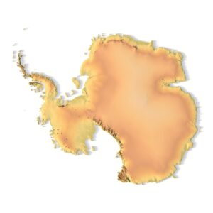
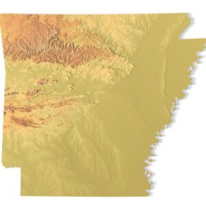
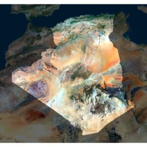
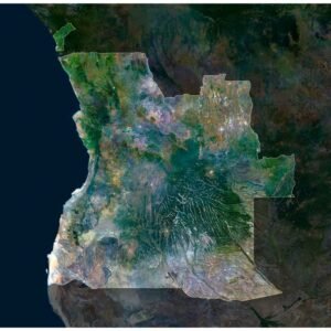
3D MAPS AND PLANETS FOR VISUALIZATION, ANIMATION AND GAMES
Create truly impressive projects with our high-quality 3D models of the Earth, countries, continents, planets, islands, U.S. states, Canadian provinces, national parks, and canyons.


We offer our models in OBJ, FBX, and C4D formats, fully optimized for use in graphic design, animation, video production, game development, VR/AR applications and educational projects.
PRODUCT EXAMPLES
Browse, download, and bring your next project to life with high-quality geographic 3D models.
Original price was: $20.00.$15.00Current price is: $15.00.

Original price was: $20.00.$15.00Current price is: $15.00.
Original price was: $25.00.$15.00Current price is: $15.00.
What you’ll find in this category:
- 3D maps of countries and continents for infographics and visual effects
- Topographic models of natural parks and canyons in realistic detail
- Planets and moons — ideal for space-themed projects and intros
- Terrain models and globes — perfect for presentations and motion design
Suitable for:
- Video editing, YouTube intros, and documentaries
- Game development and simulation environments (Unity, Unreal)
- Educational content and visualizations
- Digital art and design concepts
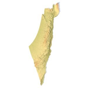
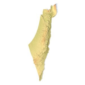
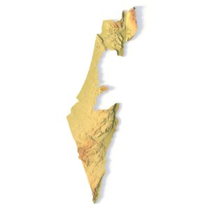
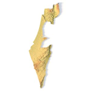
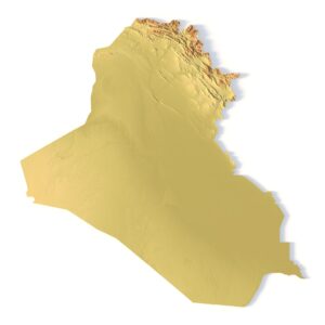
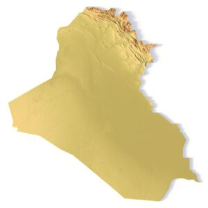
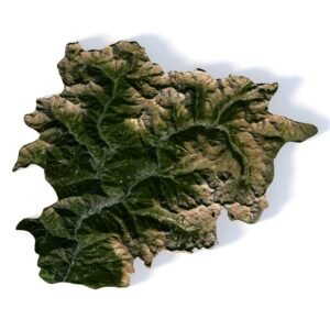
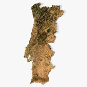
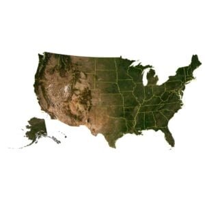
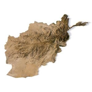
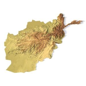
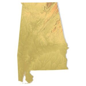
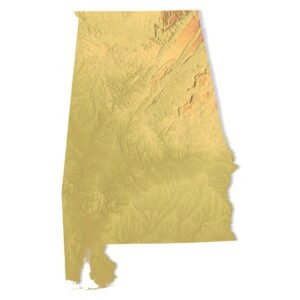
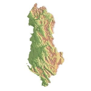
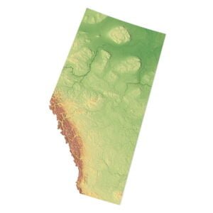
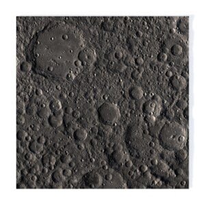
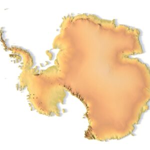
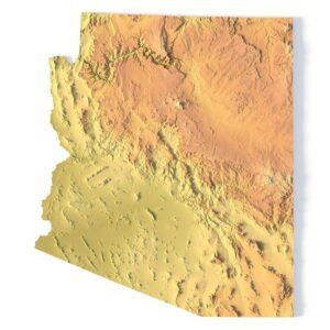
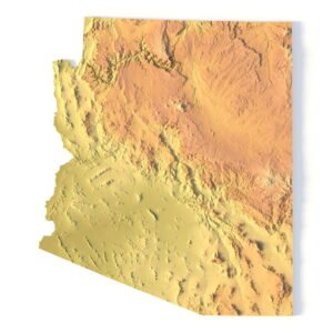
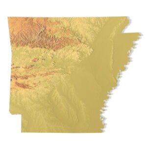
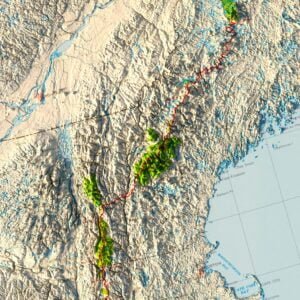
3D PRINTABLE & CNC-READY TERRAIN MODELS
Bring geography to life with physical 3D models of planets, world maps, countries, continents, islands, and U.S. states — ready for 3D printing and CNC machining.


We offer our models in STL and STEP formats, suitable for printing with plastic or resin and carving from wood, metal, or acrylic.
Original price was: $21.00.$15.00Current price is: $15.00.


Original price was: $21.00.$15.00Current price is: $15.00.
Original price was: $21.00.$15.00Current price is: $15.00.


Use them for:
- Educational tools for schools, universities, and museums
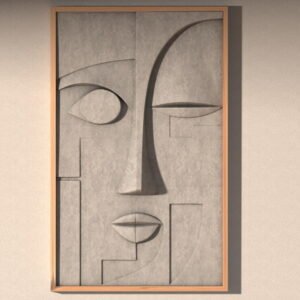
- Interior decor — wall art, relief panels, and geographic sculptures
- Custom gifts and souvenirs made from wood or metal
- Jewelry design — miniature maps, continents, or planetary reliefs
- DIY projects for makers and hobbyists
Perfect for:
- 3D printing studios
- CNC professionals
- Educators
- Interior designers
- Creative hobbyists
- Jewelers and Engravers
TRY IT FOR FREE
DOWNLOAD A FREE 3D MODELS
Get a high-quality 3D model absolutely free. Test it in your workflow, check compatibility, and explore the level of detail we provide. Formats include OBJ, STL, FBX, and more.
REQUEST A CUSTOM
TERRAIN 3D MODELS
Looking for a specific country, island, park, or terrain that’s not yet in our catalog? Send us a request — we’ll create or prepare the model tailored to your needs.
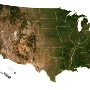
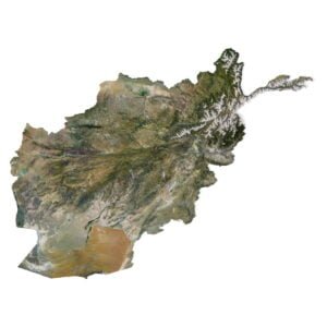
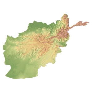
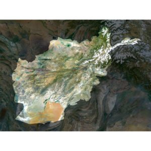
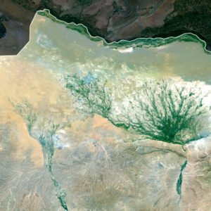
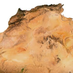
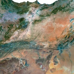
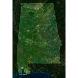
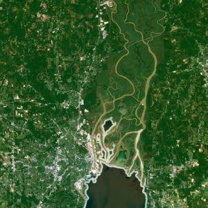
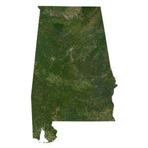
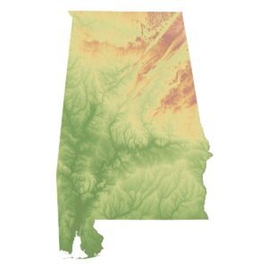
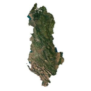
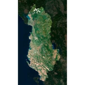
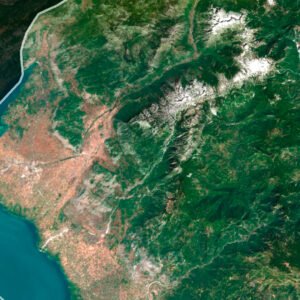
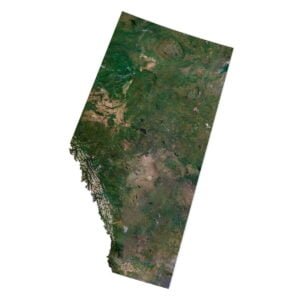
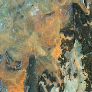
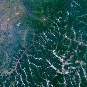
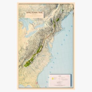
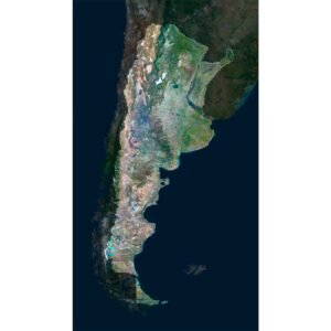
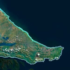
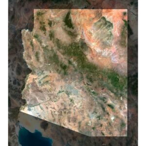
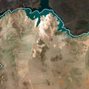
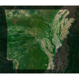
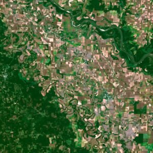
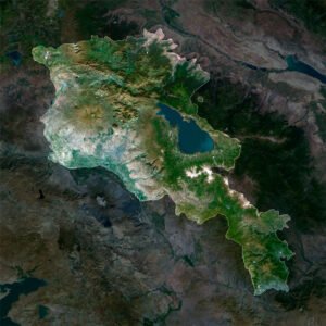
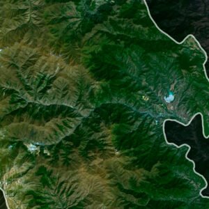
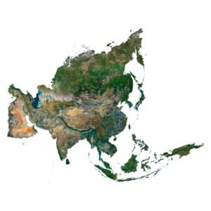
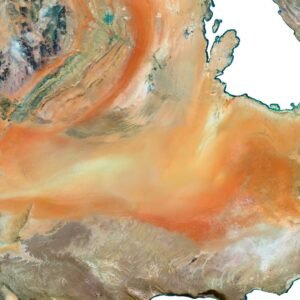
HIGH-RESOLUTION MAPS FOR DESIGN, PRINT AND ANALYSIS
Discover a rich collection of high-resolution satellite maps, night maps, elevation maps, relief textures, and historical maps — available in both georeferenced and non-georeferenced formats.
We offer our maps in GeoTIFF, TIFF, and layered PSD, ready for use in graphic design, GIS projects, print production, educational materials, and scientific analysis.
$10.00
$15.00
$15.00
$15.00
$15.00
$15.00
$15.00
$10.00
Perfect for:
- Designers and publishers
- Architects and urban planners
- Educators and researchers
- Interior decorators and print studios
- GIS and mapping professionals
Use them for:
- Posters, book covers, packaging, and wall art
- Scientific reports, presentations, and infographics
- 3D terrain generation and elevation modeling
- Historical reconstructions and classroom visuals
- Custom prints on canvas, metal, or paper
WHAT WE OFFER?
We provide a wide selection of 3D topographic maps, terrain models, and digital elevation products for professionals, designers, educators, and makers.
All files are precisely prepared and optimized for various applications — from 3D printing and CNC machining to GIS mapping, visual design, and educational use.
All files are precisely prepared and optimized for various applications — from 3D printing and CNC machining to GIS mapping, visual design, and educational use.