

Grand Canyon 3D model
Original price was: $30.00.$20.00Current price is: $20.00.
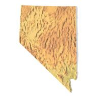
Nevada Topographic Map STL – 3D Terrain Model for 3D Printing & CNC
Original price was: $21.00.$15.00Current price is: $15.00.
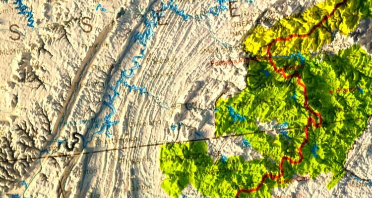
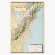
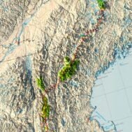
Appalachian Trail 1981 Relief Map
High-resolution historical map of Appalachian Trail 1981 in PSD format
![]()
- Linear size: 76 x 114 cm
- Pixel resolution: 120 MPx (9064 px x 13545 px)
- File size: ~1.3 GB
- Compression: No compression
- Color Depth: 16 Bit/channel
- Color model: CMYK
- Print resolution: 300 DPI
Description
Map of Appalachian Trail. Shows political boundaries, cities, railroads, topography, major lakes and drainage, coastlines and islands. Relief shown with hachures. Includes latitudinal and longitudinal lines, as well as a compass rose and bar scale, given in British miles.

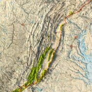
Appalachian Trail 1981 Relief Map at 100% zoom