Skip to navigation Skip to main content
shustrikmaps@gmail.com
Free conversion to OBJ/FBX/STL/C4D/STEP
  • Services
  • About
  • FAQ
  • Site Map
  • How to buy?
shustrikmaps@gmail.com
Logo shustrik maps
  • A-Z
  • 3D MODELSOBJ/FBX/C4D
    • Solar SystemSolar System
    • WorldWorld
    • ContinentsContinents
    • PeninsulasPeninsulas
    • IslandsIslands
    • CountriesCountries
    • States of AmericaStates of America
    • Canadian ProvincesCanadian Provinces
    • Parks & CanyonsParks & Canyons
    • OtherOther
  • 3D PRINT/CNC MODELSSTL
    • PlanetsPlanets
    • SatellitesSatellites
    • ContinentsContinents
    • CountriesCountries
    • IslandsIslands
    • States of AmericaStates of America
    • OtherOther
  • MAPSTIF/PSD/SVG
    • Satellite Maps
    • Night Satellite Map
    • Heightmaps/Raster DEM
    • Relief Maps
    • 3D Maps
    • Historical Maps
    • Outline Maps
    • Various Map Projections
  • SERVICES
  • TOOLS
    • Cube maps converter
  • FREE
Search
0 items / $0.00
Menu
3D Models and 3D Maps
Search
0 items / $0.00
Home MAPS Page 4

Showing 76–100 of 128 results
Show sidebar
-50%
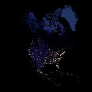
Night satellite map of North America showing Canada, the United States, Mexico and Greenland against dark surrounding seas.
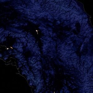
Night satellite detail of northwestern North America showing Alaska, mountainous terrain and a few isolated light clusters.

North America from space at night

$10.00 Original price was: $10.00.$5.00Current price is: $5.00.
Add to cart
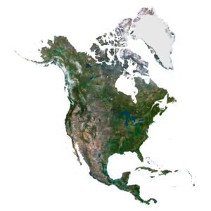
Satellite map of North America on white, including Greenland, Arctic islands, the Great Lakes and Central America.
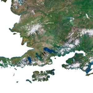
Satellite detail of Alaska showing snowy mountain ranges, deeply indented coastlines and offshore islands.

North America Satellite Map

$10.00
Add to cart
-50%
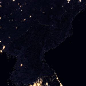
Night satellite map of North Korea showing sparse inland lights, the country outline and brighter neighbouring areas.
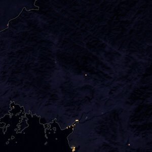
Night satellite detail of western North Korea showing scattered lights, its coastline and darker inland terrain.

North Korea Night Satellite Map

$10.00 Original price was: $10.00.$5.00Current price is: $5.00.
Add to cart
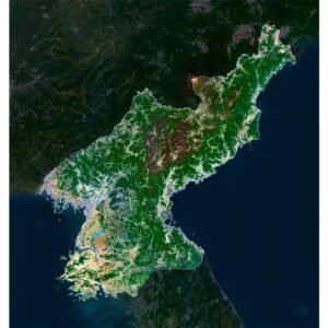
Daytime satellite map highlighting North Korea, with green interior mountains, paler western lowlands and coastlines on both sides.
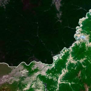
Satellite detail of northern North Korea showing a winding boundary beside dark green ridges and pale highland patches.

North Korea Satellite Map

$15.00
Add to cart
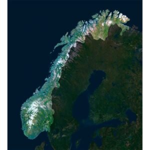
Satellite map highlighting Norway, with a long indented coast, snowy mountain spine and darker neighbouring Scandinavian land.
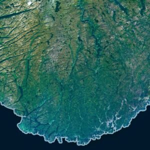
Satellite detail of southern Norway showing a rounded indented coast, green valleys and dark inland water bodies.

Norway Satellite Map

$15.00
Add to cart
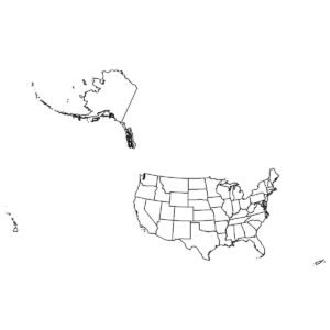
Outline map of USA
Map US outline

Outline Map of USA

$1.00
Add to cart
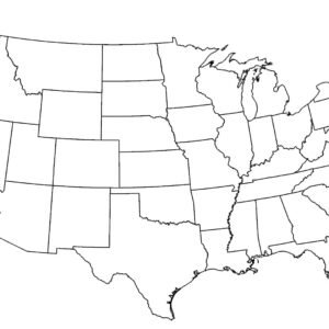
Outline Map of USA with States
America map outline with states

Outline Map of USA with States

$0.00
Add to cart
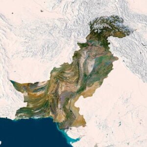
Pakistan map
Pakistan 3D map

Pakistan 3D Map

$32.00
Add to cart
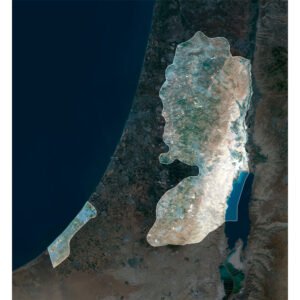
Satellite map highlighting the West Bank and the separate Gaza Strip, with surrounding land darker and nearby seas visible.
Satellite detail of the southern West Bank showing pale ridges beside the blue Dead Sea and the highlighted map outline.

Palestine Satellite Map

$15.00
Add to cart
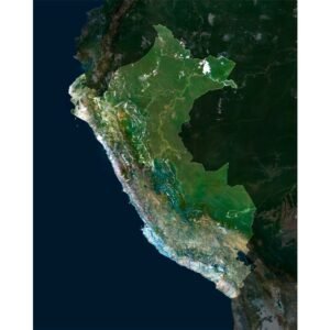
Satellite map highlighting Peru, with a long Pacific coast, an Andean mountain belt and greener eastern lowlands.
Satellite detail of Peru showing green Andean slopes and ridges crossed by bright white cloud bands.

Peru Satellite Map

$15.00
Add to cart
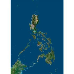
Satellite map of the Philippines showing the long island chain, narrow channels and part of neighbouring Borneo.
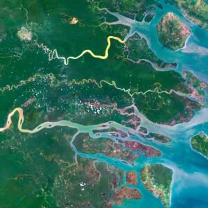
Satellite detail of the Philippines showing branching rivers and islands at a turquoise coastal delta.

Philippines Satellite Map

$15.00
Add to cart

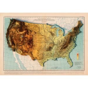
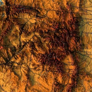
Physical features of the United States

Read more
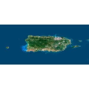
Satellite map of Puerto Rico showing its green mountainous interior, paler coastal land and smaller offshore islands.
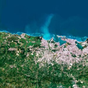
Satellite detail of northern Puerto Rico showing San Juan's pale urban area, coastal lagoons and turquoise shoreline water.

Puerto Rico Satellite Map

$15.00
Add to cart
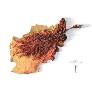
Relief map of Afghanistan
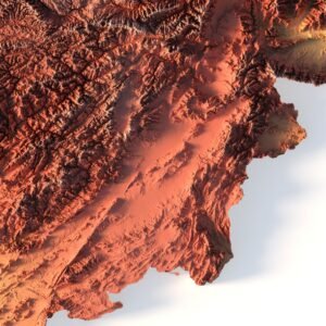
Afghanistan maps 3d

Relief map of Afghanistan

Read more
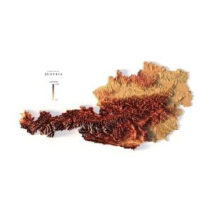
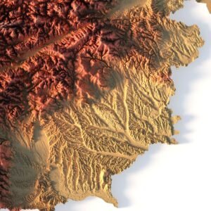
Austria maps 3d
Relief map Austria

Relief map of Austria

Read more
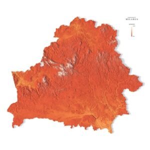
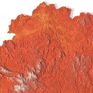
3d map Belarus
Relief map of Belarus

Relief map of Belarus

Read more
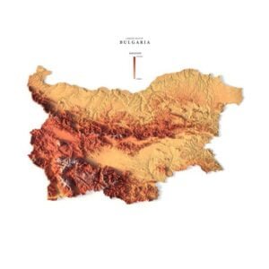
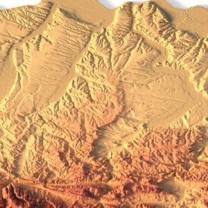
Relief map of Bulgaria
Bulgaria relief

Relief map of Bulgaria

Read more
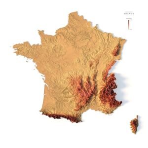
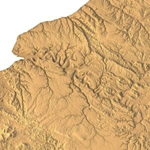
France maps 3d
3d relief map of France

Relief map of France

Read more
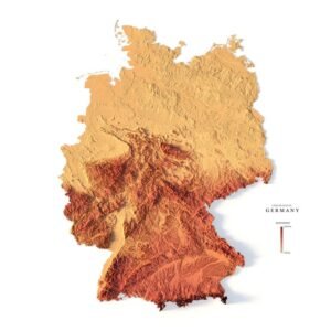
Relief map of Germany
Germany relief map

Relief map of Germany

$15.00
Add to cart

Relief map of Greece

Read more
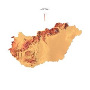
Relief map of Hungary
Hungary relief

Relief map of Hungary

Read more
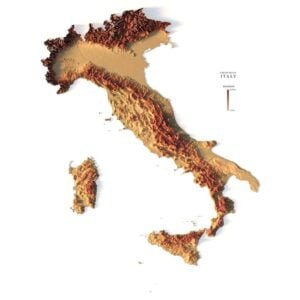
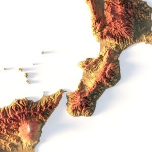
Italy relief
Topographic map Italy

Relief map of Italy

$15.00
Add to cart
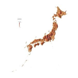
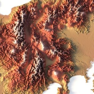
Relief map of Japan
Japan maps 3d

Relief map of Japan

Read more
Relief map of Kosovo
3d map Kosovo

Relief map of Kosovo

$15.00
Add to cart
Relief map of Moldova
Mapa 3d Moldova

Relief map of Moldova

Read more
  • ←
  • 1
  • 2
  • 3
  • 4
  • 5
  • 6
  • →
🧭 Explore
  • About Us
  • Blog
  • How to Buy
  • Explore Our Terrain Services
  • info@shustrik-maps.com
🌐 Purchase Info
  • Purchase with Crypto / PayPal / VISA
  • Discounts & Special Offers
  • Refund and Returns Policy
  • Terms of Service
  • Shipping and delivery policy
  • Support
🛒 Available On
  • Buy on Cults3D.com
  • Buy on CGtrader.com
  • Buy on RenderHub.com
  • Buy on 3DExport.com
  • FREE 3D MODELS
🗺️ 3D Terrain Models
  • Planets
  • World
  • Continents
  • Peninsulas
  • Islands
  • Countries
  • States of America
  • Canadian Provinces
  • Canyons
  • Cities
🛠️ For Printing & CNC
  • Planets
  • Satellites
  • Continents
  • Countries
  • States of America
  • Islands
  • Art
🗺️ Maps & Imagery
  • Satellite Maps
  • 3D Maps
  • Heightmaps/Raster DEM
  • Historical Maps
  • Night Satellite Map
  • Outline Maps
  • Relief Maps
  • Projections
SHUSTRIK-MAPS 2026 High-quality 3D Topographic Maps & Terrain Models – STL, OBJ, GeoTIFF & more
Pay with Visa, PayPal, or Crypto
Start typing to see products you are looking for.
  • 3D MODELS
    • Solar System
    • World
    • Continents
    • Peninsulas
    • Islands
    • Countries
    • States of America
    • Canadian Provinces
    • Canyons
    • Buildings
    • ART
  • 3D PRINT/CNC MODELS
    • Planets
    • Satellites
    • Continents
    • Countries
    • Islands
    • States of America
    • Other
  • MAPS
    • Satellite Maps
    • Night Satellite Map
    • Heightmaps/Raster DEM
    • Relief Maps
    • 3D Maps
    • Historical Maps
    • Outline Maps
  • A-Z
  • FREE
  • About
  • FAQ
  • How to buy?
  • Site Map HTML
  • Explore Our Terrain Services
Shopping cart
Close