


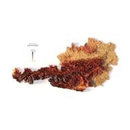
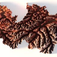
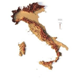
Relief map of Austria
High-resolution relief map of Austria in PSD format
![]()
- Linear size: 84.6 x 84.6 cm
- Pixel resolution: 100 MPx (10 000 px x 10 000 px)
- File size: ~800 MB
- Color Depth: 16 Bit/channel
- Color model: CMYK
- ICC-profile: U.S. Web Coated (SWOP) v2
- Compression: No compression
- Print resolution: 300 DPI
- Scaling factor: X – 0.0000001; Y – 0.0000001; Z – 0.0000010
- Projection: Mercator
Description
Austria is a landlocked country, known for its rugged terrain because of its central position in the Alps. The country is situated in Central Europe with Italy and Slovenia to the south, Hungary to the southeast, Slovakia to the east, the Czech Republic to the north, Germany to the northwest, as well as Switzerland and Liechtenstein to the west. In the northeast, Austria is mostly flat or gentle-sloping. This is where most of Austria’s population is concentrated, including its most populous and capital city, Vienna.

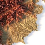
Color design for the relief map of Austria
You can change the color scheme of the relief map yourself in Photoshop or any other graphics editor.
You can also add your own text or additional graphics.


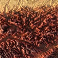
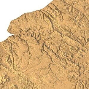
Relief map of Austria at 100% zoom

Related products

Original price was: $21.00.$17.00Current price is: $17.00.
$15.00