
Philippines Satellite Map
$15.00
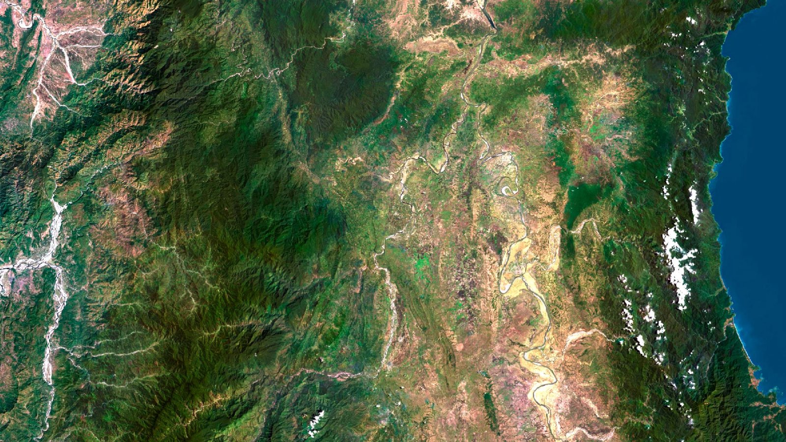
Philippines satellite imagery for editorial maps, presentations and print design.
- Format: TIF
- Resolution: 15506*21694 px
- Depth: 24 bit
- Size: 128 MB
- Color scheme: RGB
- Projection: Mercator
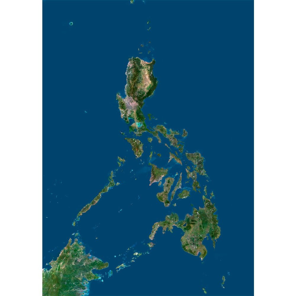
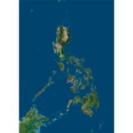
The Philippines satellite map presents an island-chain composition within a broad blue western Pacific setting. Luzon forms the large northern landmass, with the smaller central island groups leading toward Mindanao in the south. Palawan creates a long diagonal element to the southwest of the main chain.
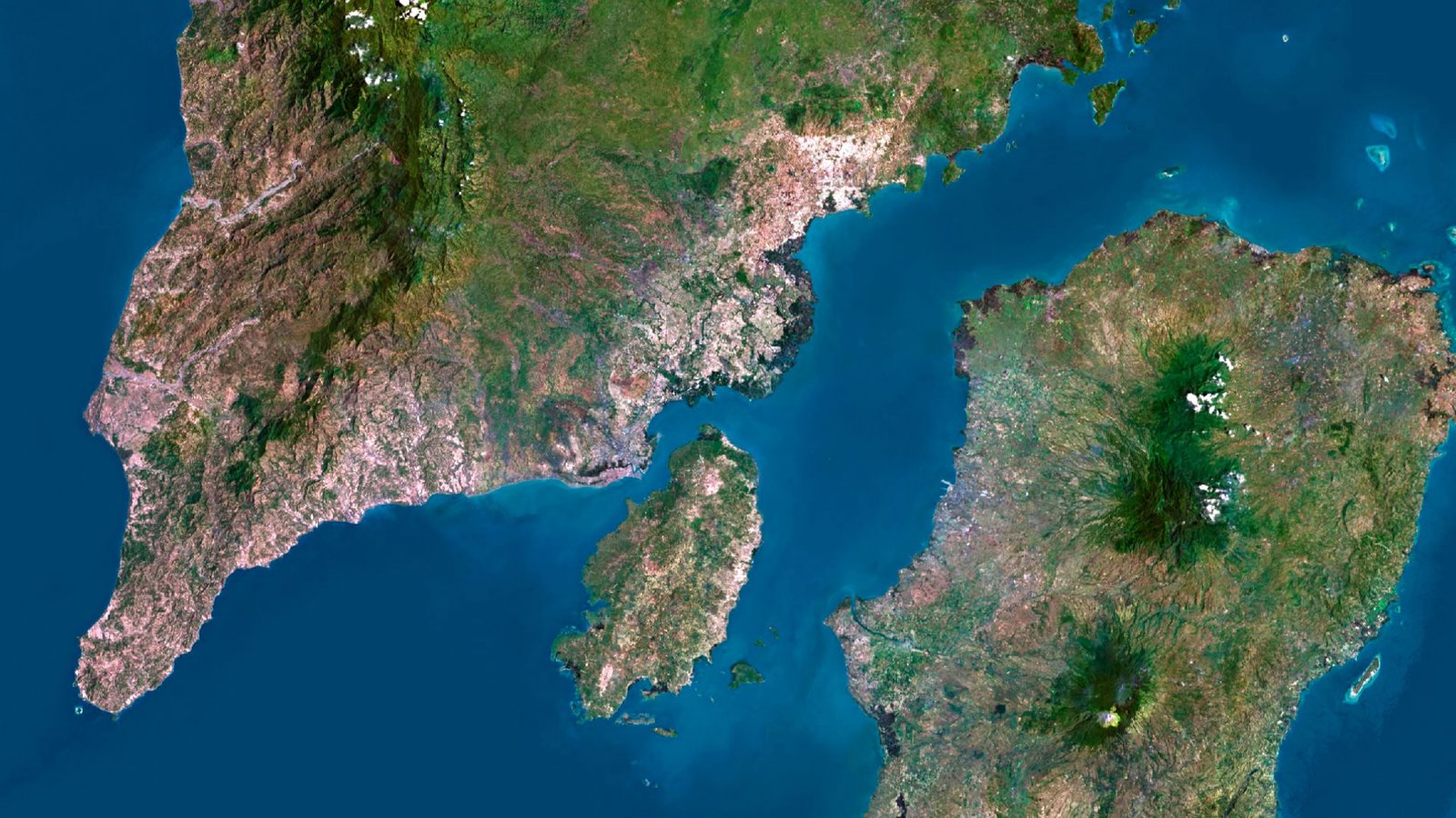
Green interiors, paler terrain and irregular coastal lines give the islands individual shapes within the wider archipelago. The channels and open water between them are part of the composition, connecting separated land areas within a single geographic frame. Nearby land at the southwestern margin provides additional regional context.
Use it for Philippine regional presentations, island-focused editorial graphics and printed archipelago maps. The north-to-south arrangement is useful for layouts linking several island groups while keeping the surrounding seas and the overall shape of the country in view.
FAQ
This map is not geo-referenced, but feel free to contact us to obtain a file with geo data if needed.
Yes, we offer custom projections upon request. Contact us for details.
Yes, if you need the map in a different file format, please contact us. We offer various formats to meet your needs.
Yes, of course. Please specify the desired 3D model format, dimensions and how you will use it. This will help me to prepare an optimal model for you.
Absolutely! If you require a higher resolution version, just let us know, and we can provide a version that fits your requirements.
Yes, we can customize the map with different projections or remove boundaries as needed. Please reach out to us with your specifications, and we’ll accommodate your request.
For custom sizes or additional features, please contact us directly. We are happy to work with you to create a tailored map that fits your specific needs.
Absolutely! The map is available in high resolution, making it suitable for large format printing without losing detail. Be sure to check with your printing company if they require RGB-to-CMYK color conversion for best results.
In addition to educational and decorative uses, the map can be utilized for trip planning, natural resource research, and as a creative gift.