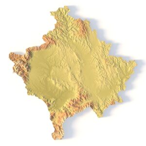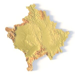
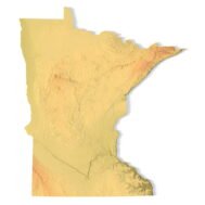
Minnesota Topographic Map STL – 3D Terrain Model for 3D Printing & CNC
Original price was: $21.00.$15.00Current price is: $15.00.
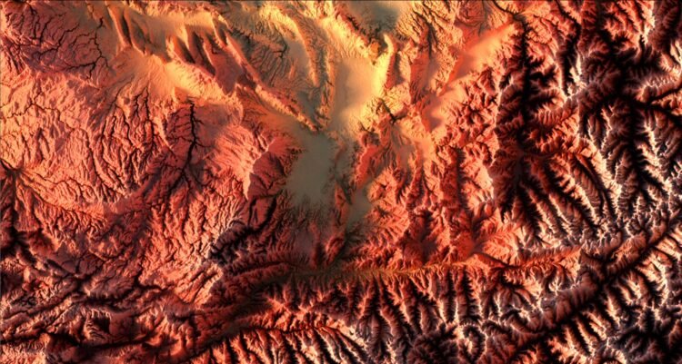
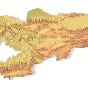
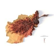
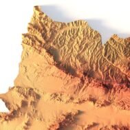
Relief map of Afghanistan
High-resolution relief map of Afghanistan in PSD format
![]()
- Linear size: 84.6 x 84.6 cm
- Pixel resolution: 100 MPx (10 000 px x 10 000 px)
- File size: ~1 GB
- Color Depth: 16 Bit/channel
- Color model: CMYK
- ICC-profile: U.S. Web Coated (SWOP) v2
- Print resolution: 300 DPI
- Scaling factor: X – 0.0000001; Y – 0.0000001; Z – 0.0000015
- Projection: Mercator
Description
Afghanistan is located in Central Asia and is often recognized as the “Crossroads to Asia”. It’s surrounded by six other countries. Specifically, it borders Pakistan to the south and Iran to the west. Then, Turkmenistan, Uzbekistan, and Tajikistan are to the north. Finally, China is to the northeast of Afghanistan. It occupies an area of 652,864 square kilometers (252,072 sq mi), which is similar in area to France or the state of Texas. Kabul is the capital city of Afghanistan and is one of the 100 most populous cities in the world.

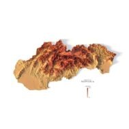
Color design for the relief map of Afghanistan
You can change the color scheme of the relief map yourself in Photoshop or any other graphics editor.
You can also add your own text or additional graphics.


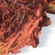
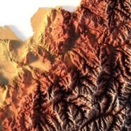
Relief map of Afghanistan at 100% zoom