Skip to navigation Skip to main content
shustrikmaps@gmail.com
Free conversion to OBJ/FBX/STL/C4D/STEP
  • Services
  • About
  • FAQ
  • Site Map
  • How to buy?
shustrikmaps@gmail.com
Logo shustrik maps
  • A-Z
  • 3D MODELSOBJ/FBX/C4D
    • Solar SystemSolar System
    • WorldWorld
    • ContinentsContinents
    • PeninsulasPeninsulas
    • IslandsIslands
    • CountriesCountries
    • States of AmericaStates of America
    • Canadian ProvincesCanadian Provinces
    • Parks & CanyonsParks & Canyons
    • OtherOther
  • 3D PRINT/CNC MODELSSTL
    • PlanetsPlanets
    • SatellitesSatellites
    • ContinentsContinents
    • CountriesCountries
    • IslandsIslands
    • States of AmericaStates of America
    • OtherOther
  • MAPSTIF/PSD/SVG
    • Satellite Maps
    • Night Satellite Map
    • Heightmaps/Raster DEM
    • Relief Maps
    • 3D Maps
    • Historical Maps
    • Outline Maps
    • Various Map Projections
  • SERVICES
  • TOOLS
    • Cube maps converter
  • FREE
Search
0 items / $0.00
Menu
3D Models and 3D Maps
Search
0 items / $0.00
Home MAPS Page 5

Showing 101–125 of 128 results
Show sidebar
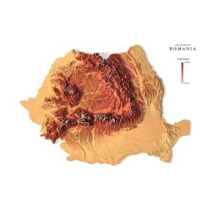
Romania 3D map

Relief map of Romania

$15.00
Add to cart
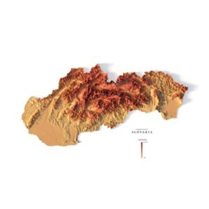
Relief map of Slovakia
mapa 3d Slovakia

Relief map of Slovakia

Read more
Mapa 3d Switzerland
Switzerland map 3d

Relief map of Switzerland

Read more
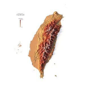
Relief map of Taiwan
mapa 3d Taiwan

Relief map of Taiwan

Read more
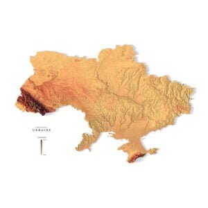
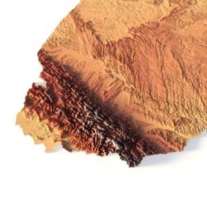
Relief map of Ukraine
mapa 3d Ukraine

Relief map of Ukraine

Read more
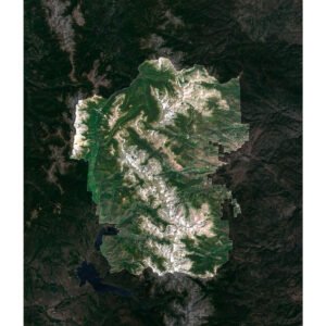
Satellite map highlighting Rocky Mountain National Park, with pale high ridges, green valleys and darker surrounding mountain terrain.
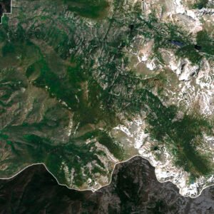
Satellite detail of Rocky Mountain National Park showing green western valleys below pale high ridges along the highlighted park outline.

Rocky Mountain National Park Map

$15.00
Add to cart
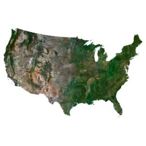
Satellite map of the contiguous United States on white, contrasting western mountains and deserts with greener eastern landscapes.
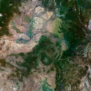
Satellite detail of the northwestern United States showing forested mountains, pale plateaus and winding river valleys.

Satellite Map of USA

$10.00
Add to cart
-50%
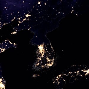
Night satellite map of the Korean Peninsula showing dense lights in South Korea, a darker North Korea and neighbouring parts of East Asia.
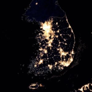
Night satellite detail of South Korea with a fine boundary line, bright urban clusters and neighbouring coastlines.

Satellite Picture of Korea at Night

$10.00 Original price was: $10.00.$5.00Current price is: $5.00.
Add to cart
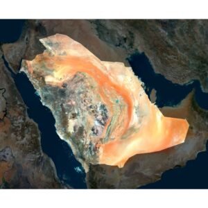
Satellite map highlighting Saudi Arabia, with orange sand belts, pale interior terrain and the Red Sea and Gulf coasts.
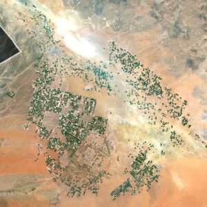
Satellite detail of northern Saudi Arabia showing clusters of dark circular irrigation fields across pale and orange desert terrain.

Saudi Arabia Satellite Map

$15.00
Add to cart
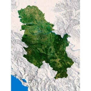
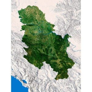
Serbia 3D map
Serbia map

Serbia 3D Map

$32.00
Add to cart
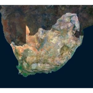
Satellite map highlighting South Africa, with pale interior plains, greener southern terrain and a dark inset around Lesotho.
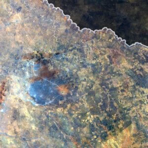
Satellite detail of northern South Africa showing a winding river along the highlighted boundary beside golden field grids and rocky ground.

South Africa Satellite Map

$15.00
Add to cart
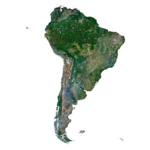
Satellite map of South America on white, showing the Amazon basin, the Andes and the narrow southern landmass.
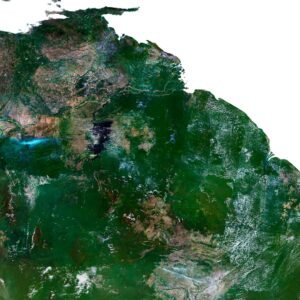
Satellite detail of northern South America showing broad green lowlands, branching rivers and the Caribbean-facing coast.

South America Satellite Map

$10.00
Add to cart
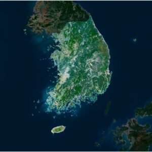
Satellite map highlighting South Korea, with green mountain ranges, pale western lowlands, coastal islands and Jeju to the south.
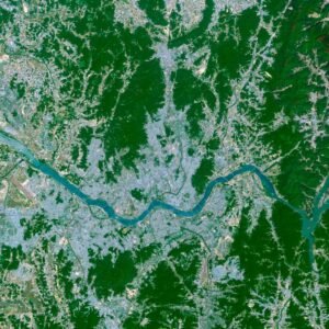
Satellite detail of Seoul showing the Han River winding through pale urban districts between green hills and coastal inlets.

South Korea Satellite Map

$15.00
Add to cart
-50%
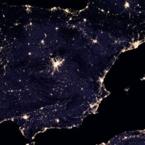
Night satellite map of the Iberian Peninsula showing Spain and Portugal, bright coastal areas, inland light clusters and the Balearic Islands.
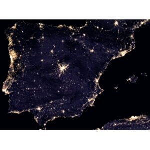
Wide night satellite view of Spain and Portugal showing urban light clusters, surrounding coastlines and northern Morocco across the strait.

Spain Night Satellite Map

$10.00 Original price was: $10.00.$5.00Current price is: $5.00.
Add to cart
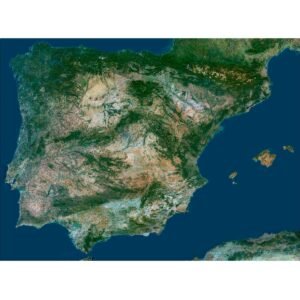
Satellite overview of Spain and Portugal showing the Iberian Peninsula, Balearic Islands and surrounding Atlantic and Mediterranean waters.
Wide satellite view of the Iberian Peninsula showing northern mountains, pale interior plateaus and the nearby North African coast.

Spain Satellite Map

$10.00
Add to cart
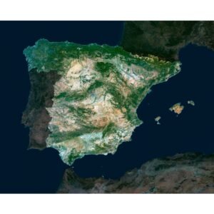
Satellite map highlighting mainland Spain and the Balearic Islands, with pale interior plateaus, greener northern terrain and surrounding seas.
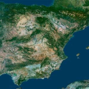
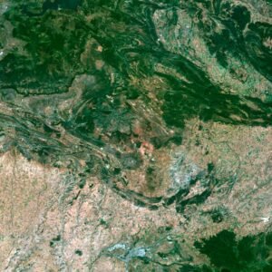
Satellite detail of Spain showing dark folded ridges above broad pale agricultural plains crossed by winding river channels.

Spain Satellite Map

$15.00
Add to cart
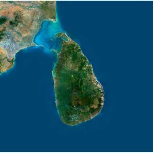
Satellite map of Sri Lanka showing green central highlands, coastal lowlands and turquoise shallows toward southern India.
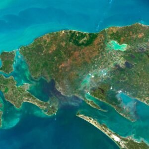
Satellite detail of northern Sri Lanka showing small islands, narrow coastal strips and dark lagoons surrounded by turquoise shallows.

Sri Lanka Satellite Map

$15.00
Add to cart
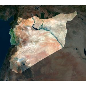
Satellite map highlighting Syria, with a green western strip, pale desert interior and the dark Euphrates river and reservoir system.
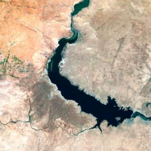
Satellite detail of Syria showing a large branching dark reservoir, green river corridors and bright pale patches among agricultural plains.

Syria Satellite Map

$15.00
Add to cart
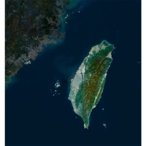
Satellite map of Taiwan showing a green mountain spine, pale western lowlands and the narrow eastern coast.
Satellite detail of northern Taiwan showing a winding river through a pale urban basin enclosed by green hills.

Taiwan Satellite Map

$15.00
Add to cart
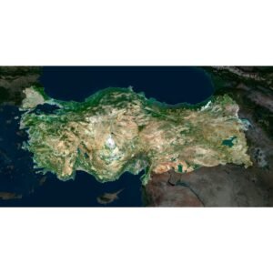
Satellite map highlighting Turkey between the Black Sea and Mediterranean, with pale interior plateaus and greener northern mountain belts.
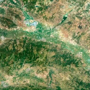
Satellite detail of western Turkey showing broad green valleys, pale settled corridors and surrounding brown mountain ridges.

Turkey Satellite Map

$15.00
Add to cart
Satellite map highlighting Ukraine, with agricultural plains, the Dnipro reservoir chain and the Black Sea coast.
Satellite detail of northern Ukraine showing a winding river through green and pale agricultural fields near the highlighted boundary.

Ukraine Satellite Map

$15.00
Add to cart
United Kingdom 3D map
United Kingdom map

United Kingdom & Ireland 3d map

$32.00
Add to cart
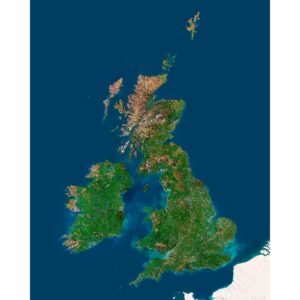
Satellite map highlighting Great Britain and Northern Ireland, with surrounding islands, green lowlands and darker neighbouring land.
Satellite detail of the Scottish Highlands showing pale mountain tops, long dark lochs and greener lowland areas.

United Kingdom Satellite Map

$15.00
Add to cart
-50%
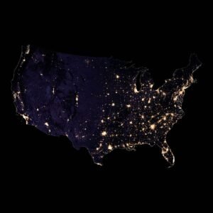
Night satellite map of the contiguous United States on a black background, with dense eastern lights and more widely spaced western clusters.
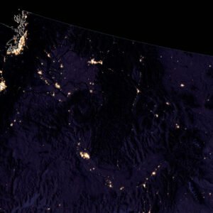
Night satellite detail of the northwestern United States showing bright coastal clusters and sparse lights across the darker inland terrain.

United States Night Satellite Map

$10.00 Original price was: $10.00.$5.00Current price is: $5.00.
Add to cart
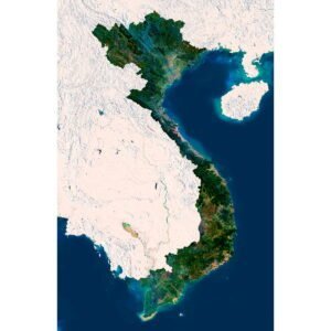
Vietnam 3D map
Vietnam terrain

Vietnam 3D Map

$32.00
Add to cart
  • ←
  • 1
  • 2
  • 3
  • 4
  • 5
  • 6
  • →
🧭 Explore
  • About Us
  • Blog
  • How to Buy
  • Explore Our Terrain Services
  • info@shustrik-maps.com
🌐 Purchase Info
  • Purchase with Crypto / PayPal / VISA
  • Discounts & Special Offers
  • Refund and Returns Policy
  • Terms of Service
  • Shipping and delivery policy
  • Support
🛒 Available On
  • Buy on Cults3D.com
  • Buy on CGtrader.com
  • Buy on RenderHub.com
  • Buy on 3DExport.com
  • FREE 3D MODELS
🗺️ 3D Terrain Models
  • Planets
  • World
  • Continents
  • Peninsulas
  • Islands
  • Countries
  • States of America
  • Canadian Provinces
  • Canyons
  • Cities
🛠️ For Printing & CNC
  • Planets
  • Satellites
  • Continents
  • Countries
  • States of America
  • Islands
  • Art
🗺️ Maps & Imagery
  • Satellite Maps
  • 3D Maps
  • Heightmaps/Raster DEM
  • Historical Maps
  • Night Satellite Map
  • Outline Maps
  • Relief Maps
  • Projections
SHUSTRIK-MAPS 2026 High-quality 3D Topographic Maps & Terrain Models – STL, OBJ, GeoTIFF & more
Pay with Visa, PayPal, or Crypto
Start typing to see products you are looking for.
  • 3D MODELS
    • Solar System
    • World
    • Continents
    • Peninsulas
    • Islands
    • Countries
    • States of America
    • Canadian Provinces
    • Canyons
    • Buildings
    • ART
  • 3D PRINT/CNC MODELS
    • Planets
    • Satellites
    • Continents
    • Countries
    • Islands
    • States of America
    • Other
  • MAPS
    • Satellite Maps
    • Night Satellite Map
    • Heightmaps/Raster DEM
    • Relief Maps
    • 3D Maps
    • Historical Maps
    • Outline Maps
  • A-Z
  • FREE
  • About
  • FAQ
  • How to buy?
  • Site Map HTML
  • Explore Our Terrain Services
Shopping cart
Close