Skip to navigation
Skip to main content
info@shustrik-maps.com
Free conversion to
OBJ/FBX/STL/C4D/STEP
Services
About
FAQ
Site Map
How to buy?
info@shustrik-maps.com
A-Z
3D MODELS
OBJ/FBX/C4D
Solar System
World
Continents
Peninsulas
Islands
Countries
States of America
Canadian Provinces
Parks & Canyons
Fantasy
Other
3D PRINT/CNC MODELS
STL
Planets
Satellites
Continents
Countries
Islands
States of America
Fantasy
Other
MAPS
TIF/PSD/SVG
Satellite Maps
Night Satellite Map
Heightmaps/Raster DEM
Relief Maps
3D Maps
Historical Maps
Outline Maps
Various Map Projections
SERVICES
FREE
Search
Search
0
items
/
$
0.00
Menu
Search
0
items
/
$
0.00
Home
MAPS
Page 3
Showing 51–75 of 128 results
Show sidebar
Default sorting
Sort by popularity
Sort by latest
Sort by price: low to high
Sort by price: high to low
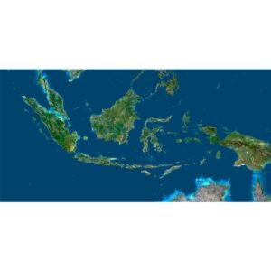
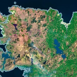
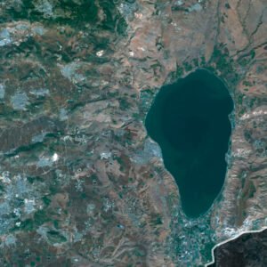
Indonesia Satellite Map
$
15.00
Add to cart
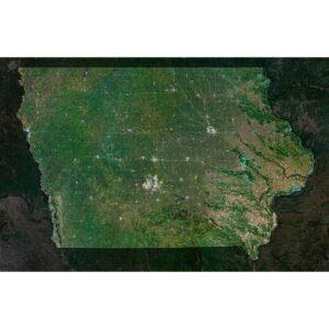
Iowa Satellite Map
$
15.00
Add to cart
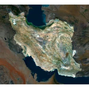
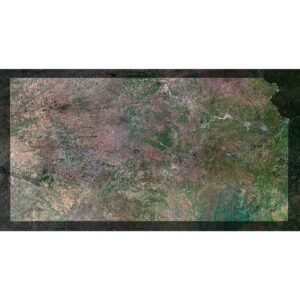
Iran Satellite Map
$
15.00
Add to cart
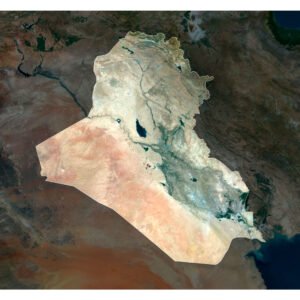
Iraq Satellite Map
$
15.00
Add to cart
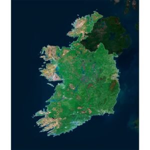
Ireland Satellite Map
$
15.00
Add to cart
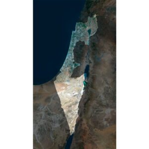
Israel 3D Map
$
32.00
Add to cart
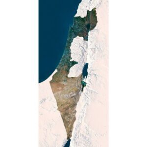
Israel Satellite Map
$
15.00
Add to cart
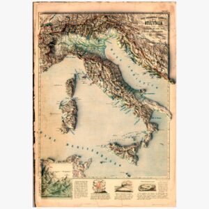
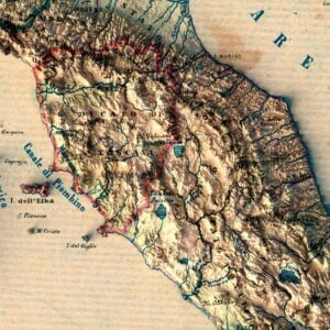
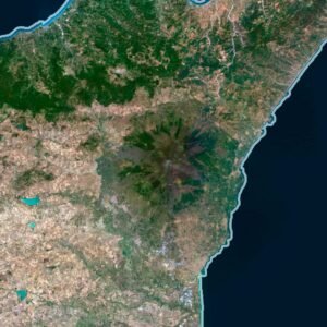
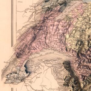
Italy hydrographic and orografic map 1853
Read more
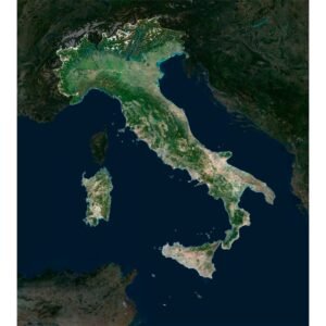
Italy Satellite Map
$
15.00
Add to cart
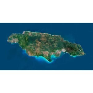
Jamaica Satellite Map
$
15.00
Add to cart
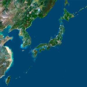
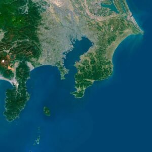
Japan Satellite Map
$
15.00
Add to cart
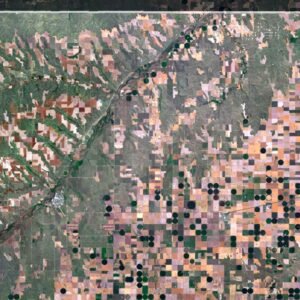
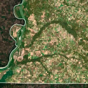
Kansas Satellite Map
$
15.00
Add to cart
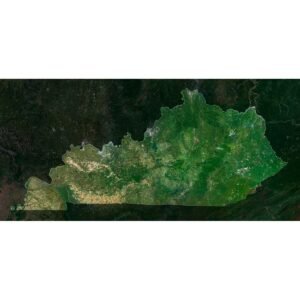
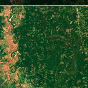
Kentucky Satellite Map
$
15.00
Add to cart
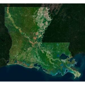
Louisiana Satellite Map
$
15.00
Add to cart
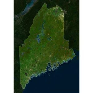
Maine Satellite Map
$
15.00
Add to cart
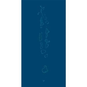
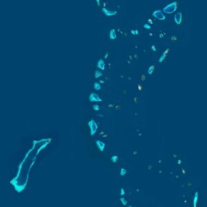
Maldives Satellite Map
$
15.00
Add to cart
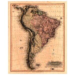
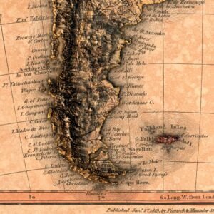
Map of South America 1819
Read more
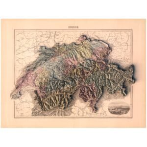
Map of Switzerland 1892
Read more
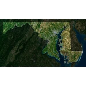
Maryland Satellite Map
$
15.00
Add to cart
Massachusetts Satellite Map
$
15.00
Add to cart
Mexico Satellite Map
$
15.00
Add to cart
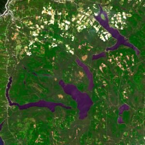
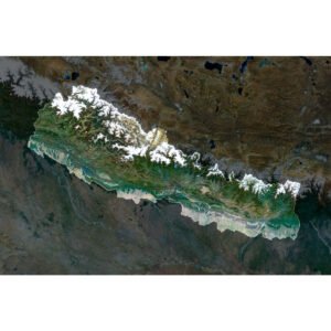
Nepal Satellite Map
$
15.00
Add to cart
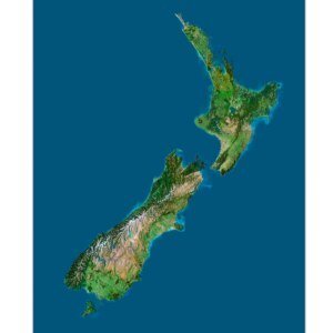
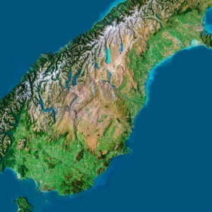
New Zealand 3D Map
$
32.00
Add to cart
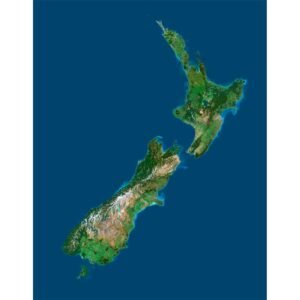
New Zealand Satellite Image
$
15.00
Add to cart
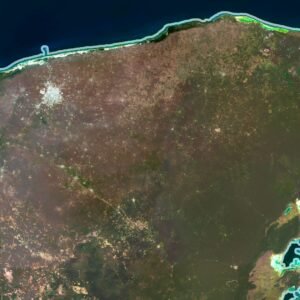
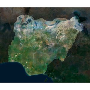
Nigeria Satellite Map
$
15.00
Add to cart
Search
Start typing to see products you are looking for.
3D MODELS
Back
Solar System
World
Continents
Peninsulas
Islands
Countries
States of America
Canadian Provinces
Canyons
Buildings
Fantasy
ART
3D PRINT/CNC MODELS
Back
Planets
Satellites
Continents
Countries
Islands
States of America
Fantasy
Other
MAPS
Back
Satellite Maps
Night Satellite Map
Heightmaps/Raster DEM
Relief Maps
3D Maps
Historical Maps
Outline Maps
A-Z
FREE
About
FAQ
How to buy?
Site Map HTML
Explore Our Terrain Services
Shopping cart
Close
Your amount to pay has been updated
The previous conversion quote has expired. Here is your new quote:
Total
$
You Pay