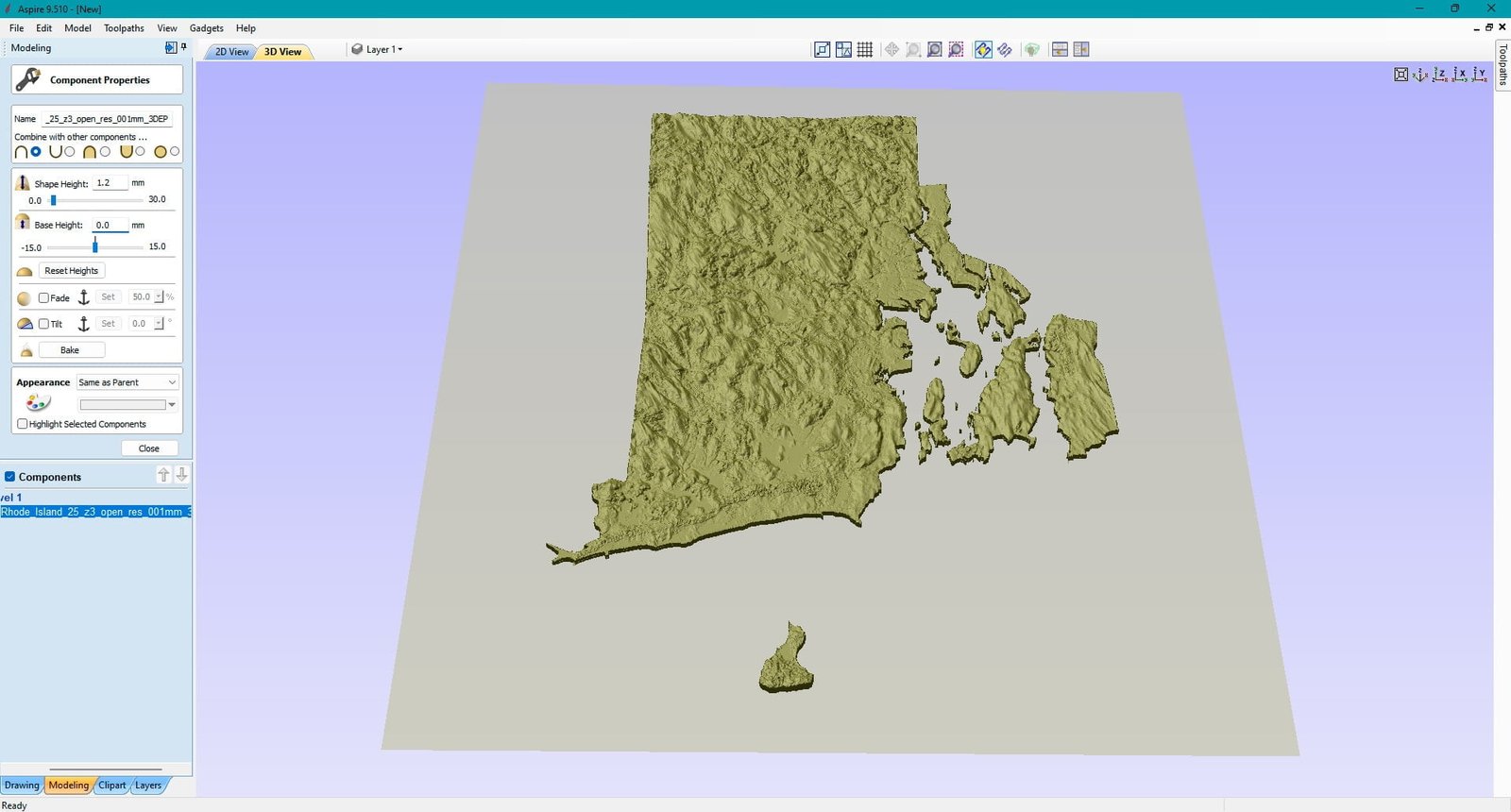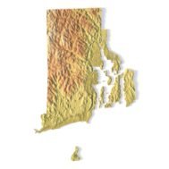
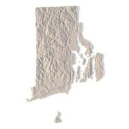
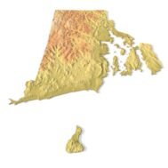
State of Rhode Island STL model
$21.00
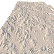
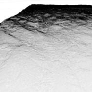
High-polygon 3D model state of Rhode Island in STL format
![]()
- File size: 772 MB
- Model size: 34.54 mm x 51.73 mm x 0.428 mm
- Resolution: 0,01 mm
- Projection: Mercator
- Scaling factor: X — 1; Y — 1; Z — 3
- Polygons: 16 203 572
- Vertices: 8 126 938
- Geometry: Polygonal Tris only
- Base: Open
Rhode Island borders Connecticut to the west, Massachusetts to the north and east, and the Atlantic Ocean to the south via Rhode Island Sound and Block Island Sound; it also shares a small maritime border with New York. Providence is its capital and most populous city.
Rhode Island is nicknamed the Ocean State and has a number of oceanfront beaches. It is mostly flat with no real mountains, and the state’s highest natural point is Jerimoth Hill, 812 feet (247 m) above sea level. The state has two distinct natural regions. Eastern Rhode Island contains the lowlands of the Narragansett Bay, while Western Rhode Island forms part of the New England upland. Rhode Island’s forests are part of the Northeastern coastal forests ecoregion.
What can I use a 3D model in STL format for?
STL model state of Rhode Island can be used for various purposes:
- Making physical models from plastic or photopolymer using 3D printers
- Making models of wood or metal using CNC machines
- Making a high-resolution relief using 3D laser markers
- Making of “master forms” for duplication of products using foam polystyrene or concrete
- Creating computer graphics
- Creation of low-polygonal models for computer games


What is the resolution of the 3D model state of Rhode Island?
With the development of technology, it is becoming possible to produce more and more precise relief models.
For example, there are 3D printers that can print models with a layer height of 0.16 mm, 0.1 mm, 0.05 mm, or even less. These devices require high-quality models. But a higher-quality 3D model contains more polygons and has a larger file size. One of the challenges is to find a compromise between the file size of the STL model, which would be convenient to work with, and the desired quality of the finished product.
The 3D model state of Rhode Island has a fairly large size and many polygons.

How do I change the parameters of the STL model state of Rhode Island?
You can easily resize the model in any program that allows you to import STL files.
In addition to changing the scale in width, length, and height, you can add a higher base. You can also use anti-aliasing tools, add bulk text, reduce the number of polygons, etc.