Illinois Topographic Map STL Model

$21.00

  • File size: 1.03 GB / 527 MB
  • Model size: 178.8 mm x 319.62 mm x 0.566 mm
  • Resolution: 0,06 mm
  • Projection: Mercator
  • Scaling factor: X — 1; Y — 1; Z — 3
  • Polygons: 22 126 420
  • Vertices: 11 074 237
  • Geometry: Polygonal Tris only
  • Base: Open / Closed

We accept VISA, Mastercard, ApplePay, GooglePay and other payment methods

You can also purchase this product using MasterCard/Visa on
RenderHub →  and 3Dexport →.

SKU: SH_3787 Categories: , Tags: , ,
Description

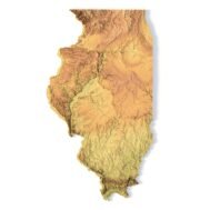
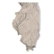
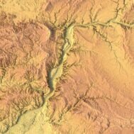
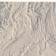
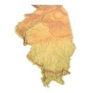
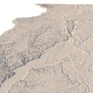
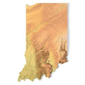
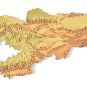
Create Detailed Illinois Terrain Models with This High-Resolution 3D STL

The Illinois Topographic Map STL model offers a high-resolution representation of the state’s topography and unique geographic features. This 3D model is ideal for creating physical relief maps from wood, metal, plastic, or concrete. Whether for educational purposes, landform visualization, or professional GIS projects, this model provides accurate elevation data for precise terrain modeling, compatible with 3D printers, CNC machines, and laser engravers.

Features of the Illinois Topographic STL Model

  • Accurate elevation data capturing Illinois’ varied landforms.
  • Compatible with FDM/SLA 3D printers for creating detailed terrain models.
  • Designed for CNC machining to craft wood or metal relief maps.
  • Supports high-precision laser engraving for metal surface detailing.

Applications of the Illinois Topographic Map STL

This STL file is ideal for creating raised relief maps and physical terrain models of Illinois. Whether used for landform visualization, educational tools, or professional geographic analysis, this model provides highly accurate elevation data. It is especially useful for those working in GIS and mapping.

How to Use the Illinois Terrain STL Model

The Illinois topographic map STL can be imported into popular CAD and GIS software for further customization. Its detailed elevation data and high-resolution format make it perfect for projects involving 3D printing, CNC machining, or laser engraving, ensuring accurate representations of Illinois’ terrain.