 Solar System
 World
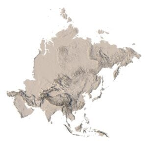
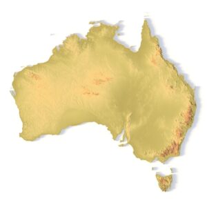
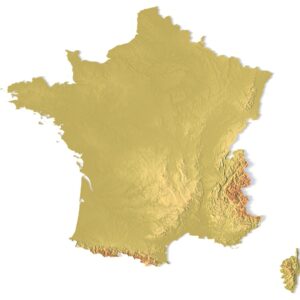
World Continents
 Peninsulas
 Islands
 Countries
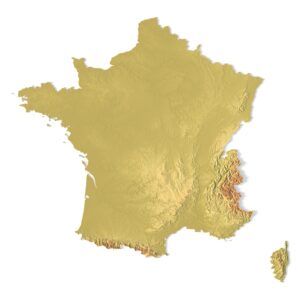
 States of America
 Canadian Provinces
 Parks & Canyons
 Fantasy
 Other
Other Planets
 Satellites
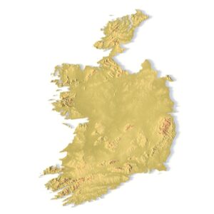
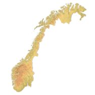
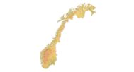
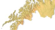
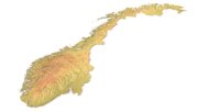
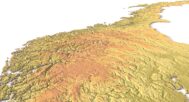
The Norway Topographic Map is a high-resolution 3D terrain model based on an accurate digital elevation model (DEM). It faithfully represents the stunning fjords, mountains, and coastal landscapes of Norway, making it an excellent choice for designers, educators, cartographers, and geography enthusiasts.


Topographic map New Zealand STL model
Original price was: $21.00.$17.00Current price is: $17.00.
Norway Topographic Map – 3D Model for 3D Printing & CNC Carving
$15.00
High-polygon 3D model of Norway in STL format
![]()
- File size: 77.7 MB
- Polygons: 1 630 058
- Vertices: 816 694
- Geometry: Polygonal Tris only
- Model size: 184 mm x 218mm x 0.81 mm
- Projection: Mercator
- Scaling factor X:Y:Z: 1:1:4
- Base: Closed
Description
This STL file is fully compatible with FDM and SLA 3D printers, as well as CNC routers. You can 3D print a realistic map of Norway in plastic or carve it from wood or metal. It’s ideal for educational models, souvenir production, landscape projects, and terrain visualization.
This topographic model can serve as a striking element in a design studio, classroom, or architectural presentation. With precise elevation modeling and high visual fidelity, it inspires creative use and brings Norway’s breathtaking landscapes to life. Every terrain feature is carefully modeled to ensure your print looks professional and compelling.


Why choose this model:
✔ Realistic Topography Based on Geospatial Data
Built from a digital elevation model (DEM) for real-world accuracy. Perfect for 3D terrain visualization and mapping projects.
✔ Ready for 3D Printing and CNC Machining
Clean STL file optimized for printing in PLA, resin, wood, aluminum, and more. Usable at different scales.
✔ Designed for Education, Design & Creativity
Use this model in geography classes, architecture layouts, art pieces, and custom souvenir production.
Sample Use Cases:
-
3D print a raised-relief map of Norway for geography lessons
-
CNC carve Norway’s fjords and mountains into wood or metal for educational panels
-
Create an elevation-aware terrain layout for architectural planning
-
Produce Norway-themed wall art or display models
-
Design unique gifts and geographic jewelry
Related products
$21.00


Original price was: $10.00.$7.30Current price is: $7.30.