")
")
")
")
")
")
")
")
")

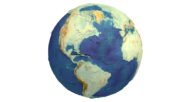

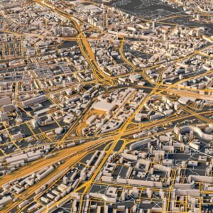
3D Printed Earth STL Model with Rivers – Detailed Topography for 3D Printing & CNC
$20.00
![]()
- File size: 1,5 GB/900 MB/300 MB
- Polygons: 31 457 280/19 169 920/6 200 220
- Model size: 215 mm х 215 mm х 215 mm
- Geometry: Polygonal Tris only
- Inside: hollow
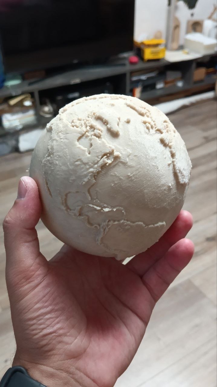
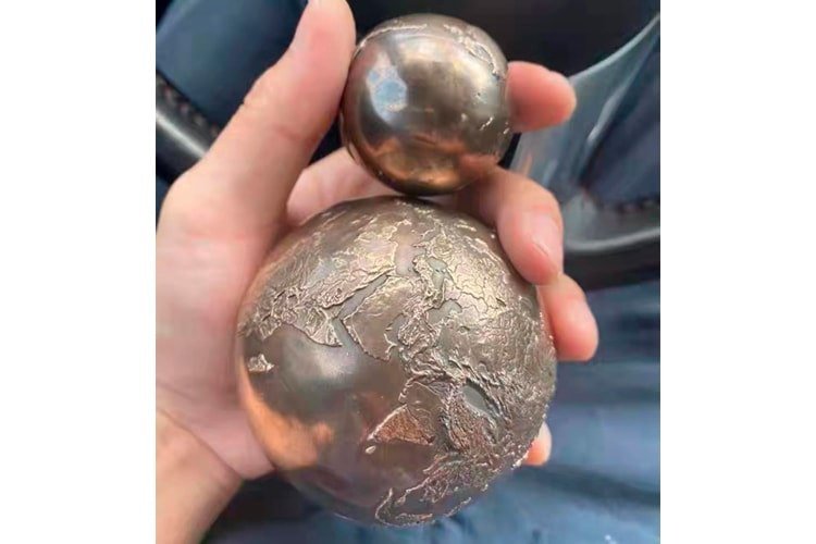
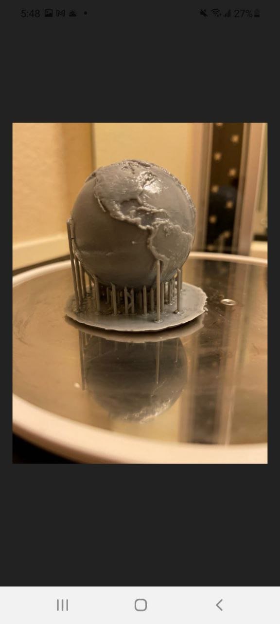
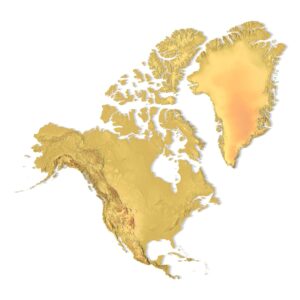
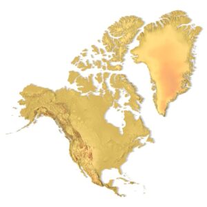
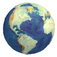
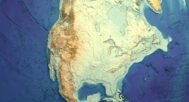
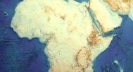
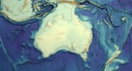
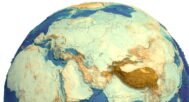
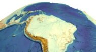
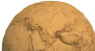
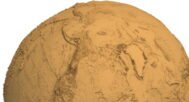
3D Printed Earth STL Model with rivers is a highly detailed and geographically rich representation of our planet, featuring more realistic terrain height and an integrated global river system. This version prioritizes detail density and scientific expressiveness, making it more informative and visually complex than standard relief models.
Unlike exaggerated terrain models, this Earth STL uses moderate elevation scaling, allowing rivers, basins, plains, and mountain ranges to coexist naturally in a balanced and realistic composition.
Detailed Earth Topography with River Network
The model includes engraved major rivers and drainage systems, adding an extra layer of geographic information. This makes the STL especially valuable for education, research visualization, and premium display models.
With a 0.05 mm geometric resolution and a dense polygonal structure, the model is optimized for high-quality printing on resin, SLA, and high-precision FDM printers, as well as CNC machining.
Applications
- 3D Printing: High-detail Earth globes with rivers
- Education & Science: Teaching hydrology and global geography
- Professional Displays: Museums, studios, exhibitions
- Cartographic & Design Projects: Accurate Earth terrain models
Key Features
- Integrated global river system
- More realistic terrain height
- High-resolution Earth STL model
- Suitable for 3D printing and CNC
- Scalable and editable STL geometry