 Solar System
 World
World Continents
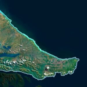
 Peninsulas
 Islands
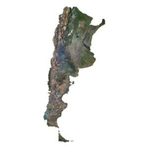
 Countries
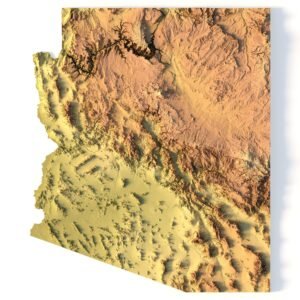
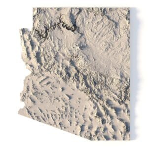
 States of America
 Canadian Provinces
 Parks & Canyons
 Fantasy
 Other
Other Planets
 Satellites
$15.00


$15.00


$21.00

Original price was: $35.00.$28.00Current price is: $28.00.


$15.00
Original price was: $40.00.$28.00Current price is: $28.00.
Original price was: $40.00.$28.00Current price is: $28.00.

$15.00


$35.00
$10.00
$21.00