Solar System
 World
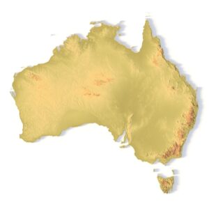
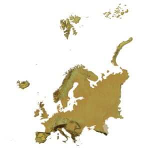
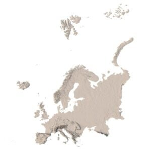
World Continents
 Peninsulas
 Islands
 Countries
 States of America
 Canadian Provinces
 Parks & Canyons
 Fantasy
 Other
Other Planets
 Satellites


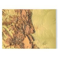
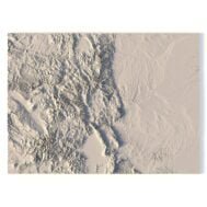
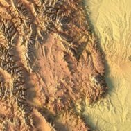
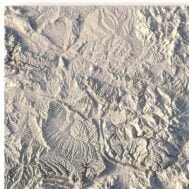
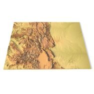
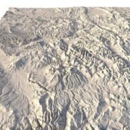
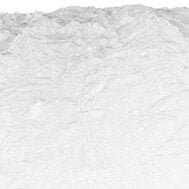
Create Detailed Colorado Terrain Models with This 3D STL
The Colorado Map Topographic STL model provides highly detailed terrain models of the state’s iconic landscape. Ideal for creating raised relief maps from materials like wood, metal, plastic, or concrete, this STL file is perfect for professionals and hobbyists interested in outdoor recreation, geospatial analysis, or landscape visualization. Whether for personal use or professional applications, this model brings the state’s varied landforms to life with precision elevation data.