


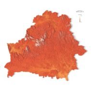
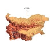
Relief map of Belarus
High-resolution relief map of Belarus in PSD format
![]()
- Linear size: 84.6 x 84.6 cm
- Pixel resolution: 100 MPx (10 000 px x 10 000 px)
- File size: ~800 MB
- Color Depth: 16 Bit/channel
- Color model: CMYK
- ICC-profile: U.S. Web Coated (SWOP) v2
- Compression: No compression
- Print resolution: 300 DPI
- Scaling factor: X – 0.0000001; Y – 0.0000001; Z – 0.0000015
- Projection: Mercator
Description
Belarus is a landlocked country located in Eastern Europe. It borders 5 other countries. First, Russia is located to the northeast, Latvia to the north, and Lithuania to the northwest. Then, Belarus borders Poland to the west, and Ukraine to the south. Belarus occupies an area of 207,600 square kilometers (80,200 sq mi) which is the 13th largest in Europe. The capital city is Minsk, close to the geographic center of the country. Also, it’s one of the least wealthy countries in all of Europe per capita.

Color design for the relief map of Belarus
You can change the color scheme of the relief map yourself in Photoshop or any other graphics editor.
You can also add your own text or additional graphics.


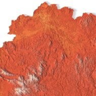
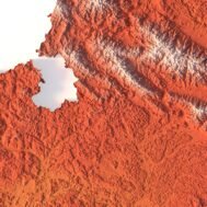
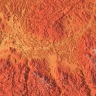
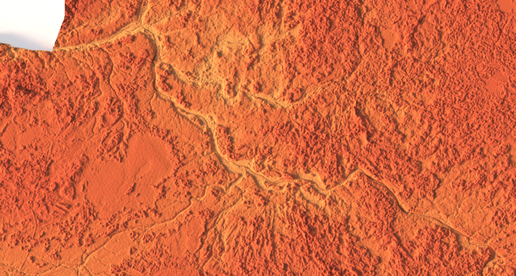
Relief map of Belarus at 100% zoom
Related products


Original price was: $21.00.$17.00Current price is: $17.00.