
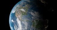
Earth 3D Model with High-Resolution Satellite Maps and DEM Data
$35.00
![]()
![]()
3D Model
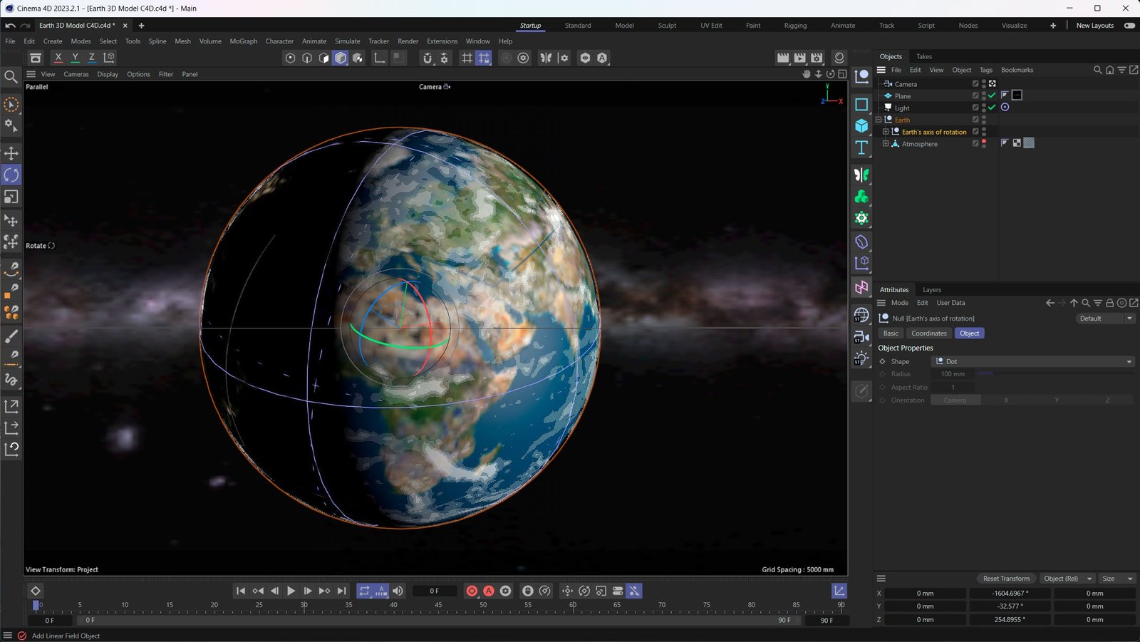
- Format: C4D / OBJ
- File size (unzipped): 1.1 MB / 1.05 MB
- Polygons: 2400
- Vertices: 2402
- Geometry: Polygonal Quads only
- UV layer: Yes
Textures
- Earth Satellite Map: TIF (150 MB). Resolution: 12288*12288*48b
- Earth Normal Map: TIF (49 MB). Resolution: 12288*12288*48b
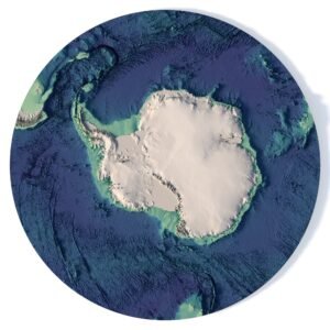
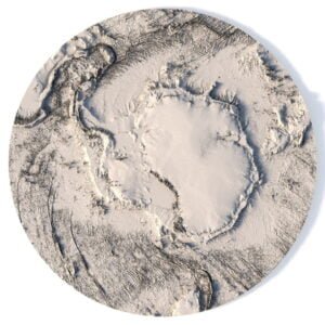
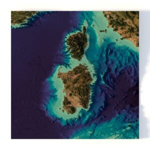
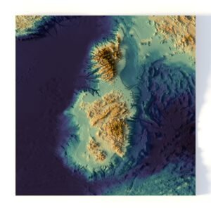
- Earth DEM: TIF (83 MB). Resolution: 12288*12288*48b
- Earth Night Map: TIF (15 MB). Resolution: 12288*12288*48b
- Earth Specular: TIF (13 MB). Resolution: 12288*12288*48b
- Earth Clouds Map: TIF (280 MB). Resolution: 12288*12288*48b
- Earth Clouds Normal Map: TIF (180 MB). Resolution: 12288*12288*48b
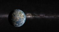
- Milky Way: TIF (27 MB). Resolution: 12288*12288*48b
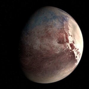
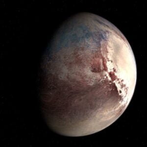
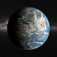
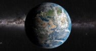
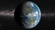
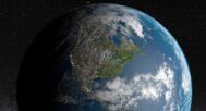
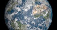
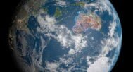
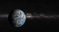
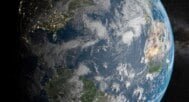
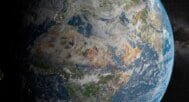
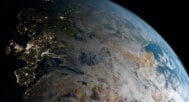
A professional Earth 3D model with 12K satellite textures, DEM elevation data, normal maps, night lights, clouds, and specular maps. Designed for 3D rendering, scientific visualization, cartography, education, and digital content creation. Compatible with OBJ and C4D workflows.
Professional Earth 3D Model for Visualization and Rendering
This Earth 3D model is a complete high-resolution planetary dataset rather than a simple globe. It combines accurate geometry with 12K satellite imagery, digital elevation model (DEM) data, and a full set of physically based texture maps. The model is suitable for professional use in 3D visualization, cartography, education, research, simulation, and cinematic rendering.
The globe geometry is optimized and UV-mapped to minimize distortion at the poles, ensuring clean texture projection and reliable results in close-up renders and large-scale visualizations.
Key Features
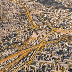
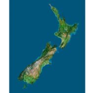
- High-Resolution Earth Satellite Textures (12K)
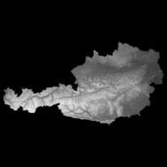
Ideal for detailed renders, close-ups, and large-format visualization. - Accurate Earth DEM Data
Enables realistic terrain relief and elevation-based shading. - Optimized Globe Geometry
Polygonal quads only, clean topology, UV layer included. - Physically Based Texture Set
Includes albedo, normal, specular, night lights, and cloud layers. - Cross-Platform Compatibility
Works seamlessly in major 3D applications using OBJ or C4D formats.
Use Cases
- 3D Rendering & Visualization
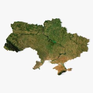
Create realistic Earth visualizations for presentations, films, and digital media. - Cartography & Geospatial Projects
Use satellite maps and DEM data for educational and analytical purposes. - Education & Science
Demonstrate Earth’s surface, elevation, and global geography in a clear 3D form. - Game Development & Simulation
Suitable as a base globe or reference asset for planetary systems. - Graphic Design & Motion Graphics
High-quality textures support cinematic lighting and compositing.
Color Texture

Normal Map

Night Map

Earth DEM

Specular Map

Clouds Map

Have a Question?
Do you only need renderings of Earth?
Do you require an Earth 3D model in BLEND, OBJ or FBX format?
FAQ
A 3D map of the world globe is a digital representation of Earth’s surface in three dimensions, showcasing its geographic features like continents, oceans, and topography. This 3D model of the planet Earth includes a detailed map of the world, featuring high-resolution textures and accurate terrain mapping, ideal for both educational and professional uses.
Absolutely! Once your payment is completed, you can download the 3D Earth model instantly. The model will be available in high-quality formats, ready for immediate use in your projects.
Related products