Skip to navigation Skip to main content
shustrikmaps@gmail.com
Free conversion to OBJ/FBX/STL/C4D/STEP
  • Services
  • About
  • FAQ
  • Site Map
  • How to buy?
shustrikmaps@gmail.com
Logo shustrik maps
  • A-Z
  • 3D MODELSOBJ/FBX/C4D
    • Solar SystemSolar System
    • WorldWorld
    • ContinentsContinents
    • PeninsulasPeninsulas
    • IslandsIslands
    • CountriesCountries
    • States of AmericaStates of America
    • Canadian ProvincesCanadian Provinces
    • Parks & CanyonsParks & Canyons
    • OtherOther
  • 3D PRINT/CNC MODELSSTL
    • PlanetsPlanets
    • SatellitesSatellites
    • ContinentsContinents
    • CountriesCountries
    • IslandsIslands
    • States of AmericaStates of America
    • OtherOther
  • MAPSTIF/PSD/SVG
    • Satellite Maps
    • Night Satellite Map
    • Heightmaps/Raster DEM
    • Relief Maps
    • 3D Maps
    • Historical Maps
    • Outline Maps
    • Various Map Projections
  • SERVICES
  • TOOLS
    • Cube maps converter
  • FREE
Search
0 items / $0.00
Menu
3D Models and 3D Maps
Search
0 items / $0.00
Home MAPS Satellite Maps US States

Showing all 19 results
Show sidebar
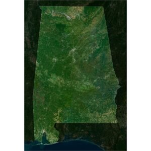
Satellite map highlighting Alabama, with green inland terrain, a short Gulf coastline and darker neighbouring states.
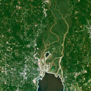
Satellite detail of southern Alabama showing a broad coastal bay, branching river channels and pale urban areas.

Alabama Satellite Map

$15.00
Add to cart
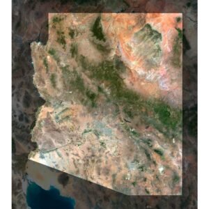
Satellite map highlighting Arizona, with orange northern terrain, pale southern deserts and a dark central mountain belt.
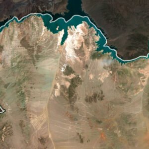
Satellite detail of northwestern Arizona showing blue reservoir arms, pale desert ridges and a bright state outline.

Arizona Satellite Map

$15.00
Add to cart
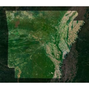
Satellite map highlighting Arkansas, with greener western uplands and pale agricultural lowlands along the eastern river boundary.
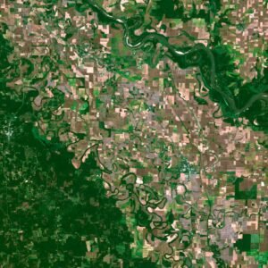
Satellite detail of Arkansas showing broad river meanders, oxbow shapes and a dense mosaic of rectangular fields.

Arkansas Satellite Map

$15.00
Add to cart
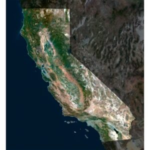
Satellite map highlighting California, with its long Pacific coast, central valley, mountains and pale southern desert.
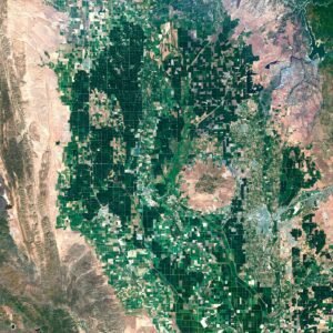
Satellite detail of California's Central Valley showing rectangular green fields between rugged mountain margins.

California Satellite Map

$15.00
Add to cart
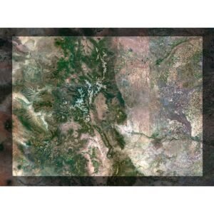
Satellite map highlighting Colorado, with snowy western mountain ranges and the paler eastern plains.
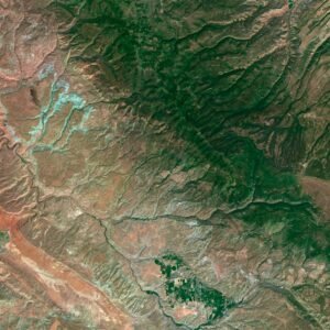
Satellite detail of southwestern Colorado showing branching reservoir arms, red-brown slopes and long parallel ridges.

Colorado Satellite Map

$15.00
Add to cart
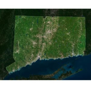
Satellite map highlighting Connecticut, with green inland terrain, pale urban corridors and the Long Island Sound coastline.
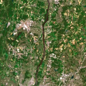
Satellite detail of Connecticut showing a broad river valley, pale settlements and small blue lakes amid green land.

Connecticut Satellite Map

$15.00
Add to cart
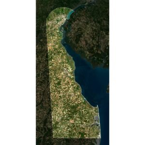
Satellite map highlighting Delaware, with its curved northern boundary, Delaware Bay coast and patchwork inland fields.
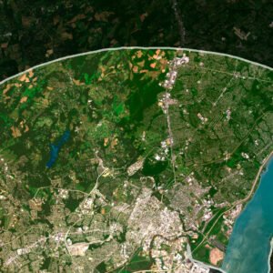
Satellite detail of northern Delaware showing the curved state boundary, a broad river and dense pale urban areas.

Delaware Satellite Map

$15.00
Add to cart
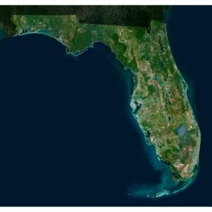
Satellite map highlighting Florida, with the Panhandle, long peninsula, inland lakes and the Florida Keys.
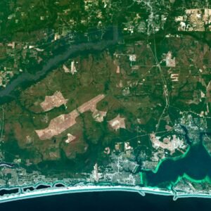
Satellite detail of the Florida Panhandle showing pale barrier beaches, turquoise bays and darker inland woodland.

Florida Satellite Map

$15.00
Add to cart
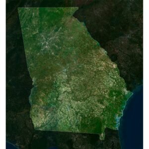
Satellite map highlighting the US state of Georgia, with greener northern terrain and its short Atlantic coastline.
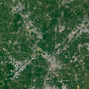
Satellite detail of Georgia, USA, showing pale urban areas and roads within a green forested landscape.

Georgia Satellite Map

$15.00
Add to cart
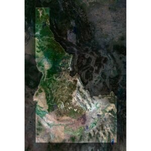
Satellite map highlighting Idaho, with its narrow northern extension, rugged central ranges and pale southern plains.
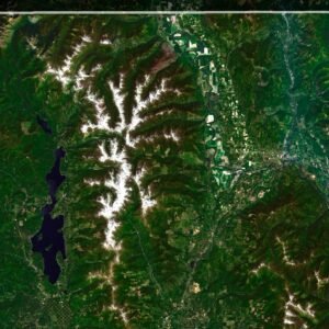
Satellite detail of northern Idaho showing elongated dark lakes and white mountain ridges inside the highlighted state outline.

Idaho Satellite Map

$15.00
Add to cart
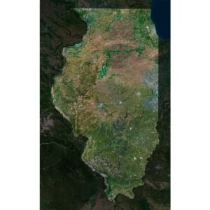
Satellite map highlighting Illinois, with agricultural plains, winding river boundaries and a short Lake Michigan shoreline.
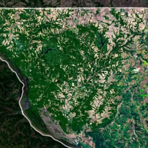
Satellite detail of northwestern Illinois showing a river boundary, wooded drainage lines and pale agricultural fields.

Illinois Satellite Map

$15.00
Add to cart
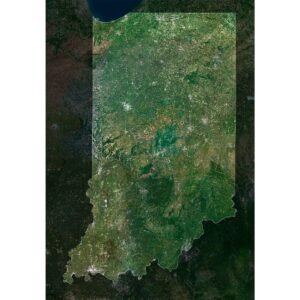
Satellite map highlighting Indiana, with northern agricultural plains, greener southern terrain and the winding Ohio River boundary.
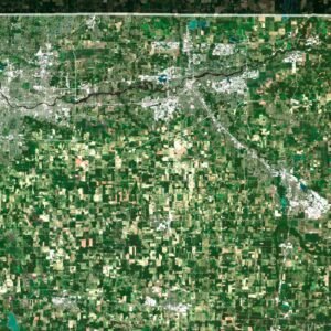
Satellite detail of northern Indiana showing pale urban corridors across a regular green and tan field grid.

Indiana Satellite Map

$15.00
Add to cart
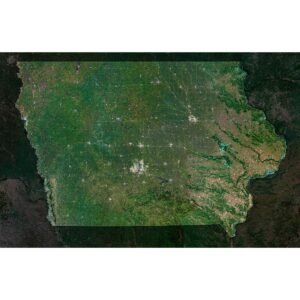
Satellite map highlighting Iowa, with a green agricultural interior and the broad river boundary along its eastern edge.
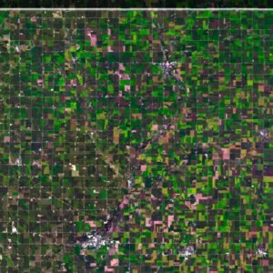
Satellite detail of northwestern Iowa showing a dense rectangular field mosaic and the highlighted state boundary.

Iowa Satellite Map

$15.00
Add to cart
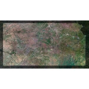
Satellite map highlighting Kansas, with broad agricultural plains, subtle river corridors and straight northern and southern edges.
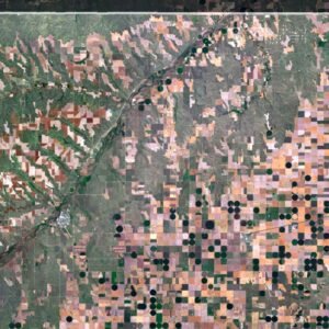
Satellite detail of northwestern Kansas showing dark circular fields among rectangular plots beside the state boundary.

Kansas Satellite Map

$15.00
Add to cart
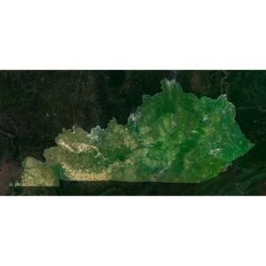
Satellite map highlighting Kentucky, with paler western farmland, greener eastern uplands and a winding northern river edge.
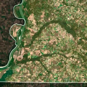
Satellite detail of western Kentucky showing large river bends beside a mosaic of pale fields and greener woodland.

Kentucky Satellite Map

$15.00
Add to cart
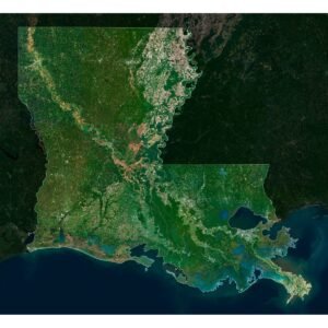
Satellite map highlighting Louisiana, with winding rivers, coastal lakes and the Mississippi delta projecting into the Gulf.
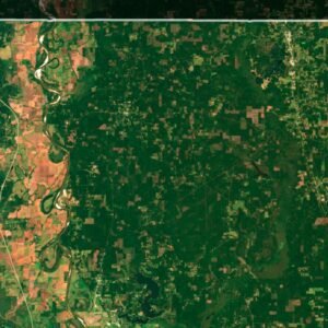
Satellite detail of northern Louisiana showing a narrow winding river corridor within green land and scattered pale fields.

Louisiana Satellite Map

$15.00
Add to cart
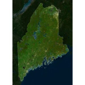
Satellite map highlighting Maine, with a green forested interior, numerous dark lakes and an indented Atlantic coast.
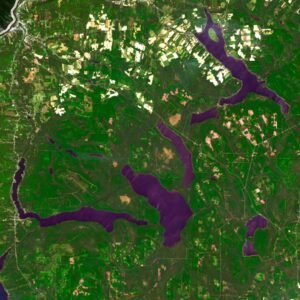
Satellite detail of northern Maine showing irregular dark lakes and pale clearings near the highlighted boundary.

Maine Satellite Map

$15.00
Add to cart
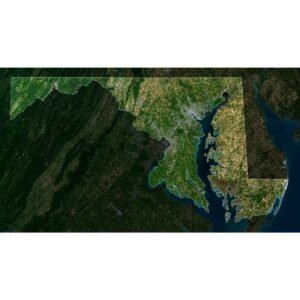
Satellite map highlighting Maryland, with its narrow western extension and divided land around Chesapeake Bay.
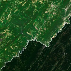
Satellite detail of western Maryland showing a winding river boundary between pale farmland and darker parallel ridges.

Maryland Satellite Map

$15.00
Add to cart
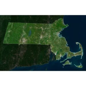
Satellite map highlighting Massachusetts, including Cape Cod and offshore islands against darker neighbouring land.
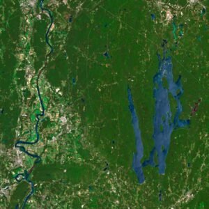
Satellite detail of Massachusetts showing a winding river corridor beside a long blue reservoir and green woodland.

Massachusetts Satellite Map

$15.00
Add to cart
🧭 Explore
  • About Us
  • Blog
  • How to Buy
  • Explore Our Terrain Services
  • info@shustrik-maps.com
🌐 Purchase Info
  • Purchase with Crypto / PayPal / VISA
  • Discounts & Special Offers
  • Refund and Returns Policy
  • Terms of Service
  • Shipping and delivery policy
  • Support
🛒 Available On
  • Buy on Cults3D.com
  • Buy on CGtrader.com
  • Buy on RenderHub.com
  • Buy on 3DExport.com
  • FREE 3D MODELS
🗺️ 3D Terrain Models
  • Planets
  • World
  • Continents
  • Peninsulas
  • Islands
  • Countries
  • States of America
  • Canadian Provinces
  • Canyons
  • Cities
🛠️ For Printing & CNC
  • Planets
  • Satellites
  • Continents
  • Countries
  • States of America
  • Islands
  • Art
🗺️ Maps & Imagery
  • Satellite Maps
  • 3D Maps
  • Heightmaps/Raster DEM
  • Historical Maps
  • Night Satellite Map
  • Outline Maps
  • Relief Maps
  • Projections
SHUSTRIK-MAPS 2026 High-quality 3D Topographic Maps & Terrain Models – STL, OBJ, GeoTIFF & more
Pay with Visa, PayPal, or Crypto
Start typing to see products you are looking for.
  • 3D MODELS
    • Solar System
    • World
    • Continents
    • Peninsulas
    • Islands
    • Countries
    • States of America
    • Canadian Provinces
    • Canyons
    • Buildings
    • ART
  • 3D PRINT/CNC MODELS
    • Planets
    • Satellites
    • Continents
    • Countries
    • Islands
    • States of America
    • Other
  • MAPS
    • Satellite Maps
    • Night Satellite Map
    • Heightmaps/Raster DEM
    • Relief Maps
    • 3D Maps
    • Historical Maps
    • Outline Maps
  • A-Z
  • FREE
  • About
  • FAQ
  • How to buy?
  • Site Map HTML
  • Explore Our Terrain Services
Shopping cart
Close