info@shustrik-maps.com
Free conversion to OBJ/FBX/STL/C4D/STEP
  • Services
  • About
  • FAQ
  • Site Map
  • How to buy?
info@shustrik-maps.com
Logo shustrik maps
  • A-Z
  • 3D MODELSOBJ/FBX/C4D
    • Solar SystemSolar System
    • WorldWorld
    • ContinentsContinents
    • PeninsulasPeninsulas
    • IslandsIslands
    • CountriesCountries
    • States of AmericaStates of America
    • Canadian ProvincesCanadian Provinces
    • Parks & CanyonsParks & Canyons
    • FantasyFantasy
    • OtherOther
  • 3D PRINT/CNC MODELSSTL
    • PlanetsPlanets
    • SatellitesSatellites
    • ContinentsContinents
    • CountriesCountries
    • IslandsIslands
    • States of AmericaStates of America
    • FantasyFantasy
    • OtherOther
  • MAPSTIF/PSD/SVG
    • Satellite Maps
    • Night Satellite Map
    • Heightmaps/Raster DEM
    • Relief Maps
    • 3D Maps
    • Historical Maps
    • Outline Maps
    • Various Map Projections
  • SERVICES
  • FREE
Search
0 items / $0.00
Menu
3D Models and 3D Maps
0 items / $0.00

Common

HomeArchive by Category "Common"
Convert C4D to OBJ
29 Mar
Common

How to convert a model from C4D to OBJ?

Posted by sychev23021983
August 5, 2025
When working with 3D models, it's essential to convert them between different formats to ensure compatibility across various programs a...
Continue reading
DEM DSM DTM Prev
23 Jan
Common

Elevation Modeling – which to choose DTM, DSM or DEM?

Posted by sychev23021983
August 5, 2025
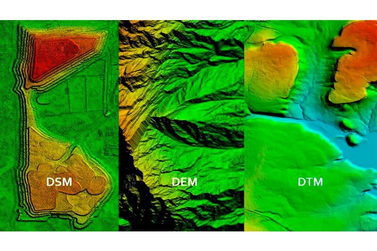
Differences Between DTM, DSM and DEM for 3D Terrain Modeling Digital terrain models (DTM), digital surface models (DSM), and digital e...
Continue reading
OBJ file format
26 Aug
Common

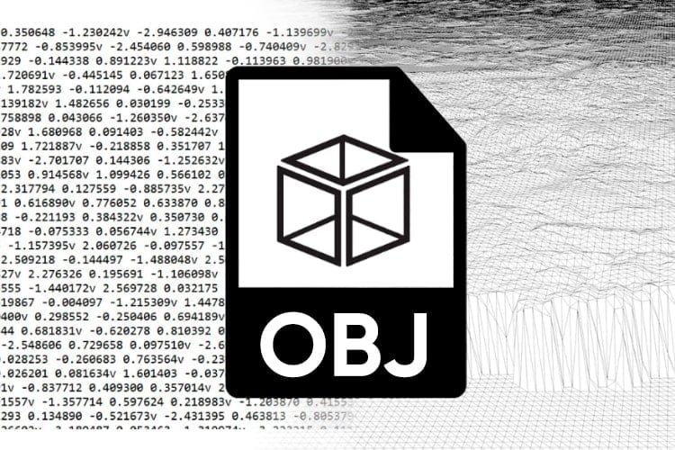
Understanding the OBJ File Format – A Simple Explanation

Posted by sychev23021983
January 28, 2024
The OBJ file format stands as one of the most crucial file formats in 3D printing and 3D graphics applications. It serves as a preferre...
Continue reading
STL file format
26 Apr
Common

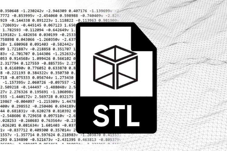
What is an STL File? Explaining the STL Format

Posted by sychev23021983
January 28, 2024
An STL file, short for Stereolithography, is a widely used file format for 3D printing and CNC machining. Essentially, an STL file stor...
Continue reading
FBX file format
26 Jan
Common

Understanding the FBX File Format: A Simple Explanation

Posted by sychev23021983
January 28, 2024
The FBX (Filmbox) file format is among the many file formats used in 3D modeling and graphic design software. Initially developed by Ka...
Continue reading
Cinema 4D vs STL Formats for 3D Projects
10 Oct
Common

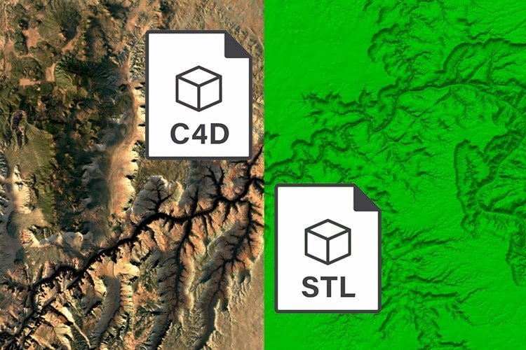
The Difference Between C4D and STL Models

Posted by sychev23021983
February 10, 2024
On my website, I offer models in .c4d and .stl formats, which are sufficient for most of my 3D projects. When I need to render a scene ...
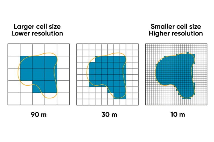
Continue reading
DEM RESOLUTION
23 Jul
Common

DEM Resolution

Posted by sychev23021983
October 18, 2024
DEM spatial resolution - what does it mean for 3D designers? Digital Elevation Models (DEMs) play a key role in creating accurate and ...
Continue reading
Close

Categories

  • Common
  • Where is it on the map?

Recent Posts

  • Where is Iceland on the Map?
  • Where is Vietnam on the map?
  • Where is Yemen on the map?
  • Where is Australia on the Map?
  • How to convert a model from C4D to OBJ?

Archives

  • August 2024
  • March 2024
  • January 2023
  • August 2022
  • April 2022
  • January 2022
  • October 2021
  • July 2021
🧭 Explore
  • About Us
  • Blog
  • How to Buy
  • Explore Our Terrain Services
  • info@shustrik-maps.com
🌐 Purchase Info
  • Purchase with Crypto / PayPal / VISA
  • Discounts & Special Offers
  • Refund and Returns Policy
  • Terms of Service
  • Shipping and delivery policy
  • Support
🛒 Available On
  • Buy on Cults3D.com
  • Buy on CGtrader.com
  • Buy on RenderHub.com
  • Buy on 3DExport.com
  • FREE 3D MODELS
🗺️ 3D Terrain Models
  • Planets
  • World
  • Continents
  • Peninsulas
  • Islands
  • Countries
  • States of America
  • Canadian Provinces
  • Canyons
  • Cities
  • Fantasy
  • Minecraft
🛠️ For Printing & CNC
  • Planets
  • Satellites
  • Continents
  • Countries
  • States of America
  • Islands
  • Fantasy
  • Art
🗺️ Maps & Imagery
  • Satellite Maps
  • 3D Maps
  • Elevation Maps
  • Heightmaps/Raster DEM
  • Historical Maps
  • Night Satellite Map
  • Outline Maps
  • Relief Maps
  • Projections
SHUSTRIK-MAPS 2026 High-quality 3D Topographic Maps & Terrain Models – STL, OBJ, GeoTIFF & more
  • 3D MODELS
    • Back
    • Solar System
    • World
    • Continents
    • Peninsulas
    • Islands
    • Countries
    • States of America
    • Canadian Provinces
    • Canyons
    • Buildings
    • Fantasy
    • ART
  • 3D PRINT/CNC MODELS
    • Back
    • Planets
    • Satellites
    • Continents
    • Countries
    • Islands
    • States of America
    • Fantasy
    • Other
  • MAPS
    • Back
    • Satellite Maps
    • Night Satellite Map
    • Heightmaps/Raster DEM
    • Relief Maps
    • 3D Maps
    • Historical Maps
    • Outline Maps
  • A-Z
  • FREE
  • About
  • FAQ
  • How to buy?
  • Site Map HTML
  • Explore Our Terrain Services
Shopping cart
Close
Sidebar
Your amount to pay has been updated
The previous conversion quote has expired. Here is your new quote:
Total
$
You Pay
Back to checkout
Place Order