Solar System
 World
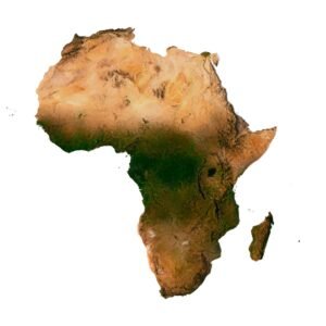
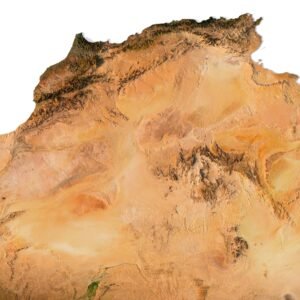
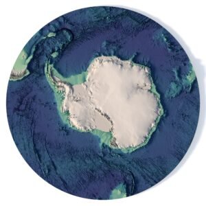
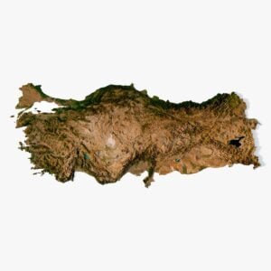
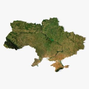
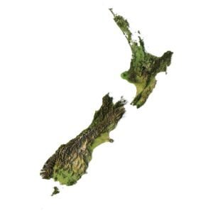
World Continents
 Peninsulas
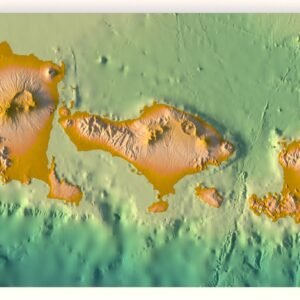
 Islands
 Countries
 States of America
 Canadian Provinces
 Parks & Canyons
 Fantasy
 Other
Other


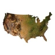
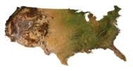

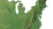
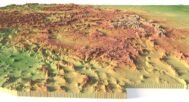
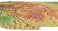
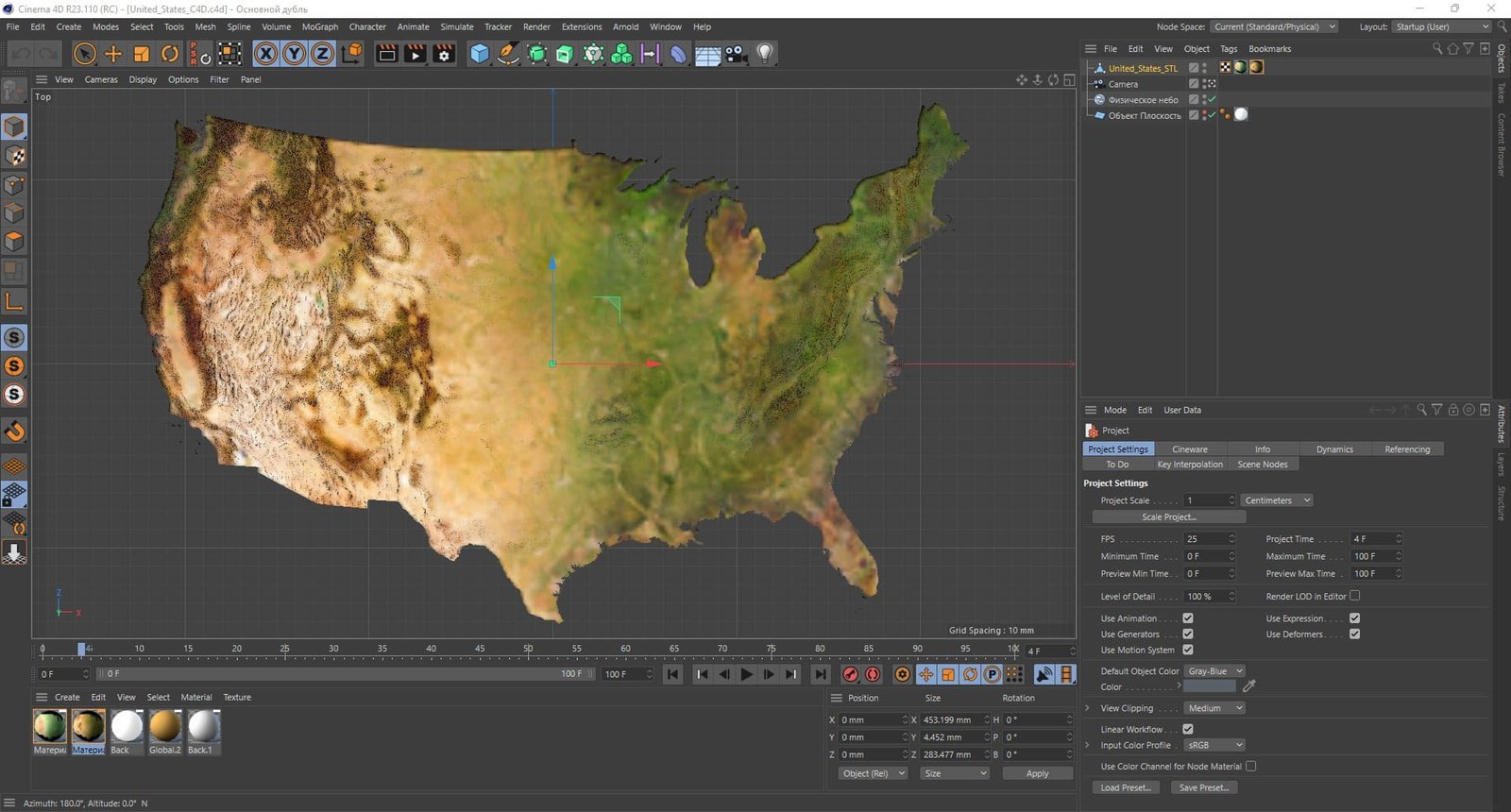
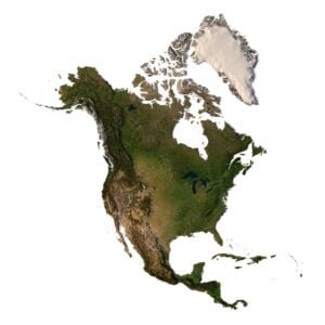
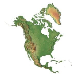
Overview of the USA 3D Map Model
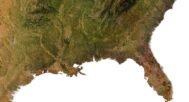
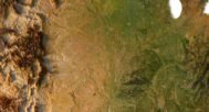
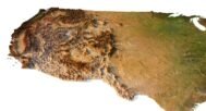
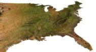
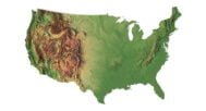
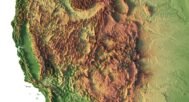
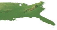
Our 3D map model of the USA is the perfect solution for graphic design, educational projects and creative works. This highly detailed map includes a satellite texture and a pseudo-color map where color is associated with elevation.
The model contains a UV layer that provides accurate texture mapping for realistic results when used in design or presentations.
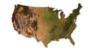
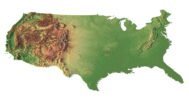
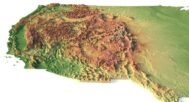
Key Features of the USA Map in 3D
- High-resolution relief map: Contains detailed topographic data of the entire United States.
- Multiple Texture Support: Apply satellite and DEM textures to show different geographic aspects.
- 3D elevation and elevation models: Ideal for those who need an accurate 3D relief map of the United States.
- Customizable for your projects: This map is suitable for 3D modeling, architectural visualization and educational purposes.