Solar System
 World
World Continents
 Peninsulas
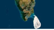
 Islands
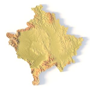
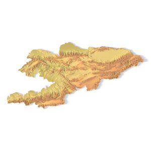
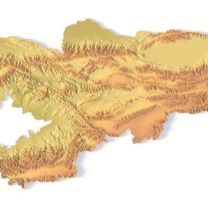
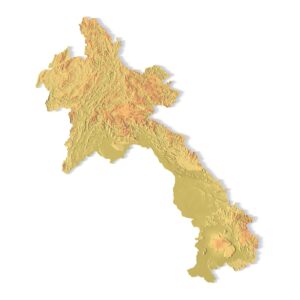
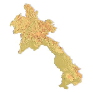
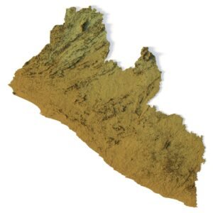
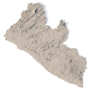
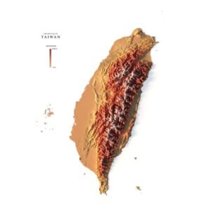
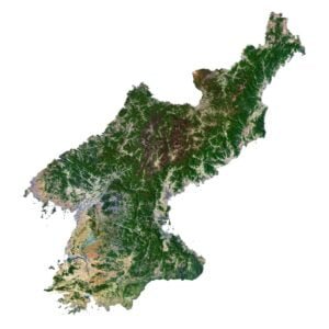
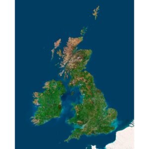
 Countries
 States of America
 Canadian Provinces
 Parks & Canyons
 Fantasy
 Other
Other


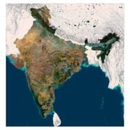
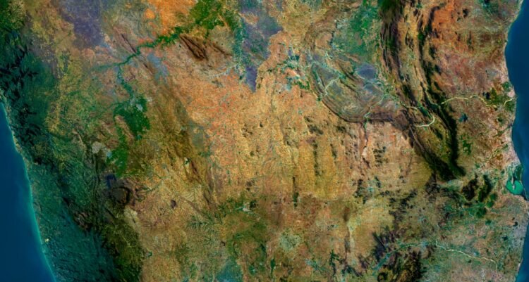
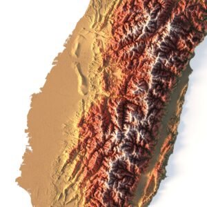
Discover the mesmerizing beauty of India from a whole new perspective with our 3D map of India. Whether you’re a travel enthusiast, an educator, or simply passionate about geography, this skillfully crafted 3D map offers you an unprecedented journey into the heart of India.
Key Features:
- Highly detailed: Our 3D map of India is highly accurate and captures all the details of India’s diverse topography, including the towering peaks of the Himalayas, the vast plains of the Gangetic basin, and the scenic coastline of the Arabian and Bay of Bengal.
- Geographical accuracy: It is a 3D map created based on accurate geographical data, however, to emphasize the beauty of the terrain we have slightly indented the rivers and lakes, and I have raised the mountains a bit. Otherwise, the terrain would be very flat.
- Educational Resource: Ideal for the classroom, it is an invaluable educational tool to help students and teachers visualize the geographical features of a country.
- Versatile Use: Whether you are planning a trip, studying geography, decorating your office, or enhancing a presentation, it is a versatile 3D map of India that can be used for a variety of purposes, both educational and decorative. Printed on high-quality materials, the 3D map of India is durable and visually appealing, making it an elegant addition to any home, office, or educational institution.