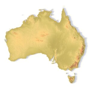

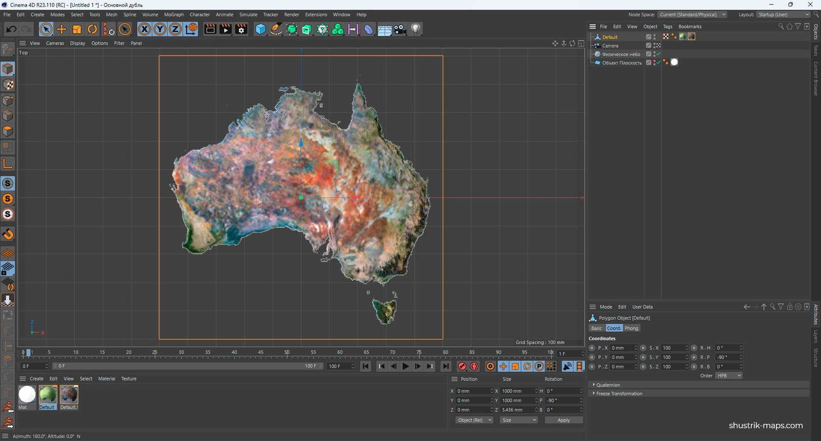
Terrain Map of Australia 3D Model
$35.00
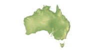
Terrain Map of Australia 3D Model: Accurate Topographical Representation
![]()
3D model
- Format: C4D (export to OBJ/FBX on request)
- File size (unzipped): 457 MB
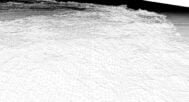
- Polygons: 7 992 002
- Vertices: 4 000 000
- Geometry: Polygonal Tris only
- Model size: 1000 mm x 1000 mm x 3.436 mm
- Projection: Mercator
- Base: Open
- UV layer: Yes (frontal)
Textures
- Height Map TIF 8193*8193*16b – You can use this map in the displacement channel instead of the polygonal mesh.
- Normal Map TIF 8193*8193*48b – Use this map to reveal fine details of the relief.
- Satellite Maps TIF 8193*8193*48b.
- Water Mask TIF 8193*8193*48b – Use this map for masking in the Reflection channel to get glare from the water surface.
- Pseudo-color Map 8193*8193*48b – Use this map to get elevation information based on the color shade.
- Boundary Mask TIF 8193*8193*48b – Use this map as a mask for your background.
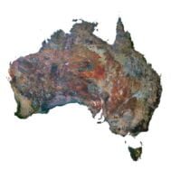
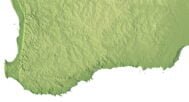
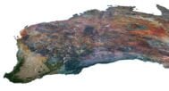
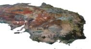
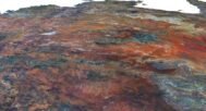
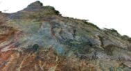
The Australia 3D Terrain Model offers a highly detailed and precise representation of the country’s diverse landscapes, including mountains, valleys, rivers, and other natural features. Created using accurate geospatial data and elevation mapping, this model is perfect for 3D landscape design, educational purposes, and professional terrain visualization. Whether you’re working in design, cartography, or environmental studies, this 3D model captures Australia’s intricate topography with unparalleled detail.
High-Resolution Topographic Model of Australia
Our Australia 3D Terrain Model combines data from satellite imagery and topographical surveys to create a visually stunning and accurate digital representation of Australia’s geographical features. The map includes fine details such as mountain ranges, lakes, and coastlines, making it perfect for a variety of professional and educational applications, including relief visualization and landform representation.
Applications of the Australia 3D Topographic Model
- Professional Use
Ideal for geospatial professionals, designers, and researchers, this digital elevation model provides a clear understanding of Australia’s terrain. The model can be used with mapping software for spatial analysis and terrain visualization in fields such as urban planning, geology, and environmental science. - Educational Tool
Perfect for classrooms, the model offers a vivid way to teach students about Australia’s topography and elevation. The model brings to life the country’s natural landscapes, including mountain ranges and valleys, providing an engaging and informative learning experience. - 3D Graphic Design
For graphic designers, this high-resolution terrain map is an excellent resource for creating detailed 3D landscapes. The accuracy of the elevation data ensures that every landform is depicted with precision, adding depth to custom projects.
Why Choose Our Australia 3D Terrain Model?
This model delivers unmatched detail and accuracy in visualizing Australia’s terrain. It’s ideal for anyone who needs a reliable and high-resolution topographic model for design, research, or educational purposes. Whether you’re exploring Australia’s topography or planning a project requiring terrain mapping, this model provides everything you need for an in-depth analysis of the country’s natural features.
In addition to the 3D terrain of the Australia, you get a map of heights, a map of normals, satellite textures and other maps.
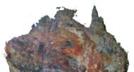
Height Map

You can use this map in the displacement channel instead of the polygonal mesh.
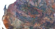
Normal Map

Use this map to reveal fine details of the relief.
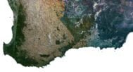
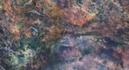
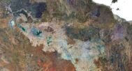
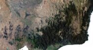
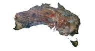
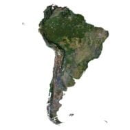
Satellite image

The satellite texture is high resolution in TIF format.
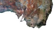
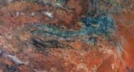
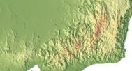
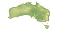
Pseudo-color Map

Use this map to get elevation information based on the color shade.
Water Mask

Use this map for masking in the Reflection channel to get glare from the water surface.
Have a Question?
Do you need Shapefile?
Do you need more resolution satellite images?
Do you need a 3D model in BLEND, OBJ or FBX format?