Showing 1–25 of 51 results


USA States 3D STL Models for 3D Printing & CNC
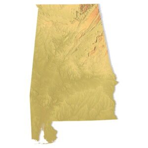
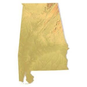
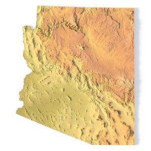
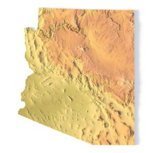
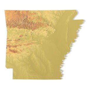
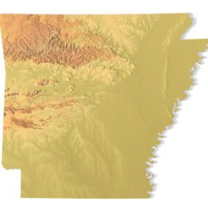
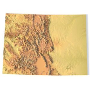
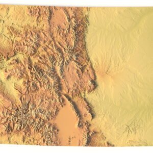
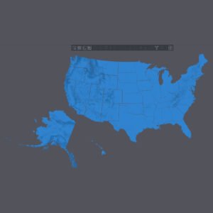
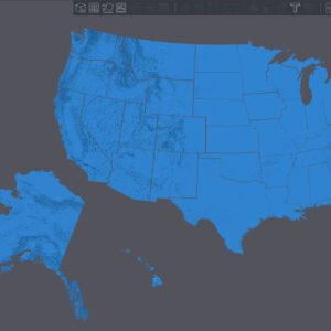
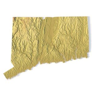
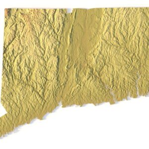
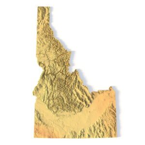
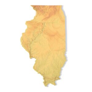
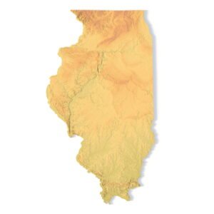
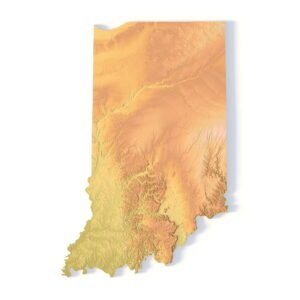
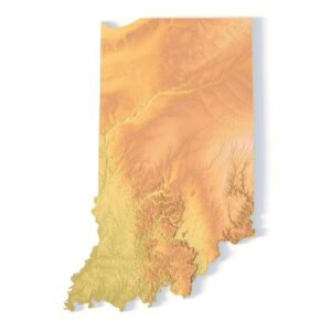
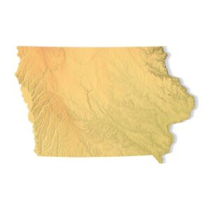
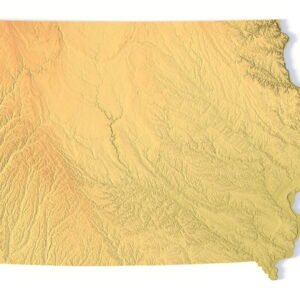
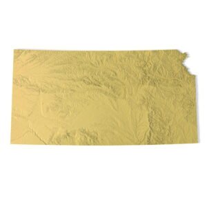
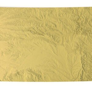
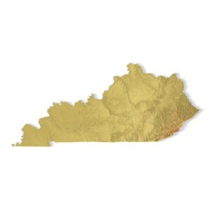
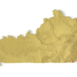
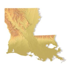
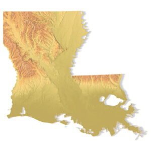
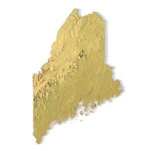
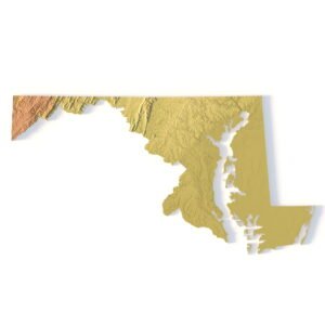
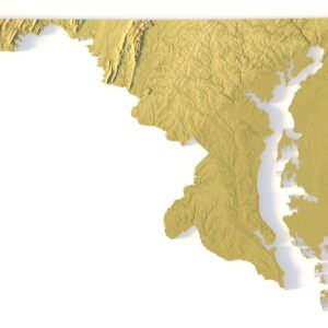
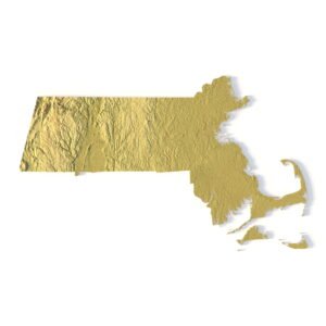
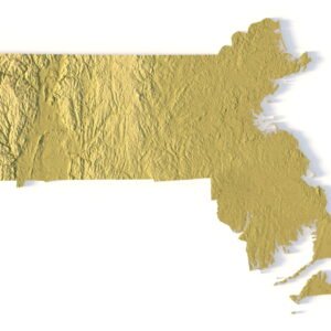
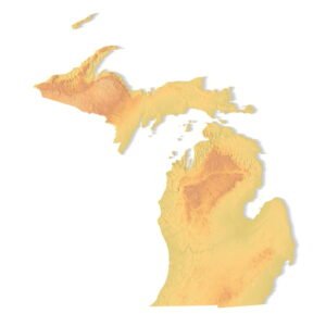
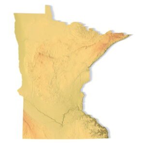
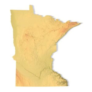
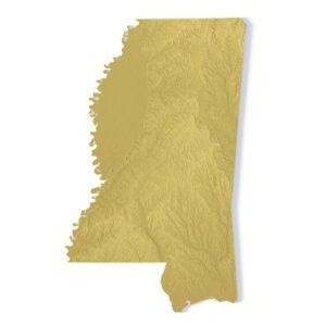
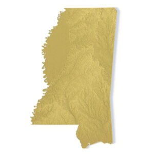
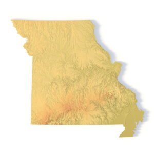
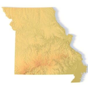
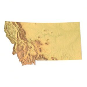
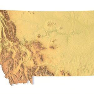
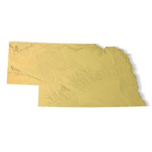
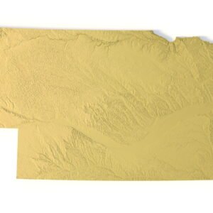
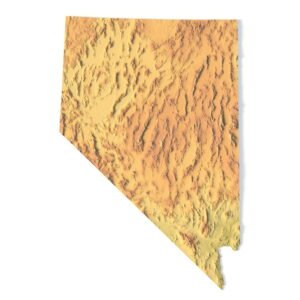
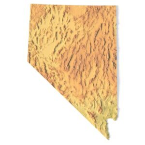
USA States 3D STL Models are high-resolution topographic 3D maps in STL format, created for 3D printing, CNC machining, laser engraving, and professional digital production. This category includes detailed 3D models of all U.S. states, accurately representing terrain relief, coastlines, and state boundaries.
Each U.S. state STL model is generated from real elevation data and optimized for manufacturing workflows. These 3D printable state maps are ideal for educators, designers, architects, makers, CNC operators, and businesses producing physical maps, wall art, or educational displays.
What You’ll Find in This Category
In the States of America 3D Print & CNC Models section, you can download:
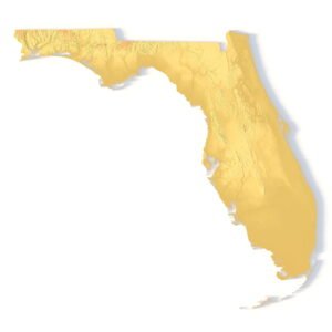
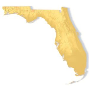
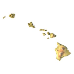
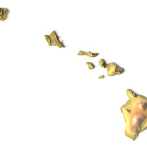
- Individual USA state STL models (California, Texas, New York, Florida, etc.)
- High-detail terrain maps of all 50 states
- STL files optimized for both small desktop prints and large CNC projects
All models are provided as instant digital downloads and are compatible with popular slicers, CAD, and CAM software.
Key Features of Our USA State STL Models
- Accurate topographic relief based on real geographic elevation data
- STL format — universal standard for 3D printing and CNC machining
- Closed, manufacturing-ready geometry
- Fully scalable models without loss of detail
- Optimized for FDM, SLA, SLS printers and CNC milling
These 3D printable maps of U.S. states are suitable for creating wall decor, educational tools, museum exhibits, architectural mockups, and custom gifts.
Use Cases
- 3D printed maps of U.S. states
- CNC-carved wooden or metal state maps
- Educational geography and geology models
- Interior wall art and installations
- Prototyping and visualization projects
- Creative and artistic terrain designs
Customization & Professional Applications
All USA state STL models can be easily edited in any STL-compatible software. You may adjust scale, terrain height exaggeration, base thickness, or combine multiple states into regional compositions. Custom projections, resolutions, and state groupings are available on request.
Explore the USA States 3D STL Models category and download professional-grade terrain files designed for 3D printing and CNC machining.