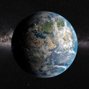
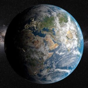
Solar System
 World
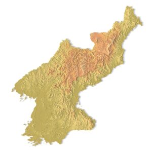
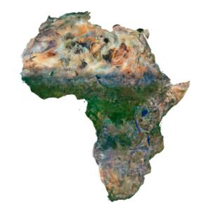
World Continents
 Peninsulas
 Islands
 Countries
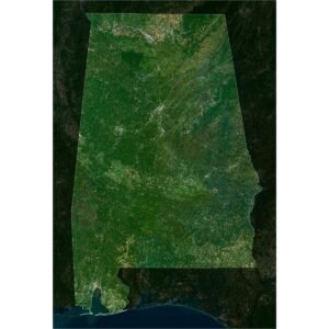
 States of America
 Canadian Provinces
 Parks & Canyons
 Fantasy
 Other
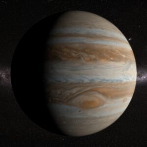
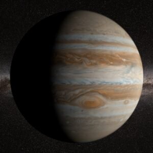
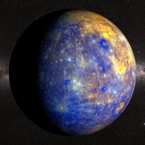
Other Planets
 Satellites
3D MAPS AND PLANETS FOR VISUALIZATION, ANIMATION & GAMES
Explore a growing library of 3D world maps, terrain models, and realistic planet models — perfect for motion design, animation, game development, and digital art.

We offer models in OBJ, FBX, and C4D formats, fully compatible with Blender, Cinema 4D, Unity, Unreal Engine, After Effects, and other 3D tools.
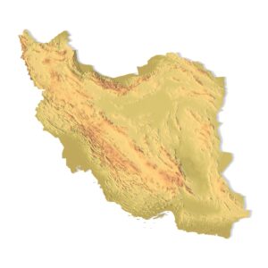
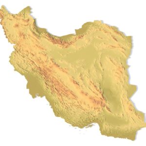
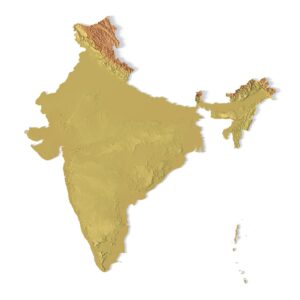
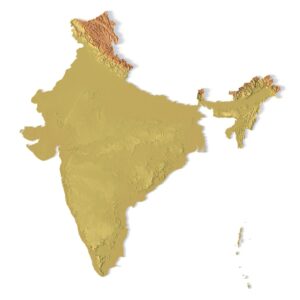
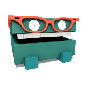
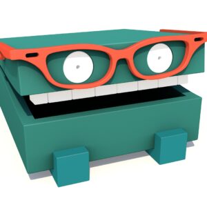
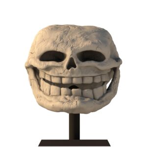
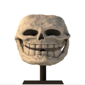
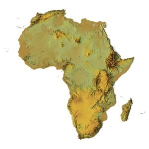
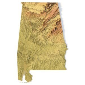
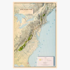
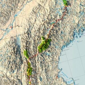
PRODUCT EXAMPLES
Browse, download, and bring your next project to life with high-quality geographic 3D models.
Original price was: $20.00.$15.00Current price is: $15.00.

Original price was: $20.00.$15.00Current price is: $15.00.
Original price was: $25.00.$15.00Current price is: $15.00.
What you’ll find in this category:
- 3D map models of countries, continents, islands, and regions
- Planet models: Earth, Mars, Moon, and more — detailed and optimized
- Low-poly and high-resolution terrain for use in games and simulations
- Topographic globe models for animation and motion graphics
Use Cases:
- Animated Earth intros for video and YouTube
- 3D maps for strategy and simulation games
- Sci-fi planets for cinematic environments
- Topographic backgrounds in visual presentations
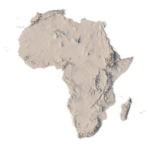
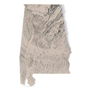
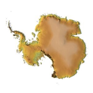
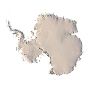
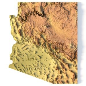
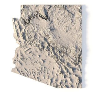
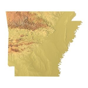
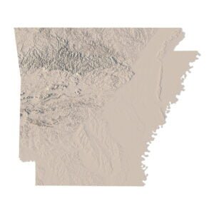
3D PRINTABLE & CNC-READY TERRAIN MODELS
Discover high-quality 3D printable terrain models and CNC-ready topographic maps designed for makers, educators, and professionals.
Our STL and STEP files are optimized for 3D printing on FDM and SLA printers, as well as for precise CNC milling on wood, metal, and acrylic.


$21.00


Use them for:
- Educational tools for schools, universities, and museums
- Interior decor — wall art, relief panels, and geographic sculptures
- Custom gifts and souvenirs made from wood or metal
- Jewelry design — miniature maps, continents, or planetary reliefs
- DIY projects for makers and hobbyists
Perfect for:
- 3D printing studios
- CNC professionals
- Educators
- Interior designers
- Creative hobbyists
- Jewelers and Engravers
TRY IT FOR FREE
DOWNLOAD A FREE 3D MODELS
Get a high-quality 3D model absolutely free. Test it in your workflow, check compatibility, and explore the level of detail we provide. Formats include OBJ, STL, FBX, and more.
REQUEST A CUSTOM
TERRAIN 3D MODELS
Looking for a specific country, island, park, or terrain that’s not yet in our catalog? Send us a request — we’ll create or prepare the model tailored to your needs.
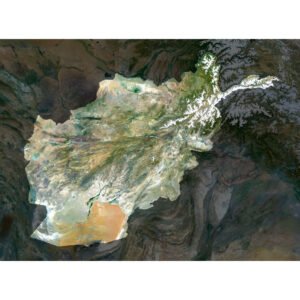
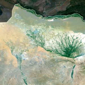
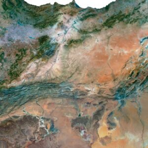
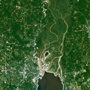
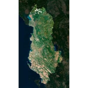
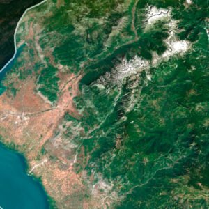
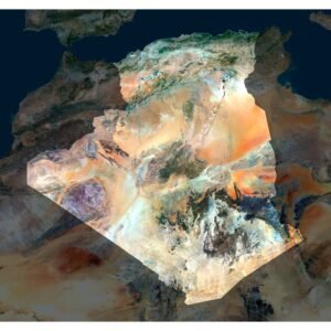
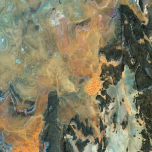
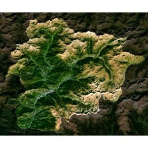
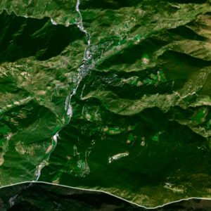
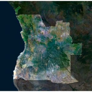
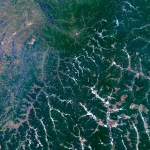
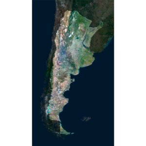
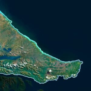
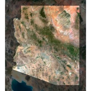
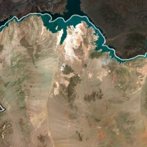
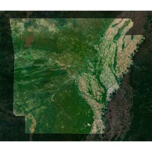
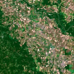
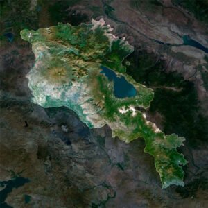
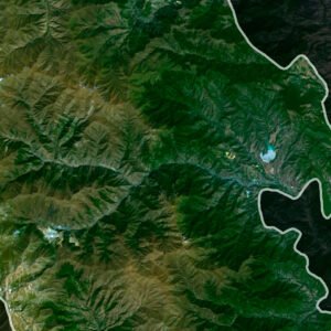
HIGH-RESOLUTION SATELLITE & HISTORICAL MAPS
Access a premium collection of high-resolution satellite images, night Earth maps, digital elevation maps, and historical map files.
Available in GeoTIFF, TIFF, and layered PSD formats, with both RGB and CMYK color profiles for digital design and professional printing.
$10.00
$15.00
$15.00
$15.00
$15.00
$15.00
$15.00
$15.00
Perfect for:
- Designers and publishers
- Architects and urban planners
- Educators and researchers
- Interior decorators and print studios
- GIS and mapping professionals
Use them for:
- Posters, book covers, packaging, and wall art
- Scientific reports, presentations, and infographics
- 3D terrain generation and elevation modeling
- Historical reconstructions and classroom visuals
- Custom prints on canvas, metal, or paper
WHAT WE OFFER?
We provide a wide range of 3D topographic maps, terrain models, and satellite map downloads for designers, educators, engineers, and creators.
All files are optimized for 3D printing, CNC milling, GIS mapping, visual design, and professional use.
All files are optimized for 3D printing, CNC milling, GIS mapping, visual design, and professional use.
EXPLORE FEATURED 3D MODELS
Browse top-selling 3D terrain models, STL country maps, and satellite maps in various formats.
All models are tested and ready for printing, milling, animation...
All models are tested and ready for printing, milling, animation...